Loading…

Fern Canyon Loop Trail
Free — you'll pick up right here.
Watch this trail
Sign up to watch it — saving subscribes you to gate, closure and report changes.
California
We won't guess. Here is exactly what we do and don't know.
What we do know
Inside Redwood National Park
National Park unit boundary is mapped — agency alerts for it feed this page automatically.
Boundary data
What's missing
No access route mapped
We don't yet know which road reaches this trailhead, so we can't tell you if it's gated.
Nobody's filed a report here yet — be the first.
Why you'll love it
Fern Canyon Loop Trail
AI-suggested draft · review before you go
No elevation data on file for this trail.
No permit or access details on file for this trail — check with the local land manager before you go.
<strong>A Popular Walk That Comes With Stream Crossings and Walls of Greenery.<br /> <br /> <br /> If you plan to drive to Fern Canyon from May 15 - Sept 15, you will need to apply for online - and have been issued - a free </strong><a href="https://www.nps.gov/redw/planyourvisit/ferncanyonpermits.htm">Gold Bluffs Beach / Fern Canyon parking permit.</a><strong> </strong>Read the official <a href="https://www.nps.gov/redw/learn/news/gbbpermits.htm">news release</a> about how we are protecting this area with timed-entries. Summer visitors now will have a safer and much less crowded experience at Fern Canyon. Note: Hikers can still hike the 11-mile round trip to Fern Canyon from the Prairie Creek Visitor Center without any permit.<br /> <br /> Prepare to get your feet wet to really explore this short walk into a stunning mini-canyon covered with ferns. This is a very popular walk up a cobbled stream. Many travel writers and bloggers talk about the natural beauty of this area. You won't find huge redwoods right here, but it is surrounded by Sitka spruce and other conifers.<br /> <br /> From the parking lot by Gold Bluffs Beach, the trail can be done as a 1-mile "lolly-pop" loop with an elevation gain of 150 feet. If you want to do the loop, a quarter of the mile up the canyon keep an eye out for stairs leading up the left side as the canyon walls get less steep. This side-trail will then eventually loop back to the mouth of Fern Canyon. <br /> <br /> Or, if you want to go in and out, hikers can stick to the bed of Home Creek. Within quarter of a mile you see the steep, leafy walls of Fern Canyon. This easier option has a 30-foot elevation change. Either of these options might mean walking or winding in-between or under log jams that occur in winter floods.<br /> <br /> Normally from June to September, there are wooden footbridges installed in Fern Canyon to help walkers get partway up Home Creek without getting their feet too wet. Our advice is to wear waterproof footwear with good traction, and bring a pair of dry shoes to wear after your walk.<br /> <br /> Be aware that Davison Road (a windy, dirt road) is has limits on vehicle sizes. Vehicles need to be less than 24-feet long. Therefore getting to Fern Canyon is <strong>not an option for large recreational vehicles or anything towing a trailer</strong>. Also, people driving <strong>low-clearance vehicles often get stuck when trying to cross two streams</strong> on the way to the Fern Canyon parking area.<br /> <br /> There is a California State Park entrance kiosk to access the area. Fees are $12 for a regular vehicle. California State and federal entrance passes are honored at this kiosk.<strong> Credit cards are not accepted</strong>.<br /> <br /> A herd of Roosevelt Elk is often in the area and these are wild animals. <a href="https://www.nps.gov/redw/learn/nature/roosevelt-elk.htm">Learn how to be safe around elk</a>. It is important to keep your distance - don't approach them at all. In early summer, the females will protect their fawns by kicking at a human head with their massive front legs. In autumn, the male elk will be fighting for dominance and their antlers can be deadly.<br /> <br /> Before you set off to visit Fern Canyon, be sure to check <a href="https://www.nps.gov/redw/planyourvisit/conditions.htm">current conditions</a> and make sure that the roads are open - or to see if the seasonal footbridges have been installed.<br /> <br /> <span style="font-size:11pt"><span style="line-height:107%"><span style="font-family:Calibri,sans-serif">Safety Tips</span></span></span> <ul> <li><span style="font-size:11pt"><span style="line-height:107%"><span style="font-family:Calibri,sans-serif">We recommend you purchase and use a good map and trail guide for your adventures in Redwood National and State Parks. Don’t rely on online maps when you are here.</span></span></span></li> <li><span style="font-size:11pt"><span style="line-height:107%"><span style="font-family:Calibri,sans-serif">To protect the habitats, leave no trace also means staying on the developed trail. Please don’t go off-trail and make any new trails. These forests grow by the inch, and will die by your foot.</span></span></span></li> <li><span style="font-size:11pt"><span style="line-height:107%"><span style="font-family:Calibri,sans-serif">To protect the wildlife (and you and other visitors), pets are not allowed on park trails.</span></span></span></li> <li><span style="font-size:11pt"><span style="line-height:107%"><span style="font-family:Calibri,sans-serif">Cell coverage is very limited and cannot be relied on in an emergency. Have a plan for checking in and checking out with a friend when you are here.</span></span></span></li> </ul> <br />
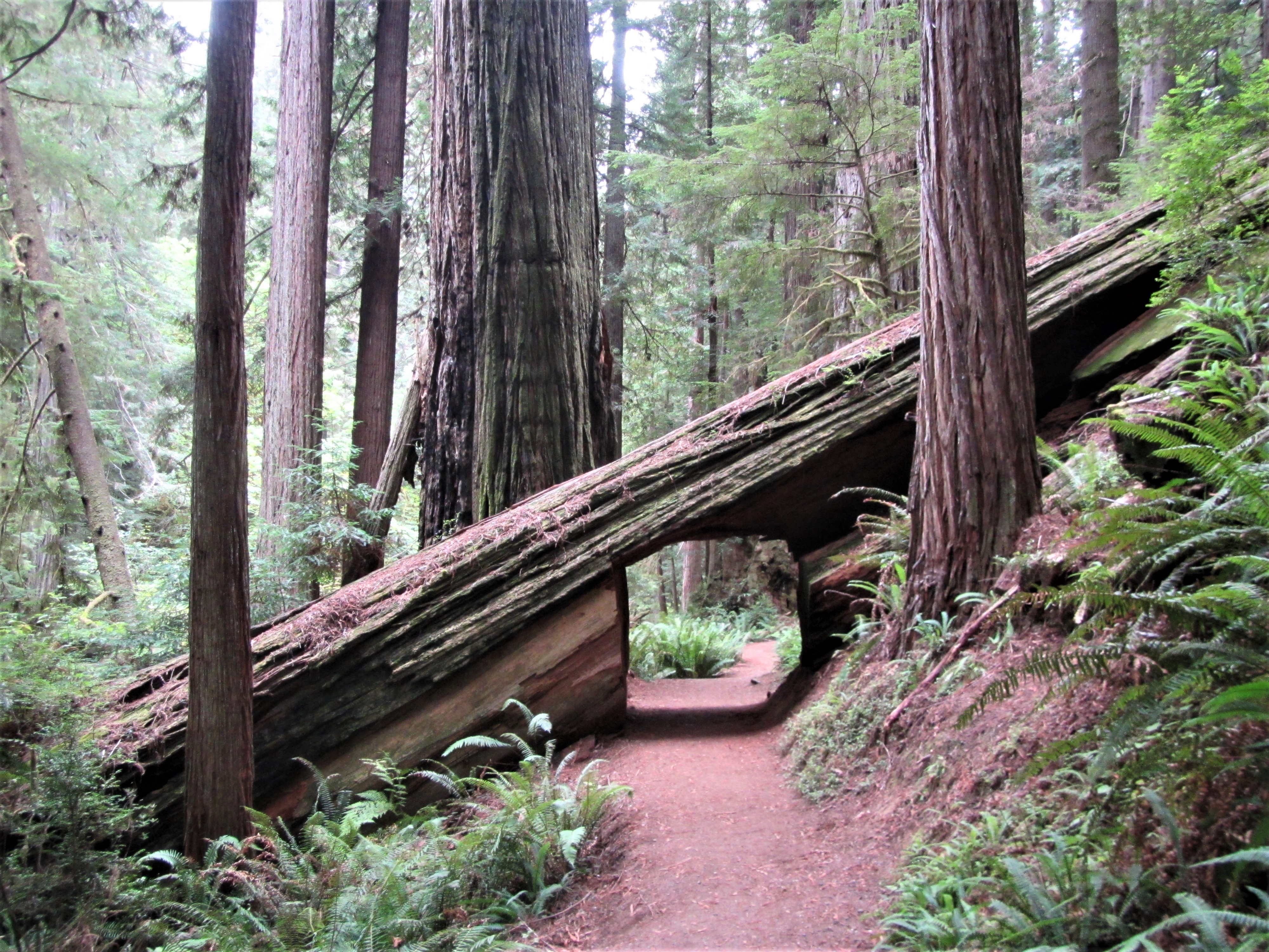
Trailhead: Karl Knapp (Prairie Creek) to Foothills Trail Loop
~6 min drive
<strong>Note: In late 2021 the Prairie Creek Trail was renamed the Karl Knapp Trail.</strong> Future publications, maps, and signs will show the new name.<br /> <br /> The Karl Knapp Trailhead is next to the Prairie Creek Visitor Center. This is a loop trail that can be comple…
East Fork Blue Creek
~30 min drive
Moderate creek-side hike with 696 ft gain near Blue Creek drainage.
Mc Clendon Ford
~35 min drive
Steep 1.95-mile foothill climb with 879 ft elevation gain.
Old South Kelsey
~37 min drive
Strenuous 15.8-mile backcountry trail with 2,396 ft elevation gain.
Revelation Trail
~6 min drive
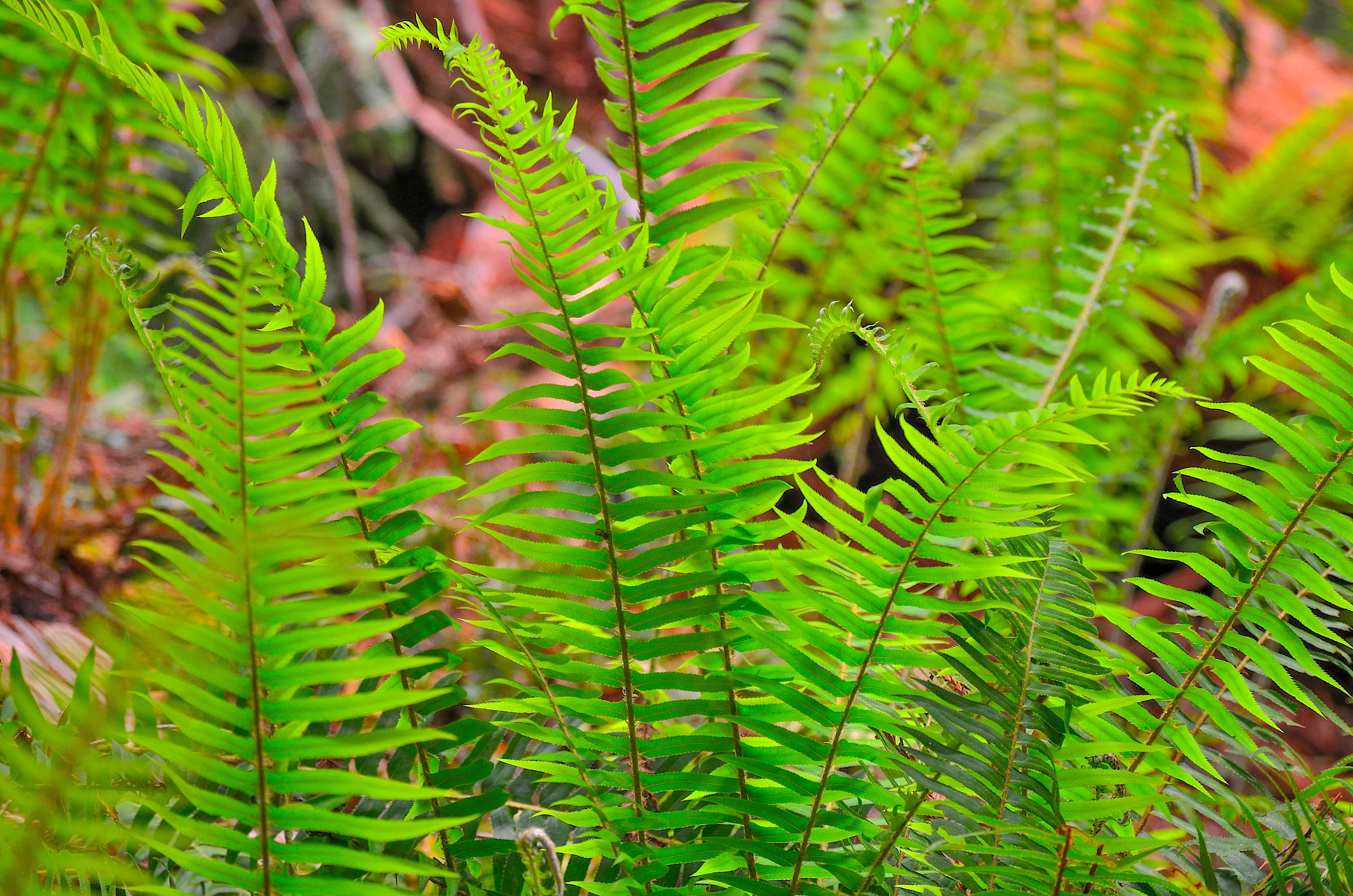
<strong>A short but meaningful walk thru the redwoods.</strong><br /> <br /> This 1/4 mile long loop-trail is flat and is through some of the most beautiful, and easily accessible old-growth redwoods. Interpretive signs encourage the use of different senses to learn about and…
Red Mountain Lake
~38 min drive
Short alpine lake hike with steady elevation gain and mountain views.
Summit Valley
~37 min drive
Steep 2.24-mile alpine climb with 1,634 ft elevation gain.
Forks of Blue Creek
~38 min drive
Moderately challenging 15+ mile creek-side trek through California backcountry.
Davison Trail: South Access
~9 min drive
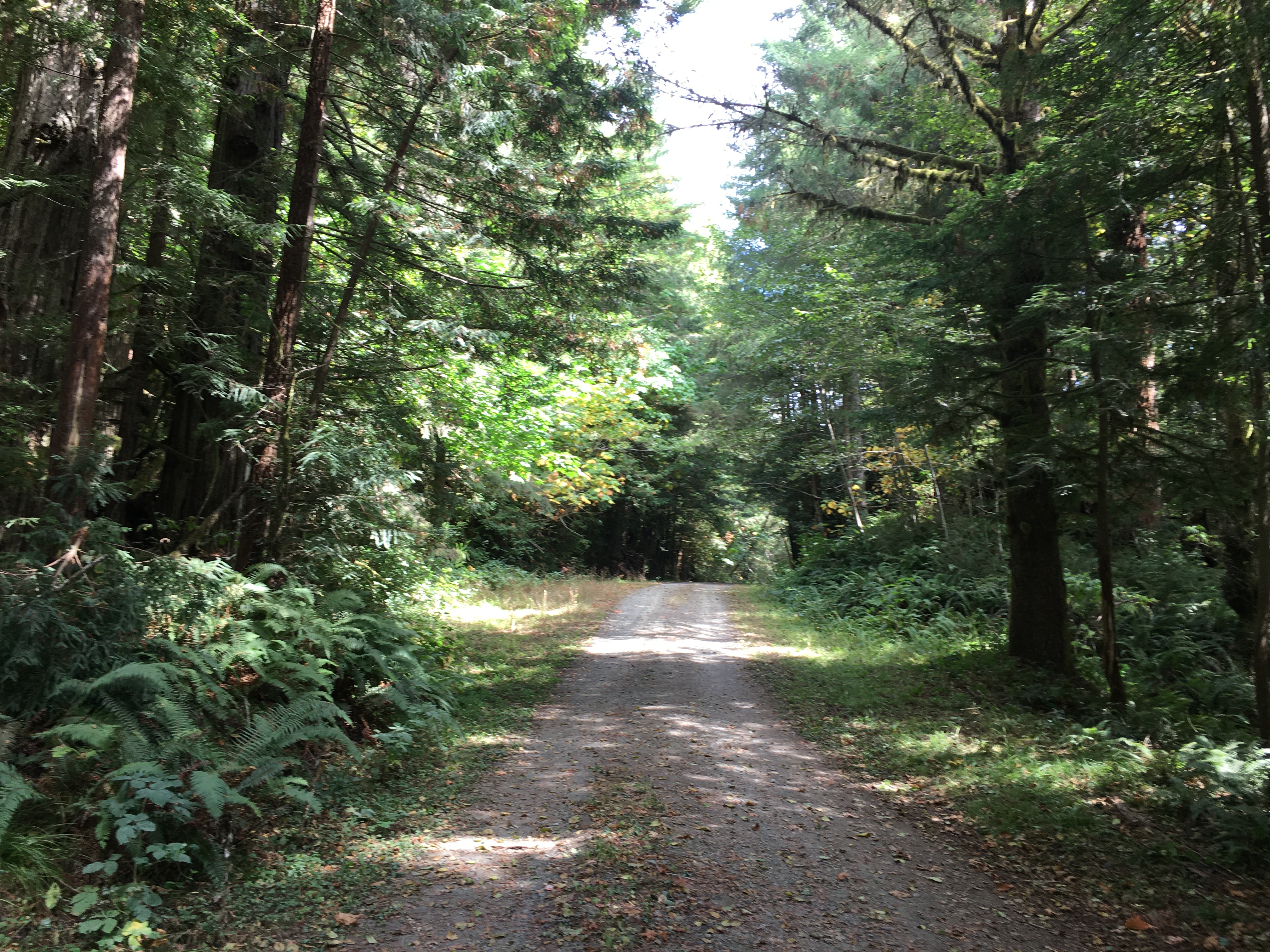
A short trail that is part of a of "Hike and Bike" hub in the southern end of the redwood parks. You will see first-hand the legacy of 20th century redwood logging practices.<br /> <br /> This 2.5 mile trail follows an old logging road from the Elk Meadow Day Use area to the E…
Redwood Flat
~37 min drive
Easy 1-mile redwood forest walk with minimal elevation gain.