Black Mountain Group Camp
Campground
Campground · 5.1 mi from the trail
The Esther Clark Path is a short, easy out-and-back hike of about 0.8 miles in Esther Clark Park in California. It starts and ends at a low point of about 170 feet, rising to about 215 feet before returning, with a total climb of about 84 feet. The trail is steady rather than steep, and the steepest stretch comes at about 0.3 miles into the route. The most comfortable months for a walk here are late spring and early fall. Typical averages from a nearby weather station in Palo Alto show May highs around 73°F with lows near 50°F, and September highs near 80°F with lows around 53°F, with only a day or two of rain in each. Several other short walks sit close by. The Matadero Creek Pedestrian Trail is about a mile away, and the Page Mill to Saddle Court path and Redtail Loop Trail are each about 1.8 miles off. Climbers can find the Aquarian Valley area roughly 7 miles away.
Black Mountain Group Camp
Campground
 If it rainsIxfd64, CC BY-SA 4.0 · Wikimedia Commons
Places © OpenStreetMap contributors, Places © Overture Maps Foundation · Photos: Ixfd64, CC BY-SA 4.0 (commons)
More in Pescadero Matadero Creek Pedestrian TrailHikingPhoto: bsterling, CC BY-SA 2.0 (via Flickr)1 miPage Mill to Saddle Court pathHikingPhoto: bsterling, CC BY-SA 2.0 (via Flickr)1.5 mi
 Redtail Loop TrailHikingPhoto: leighklotz, CC BY 2.0 (via Flickr)1.8 mi
Source: Roamze catalog (indexable pages within 10 miles, PostGIS distance)
Matadero Creek Pedestrian TrailHiking · ~2 min drivePhoto: bsterling, CC BY-SA 2.0 (via Flickr) Panorama TrailHiking · ~4 min drivePhoto: bsterling, CC BY-SA 2.0 (via Flickr)Page Mill to Saddle Court pathHiking · ~3 min drivePhoto: bsterling, CC BY-SA 2.0 (via Flickr)
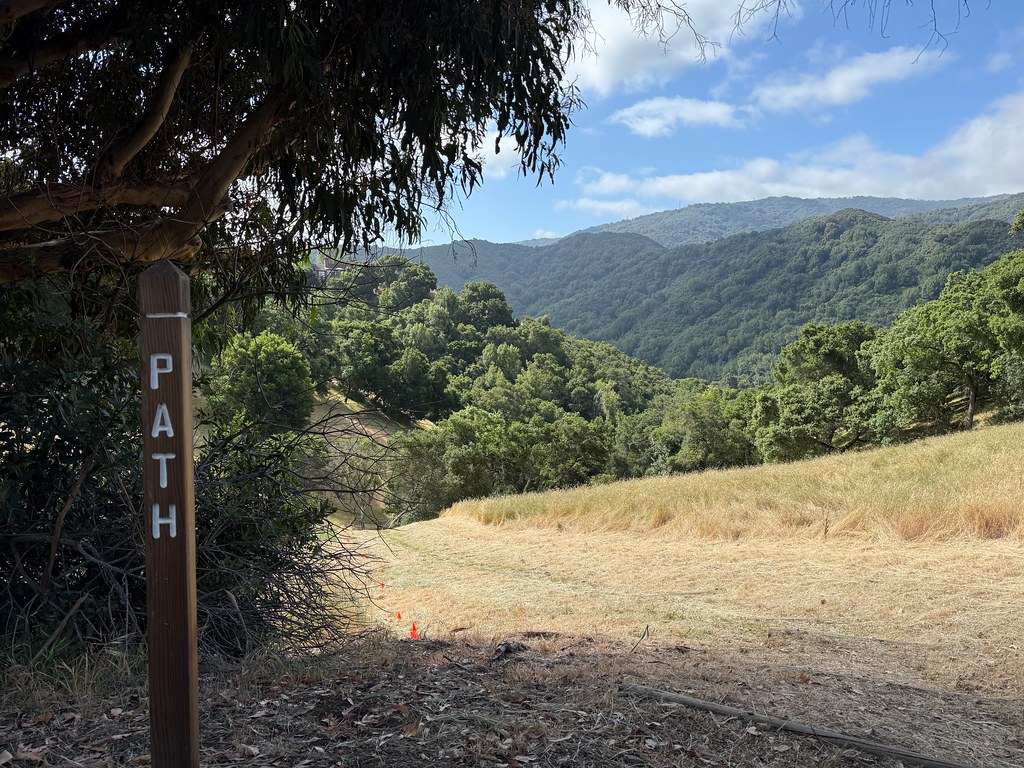 Hostel TrailHiking · ~5 min drivePhoto: bsterling, CC BY-SA 2.0 (via Flickr)Redtail Loop TrailHiking · ~3 min drivePhoto: leighklotz, CC BY 2.0 (via Flickr)
 Toyon TrailHiking · ~6 min drivePhoto: bsterling, CC BY-SA 2.0 (via Flickr)Wild Rye TrailHiking · ~3 min drivePhoto: leighklotz, CC BY 2.0 (via Flickr)
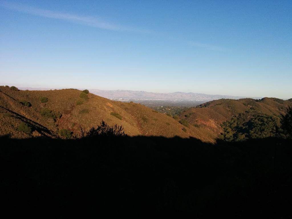 Creek TrailHiking · ~6 min drivePhoto: AlisonChaiken, CC BY-SA 2.0 (via Flickr)
 Paseo del Roble TrailHiking · ~3 min drivePhoto: dbaron, CC BY-SA 2.0 (via Flickr)Long Bunny LoopHiking · ~6 min drivePhoto: AlisonChaiken, CC BY-SA 2.0 (via Flickr)
Also worth it near here
Best months: Year-round. Best months have typical highs of 55–85 °F, lows of 30 °F or warmer (32 °F where the station doesn't record snow), at most one snowy day and no more than 12 wet days.
Jan
58° / 39°
10 wet
Feb
61° / 41°
10 wet
Mar
65° / 44°
8 wet
Apr
70° / 45°
5 wet
May
73° / 50°
2 wet
Jun
79° / 53°
1 wet
Jul
79° / 56°
0 wet
Aug
79° / 55°
0 wet
Sep
80° / 53°
1 wet
Oct
74° / 48°
3 wet
Nov
64° / 42°
6 wet
Dec
58° / 39°
9 wet
Typical high / low (°F) and days with rain or snow, 1991–2020. Measured at Palo Alto, CA, 3.5 mi away at 25 ft. Source: NOAA NCEI U.S. Climate Normals 1991–2020.
Map and trail data © OpenStreetMap contributors
