Loading…

Free — you'll pick up right here.
Watch this trail
Sign up to watch it — saving subscribes you to gate, closure and report changes.
California
2.0 mi
Distance
14 ft
Gain
We won't guess. Here is exactly what we do and don't know.
What we do know
Inside Cleveland National Forest
2 managing-area boundaries mapped — agency alerts for them feed this page automatically.
Boundary data
What's missing
No access route mapped
We don't yet know which road reaches this trailhead, so we can't tell you if it's gated.
Nobody's filed a report here yet — be the first.
Why you'll love it
Espinosa Trail (TH to 10,628'
AI-suggested draft · review before you go
No permit or access details on file for this trail — check with the local land manager before you go.
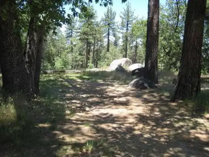
The Espinosa Trail is a short, accessible high-elevation walk that reaches 10,628 feet with minimal elevation gain, making it ideal for those seeking alpine views without strenuous climbing. This trail offers a gentle introduction to high-altitude hiking in California's mountain terrain, with expansive vistas typical of the upper elevations in this region.
Kernan
~3 min drive
11-mile moderate trail with 1,668 ft elevation gain near Kernan, CA.
Bobcat
~4 min drive
Quick 2-mile chaparral climb with 460 ft gain near Bobcat.
Greenhorn
~6 min drive
Easy 3.2-mile foothill hike with 396 ft elevation gain near Greenhorn.
Wrangler
~6 min drive
Moderate 7.8-mile hike with nearly 1,000 ft elevation gain.
Corral
~4 min drive
Easy 2.48-mile trail with minimal elevation gain near Corral.
Observatory
~1h 17m drive
Scenic 4.4-mile hike with 1,000 ft gain to an observatory viewpoint.
Secret Canyon
~9 min drive
Remote 22.5-mile canyon trek through California backcountry with moderate elevation gain.
Sidewinder
~4 min drive
Easy 1.8-mile desert trail with 303 ft gain near Sidewinder.
Gun Slinger
~5 min drive
Easy 3.68-mile trail with minimal elevation gain near Gun Slinger, California.
Noble Canyon
~13 min drive
Challenging 20-mile backcountry trail with 2,785 ft elevation gain in San Diego County.