Escondido RV Resort
Campground
Campground · 5.2 mi from the trail
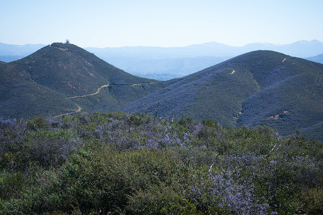
The Equine Incline Loop Trail is a 2.5-mile hike with a total elevation gain of 870 feet, set in Elfin Forest Recreational Reserve in California. The land is managed by the Regional Water Districts, and the trail is rated easy. The route begins at about 1,180 feet and reaches a high of 1,316 feet before descending to roughly 814 feet. The steepest section comes at about 1.2 miles in, where the grade reaches 20%. The climb is about 1.5 hours long. Spring and fall are the most comfortable times to go. Typical averages from a nearby weather station in Escondido show May highs around 77°F and November highs around 75°F, while July and August average in the upper 80s. Several other trails start within half a mile, including the Botanical Trail and the Lake Hodges Overlook Trail. The Way Up Trail is about 0.6 miles away, and the San Dieguito River paddling route is about 3.4 miles off.
Escondido RV Resort
Campground
Hernandez' Hideaway
Restaurant
 If it rainsAlan Islas, CC BY-SA 4.0 · Wikimedia Commons
Living-history museum in Vista, California
Places © OpenStreetMap contributors · Photos: Alan Islas, CC BY-SA 4.0 (commons)
More in FallbrookNot on Roamze yet. Their page has how to reach them.
 Questhaven Nature TrailHikingPhoto: Jason Rosenberg, CC BY 2.0 (via Flickr)1.6 mi
Source: Roamze catalog (indexable pages within 10 miles, PostGIS distance)
Questhaven Nature TrailHiking · ~3 min drivePhoto: Jason Rosenberg, CC BY 2.0 (via Flickr)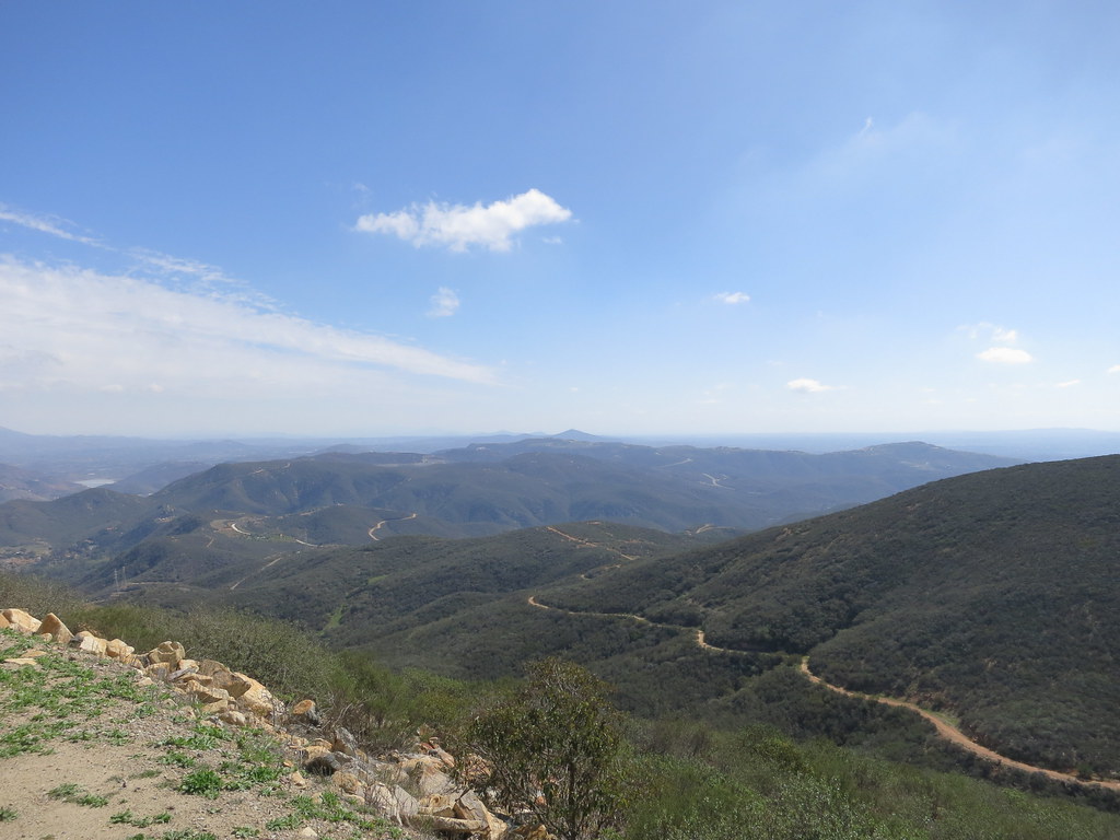 Cerro De Las Posas Ridgeline TrailHiking · ~4 min drivePhoto: Oleg., CC BY 2.0 (via Flickr)
 Lake Hodges TrailHiking · ~3 min drivePhoto: NapoliRoma, CC BY-SA 4.0 (via Wikimedia Commons)Bernardo Mountain Summit TrailHiking · ~6 min drivePhoto: NapoliRoma, CC BY-SA 4.0 (via Wikimedia Commons)
 Coast to Crest TrailHiking · ~3 min drivePhoto: kaoticsnow, CC BY-SA 2.0 (via Flickr)Lake Hodges North Shore TrailHiking · ~3 min drivePhoto: NapoliRoma, CC BY-SA 4.0 (via Wikimedia Commons)Lake Hodges North Shore TrailHiking · ~4 min drivePhoto: kaoticsnow, CC BY-SA 2.0 (via Flickr)
Best months: October–June. Best months have typical highs of 55–85 °F, lows of 30 °F or warmer (32 °F where the station doesn't record snow), at most one snowy day and no more than 12 wet days.
Jan
69° / 45°
6 wet
Feb
69° / 46°
7 wet
Mar
71° / 49°
6 wet
Apr
74° / 52°
4 wet
May
77° / 56°
3 wet
Jun
82° / 60°
1 wet
Jul
87° / 64°
1 wet
Aug
89° / 65°
1 wet
Sep
87° / 63°
1 wet
Oct
81° / 57°
2 wet
Nov
75° / 49°
4 wet
Dec
68° / 44°
6 wet
Typical high / low (°F) and days with rain or snow, 1991–2020. Measured at Escondido #2, CA, 4.1 mi away at 600 ft. The station sits about 700 ft lower than this place, so expect it a little cooler here. Source: NOAA NCEI U.S. Climate Normals 1991–2020.
Map and trail data © OpenStreetMap contributors