Bootjack Campground
Campground
Campground · 2.6 mi from the trail
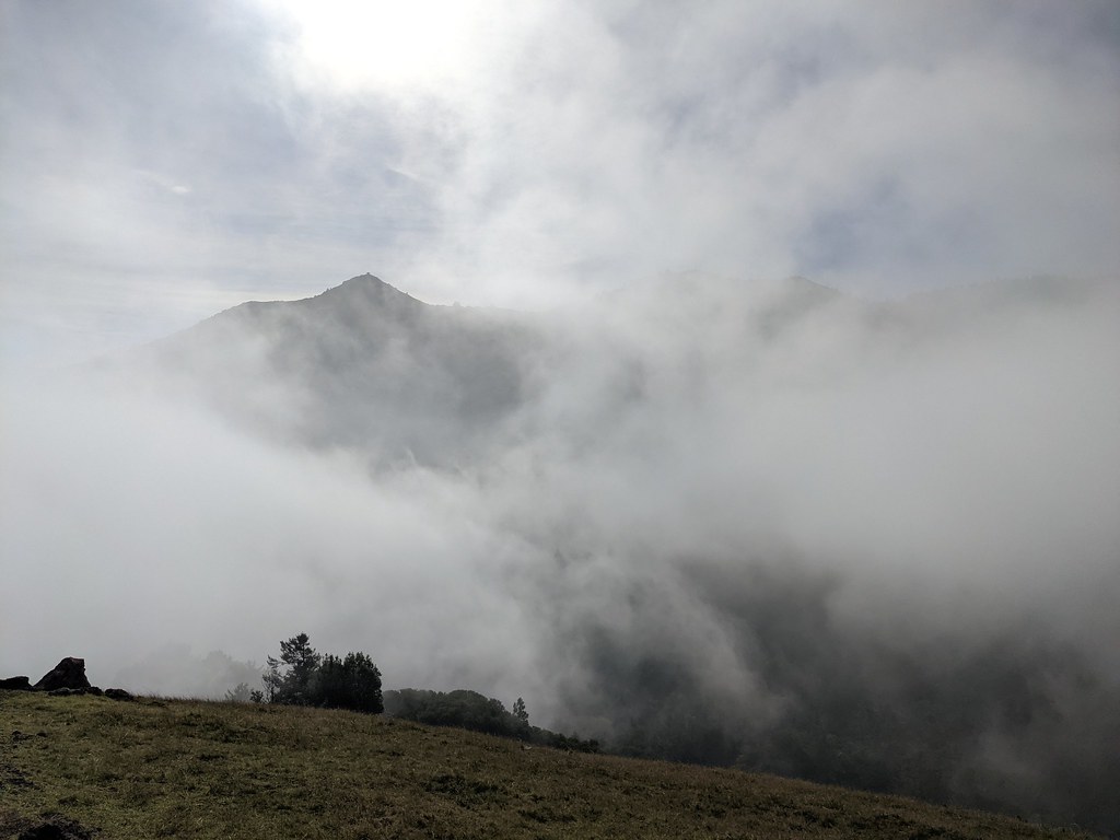 Photo: Jesse Wagstaff, CC BY 2.0 (via Flickr)
East Peak Fire Trail is a moderate, out-and-back hike in California, about 1.4 miles long and with a total elevation gain of about 1,650 feet. The route starts at roughly 860 feet and climbs to a high point of 2,387 feet. The climb is front-loaded, with the steepest stretch at about 0.8 miles, where the grade reaches 36%. The trail is managed by the Regional Water Districts. The trip takes about two hours. Plan for a full day if you want to pair it with other trails nearby. The low point of the route sits at 846 feet, and the trail returns to that elevation on the way back. Several other routes lie within a mile. Pilot Knob Trail is 0.3 miles away, and Fish Gulch Trail and Gertrude Ord Trail are each about 0.7 miles off. Climbers can head to Lakeview Boulders, about 1.2 miles away.
Bootjack Campground
Campground
 If it rainsasmartalec, CC BY 2.0 · Wikimedia Commons
Places © OpenStreetMap contributors · Photos: asmartalec, CC BY 2.0 (commons)
More in TemelecNot on Roamze yet. Their page has how to reach them.
Daily highs and lows, wind and the chance of precipitation at the summit and route start for the next 7 days, from the Open-Meteo model.
Pilot Knob TrailHikingPhoto: Jesse Wagstaff, CC BY 2.0 (via Flickr)0.3 miFish Gulch TrailHikingPhoto: Jesse Wagstaff, CC BY 2.0 (via Flickr)0.6 mi PumpkinTrailHikingPhoto: Jesse Wagstaff, CC BY 2.0 (via Flickr)0.6 mi
 Gertrude Ord TrailHikingPhoto: Jesse Wagstaff, CC BY 2.0 (via Flickr)0.7 mi
Source: Roamze catalog (indexable pages within 10 miles, PostGIS distance)
Pilot Knob TrailHiking · Next doorPhoto: Jesse Wagstaff, CC BY 2.0 (via Flickr)Gertrude Ord TrailHiking · ~1 min drivePhoto: Jesse Wagstaff, CC BY 2.0 (via Flickr) Northside TrailHiking · ~2 min drivePhoto: lamblukas, CC BY 2.0 (via Flickr)Fish Gulch TrailHiking · Next doorPhoto: Jesse Wagstaff, CC BY 2.0 (via Flickr)
 Madrone TrailHiking · ~1 min drivePhoto: lamblukas, CC BY 2.0 (via Flickr)
 Shadyside TrailHiking · ~3 min drivePhoto: Jesse Wagstaff, CC BY 2.0 (via Flickr)PumpkinTrailHiking · ~1 min drivePhoto: Jesse Wagstaff, CC BY 2.0 (via Flickr)Pine Point TrailHiking · ~2 min drivePhoto: lamblukas, CC BY 2.0 (via Flickr)Bill Williams TrailHiking · ~1 min drivePhoto: Jesse Wagstaff, CC BY 2.0 (via Flickr)
 Tucker TrailHiking · ~2 min drivePhoto: Jesse Wagstaff, CC BY 2.0 (via Flickr)
About 1.4 mi round trip.
About 1,653 ft of climbing round trip.
It is rated moderate.
About 1.5 hours round trip.
4: Verna Dunshee Trail, Indian Fire Trail, Temelpa Trail and East Peak Fire Trail.
Map and trail data © OpenStreetMap contributors


