East Fence Line Trail
- 0.4 mi
- round trip
- 163 ft
- climb
- 1,173 ft
- high point
- Out and back
- route
- Oct–May
- best months
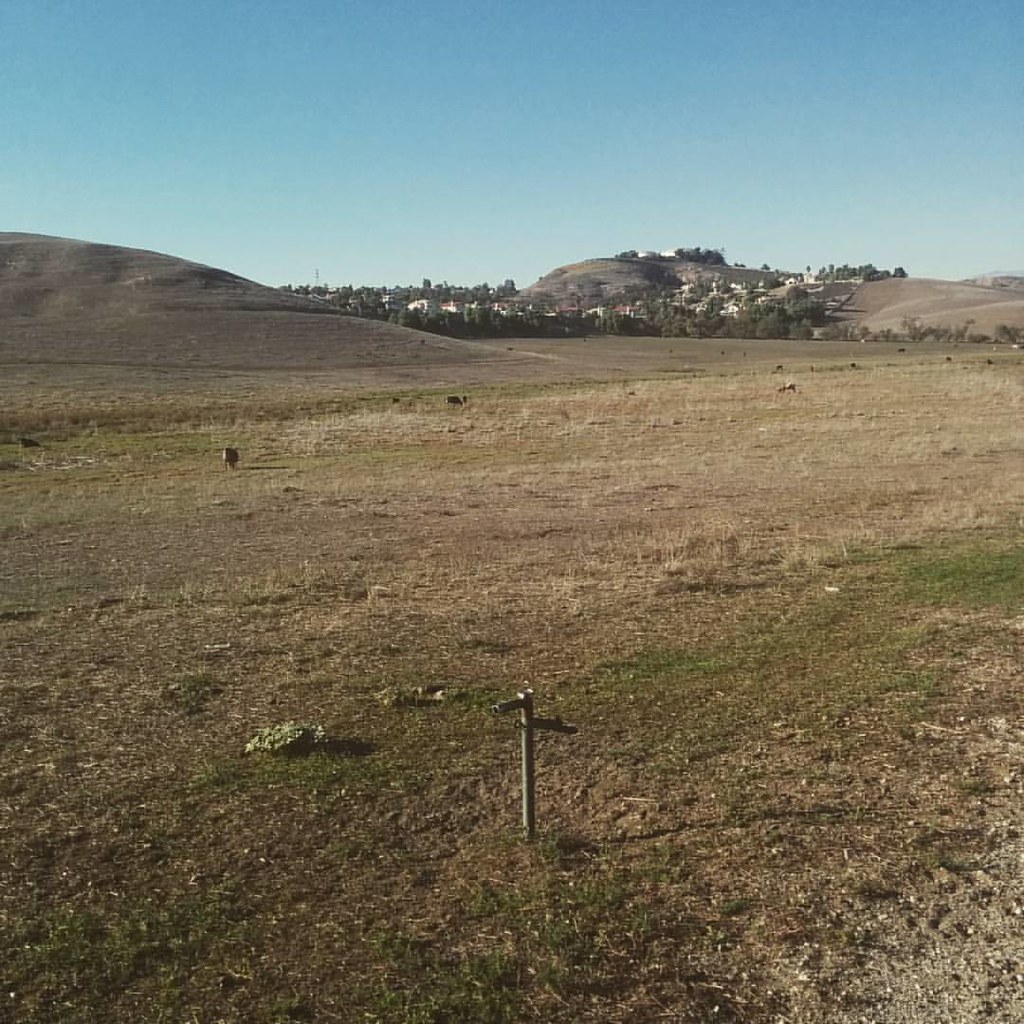
East Fence Line Trail is a short, easy out-and-back walk in Chino Hills Open Space, a city-managed open space area in California. The trail covers about 0.76 miles, and the high point is 1,173 feet, with a total climb of 163 feet over the course of the hike. The start sits at that high point, and the trail descends back to a low of 1,044 feet before returning to the top. Spring and late fall are the most comfortable times to go. Typical averages from a nearby weather station in Chino show April highs around 77°F and November highs around 76°F, while July and August average in the mid-90s. The trip takes about half an hour, and the trail is close to several other routes. Sidewinder Trail is about half a mile away, and Pinehurst Trail and Pomona Trail are each about 0.8 miles off. Chino Creek, a canoeing spot, is about 2.2 miles away.
- Sidewinder TrailHiking0.5 mi
- Pinehurst TrailHiking0.8 mi
- Pomona TrailHiking0.8 mi
- Bane Ridge TrailHiking0.9 mi
- Aliso Canyon TrailHiking1.2 mi
- Butterfield Run TrailHiking1.5 mi
- Slaughter Canyon TrailHiking1.6 mi
- Chino CreekCanoeing2.2 mi
Source: Roamze catalog (indexable pages within 10 miles, PostGIS distance)
 Oak Ridge Foot PathHiking · ~5 min drivePhoto: Arnie Kim, CC BY 2.0 (via Flickr)
 Scully Hill TrailHiking · ~8 min drivePhoto: waterarchives, CC BY-SA 2.0 (via Flickr)
- Scully RIdge TrailHiking · ~5 min drive
- North Ridge TrailHiking · ~8 min drive
 Hidden Trails LoopHiking · ~7 min drivePhoto: Henrique Vicente, Public Domain Dedication (CC0) (via Flickr)
- Pomona TrailHiking · ~1 min drive
- South Ridge TrailHiking · ~6 min drive
- Sidewinder TrailHiking · Next door
- East Fence Line TrailHiking · ~2 min drive
- Pinehurst TrailHiking · ~1 min drive
Best time to visit East Fence Line Trail
Best months: October–May. Best months have typical highs of 55–85 °F, lows of 30 °F or warmer (32 °F where the station doesn't record snow), at most one snowy day and no more than 12 wet days.
Jan
70° / 42°
5 wet
Feb
70° / 43°
6 wet
Mar
72° / 46°
5 wet
Apr
77° / 49°
3 wet
May
81° / 54°
2 wet
Jun
88° / 58°
0 wet
Jul
94° / 63°
0 wet
Aug
96° / 63°
0 wet
Sep
93° / 60°
1 wet
Oct
85° / 53°
3 wet
Nov
76° / 45°
4 wet
Dec
69° / 40°
5 wet
Typical high / low (°F) and days with rain or snow, 1991–2020. Measured at Chino Ap, CA, 4.2 mi away at 650 ft. The station sits about 500 ft lower than this place, so expect it a little cooler here. This station doesn't record snowfall. Source: NOAA NCEI U.S. Climate Normals 1991–2020.
Map and trail data © OpenStreetMap contributors
