Devil's Hole Trail
 Photo: albategnius, CC BY-SA 2.0 (via Flickr)
- 0.6 mi
- round trip
- 687 ft
- climb
- 1,867 ft
- high point
- Out and back
- route
- Feb–Nov
- best months
Devil's Hole Trail is an easy, short out-and-back hike in Las Trampas Wilderness Regional Preserve, a regional agency-managed unit in California. The trail is about 1.2 miles long and gains about 687 feet of elevation over the round trip, with a high point of 1,867 feet and a low of 1,567 feet. The climb is rolling, and the steepest part comes early, at about 0.12 miles from the start, with a grade of 16 percent. The most comfortable time to go is late spring or early fall. Typical averages from the nearby Mt Diablo Junction weather station show May highs around 68°F and October highs around 72°F, with only a few wet days in each month. Winter is cooler and wetter, with highs in the mid-50s and about 11 wet days a month. The hike takes about half an hour. Sycamore Trail is about 0.6 miles away, and Elderberry Trail and Water Tank Trail are each about 0.7 miles away. For climbing, Mammoth Rock is about 6.4 miles off.
Local outfitters
- Point Reyes Outdoors45 mi away
Not on Roamze yet. Their page has how to reach them.
 Sycamore TrailHikingPhoto: albategnius, CC BY-SA 2.0 (via Flickr)0.6 mi
 Elderberry TrailHikingPhoto: albategnius, CC BY-SA 2.0 (via Flickr)0.7 mi
 Water Tank TrailHikingPhoto: Pussreboots, CC BY 2.0 (via Flickr)0.7 mi
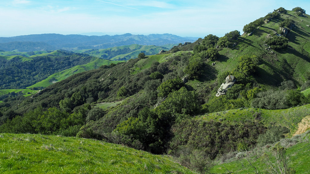 Ridge View TrailHikingPhoto: albategnius, CC BY-SA 2.0 (via Flickr)0.7 mi
 Mammoth RockRock climbingPhoto: @bastique, CC BY-SA 2.0 (via Flickr)6.4 mi
- The Rock of AgesRock climbingPhoto: @bastique, CC BY-SA 2.0 (via Flickr)6.5 mi
 Pine CanyonRock climbingPhoto: MARELBU, CC BY 3.0 (via Wikimedia Commons)6.5 mi
- Flintstone RockRock climbingPhoto: @bastique, CC BY-SA 2.0 (via Flickr)6.5 mi
Source: Roamze catalog (indexable pages within 10 miles, PostGIS distance)
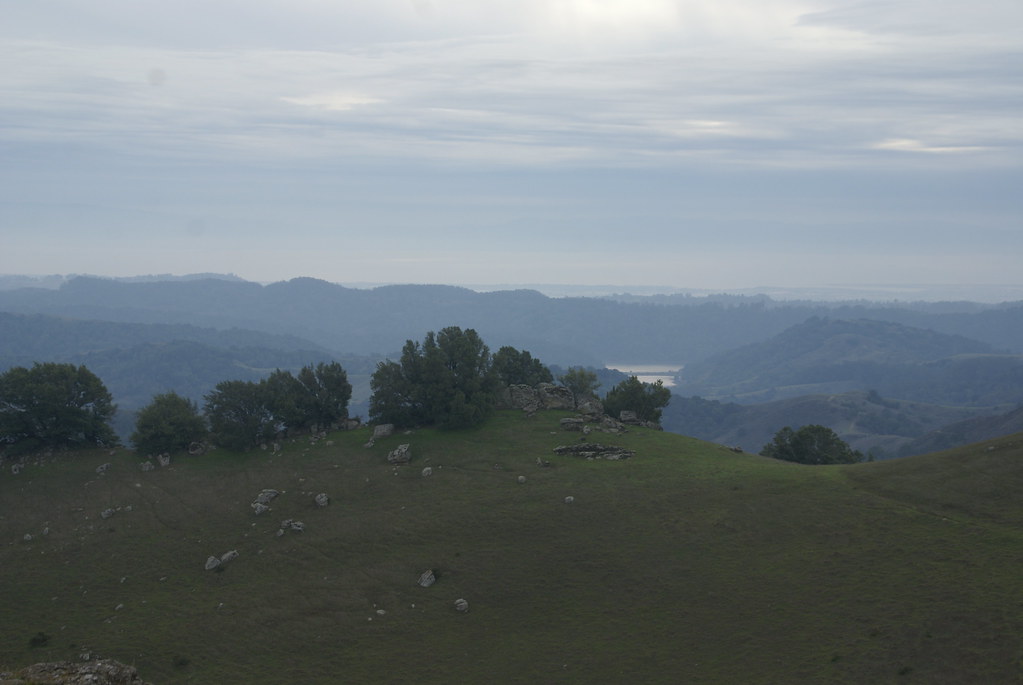 Devil's Hole TrailHiking · Next doorPhoto: dbaron, CC BY-SA 2.0 (via Flickr)
- Water Tank TrailHiking · ~1 min drivePhoto: Pussreboots, CC BY 2.0 (via Flickr)
 Rocky Ridge Loop TrailHiking · ~3 min drivePhoto: dbaron, CC BY-SA 2.0 (via Flickr)
- Sycamore TrailHiking · ~1 min drivePhoto: albategnius, CC BY-SA 2.0 (via Flickr)
- Ridge View TrailHiking · ~1 min drivePhoto: albategnius, CC BY-SA 2.0 (via Flickr)
 Madrone TrailHiking · ~5 min drivePhoto: regexman, CC BY 2.0 (via Flickr)
- Elderberry TrailHiking · ~1 min drivePhoto: albategnius, CC BY-SA 2.0 (via Flickr)
- EBMUD/EBRPD Connector TrailHiking · ~1 min drivePhoto: albategnius, CC BY-SA 2.0 (via Flickr)
- Ramage TrailHiking · ~6 min drive
 Ramage Peak TrailHiking · ~3 min drivePhoto: regexman, CC BY 2.0 (via Flickr)
Best time to visit Devil's Hole Trail
Best months: February–November. Best months have typical highs of 55–85 °F, lows of 30 °F or warmer (32 °F where the station doesn't record snow), at most one snowy day and no more than 12 wet days.
Jan
54° / 42°
11 wet
Feb
55° / 42°
11 wet
Mar
58° / 43°
10 wet
Apr
62° / 44°
7 wet
May
68° / 49°
4 wet
Jun
76° / 55°
1 wet
Jul
82° / 62°
1 wet
Aug
83° / 61°
0 wet
Sep
80° / 60°
1 wet
Oct
72° / 54°
4 wet
Nov
60° / 46°
7 wet
Dec
53° / 41°
11 wet
Typical high / low (°F) and days with rain or snow, 1991–2020. Measured at Mt Diablo Junction, CA, 8.4 mi away at 2,170 ft. Source: NOAA NCEI U.S. Climate Normals 1991–2020.
Map and trail data © OpenStreetMap contributors
