Loading…

Free — you'll pick up right here.
Watch this trail
Sign up to watch it — saving subscribes you to gate, closure and report changes.
California
1,434 ft
Gain
We won't guess. Here is exactly what we do and don't know.
What we do know
Inside Channel Islands National Park
National Park unit boundary is mapped — agency alerts for it feed this page automatically.
Boundary data
What's missing
No access route mapped
We don't yet know which road reaches this trailhead, so we can't tell you if it's gated.
Nobody's filed a report here yet — be the first.
Why you'll love it
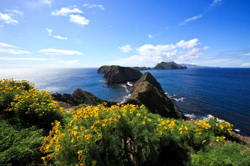
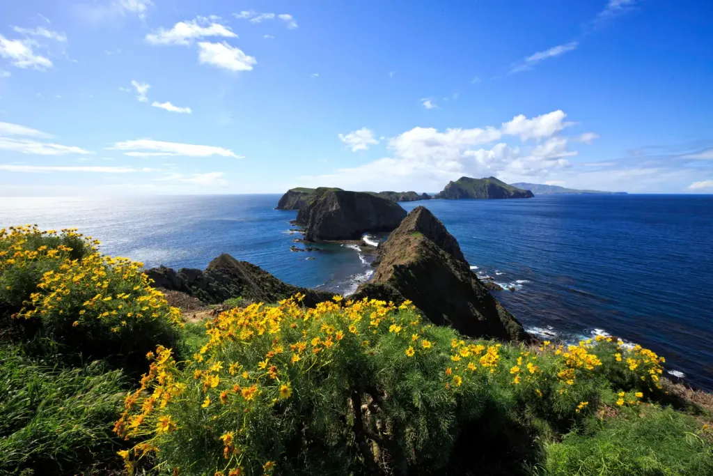
Del Norte Trail Overlook Hike
AI-suggested draft · review before you go
No permit or access details on file for this trail — check with the local land manager before you go.
<p>Hike 1 mile up the Navy Road to the Del Norte Trail junction and then follow the trail for .25 miles to an overlook of the northeast coast.<br /> <br /> <em>During winter and spring, visitors need to be prepared for a wet creek crossing at Canada del Puerto in Prisoner's Harbor. Water may be fast moving and up to 2 feet deep.</em><br /> <br /> <strong>Distance:</strong> 3 miles (round trip from Prisoner's Harbor)<br /> <strong>Difficulty:</strong> Moderate</p>
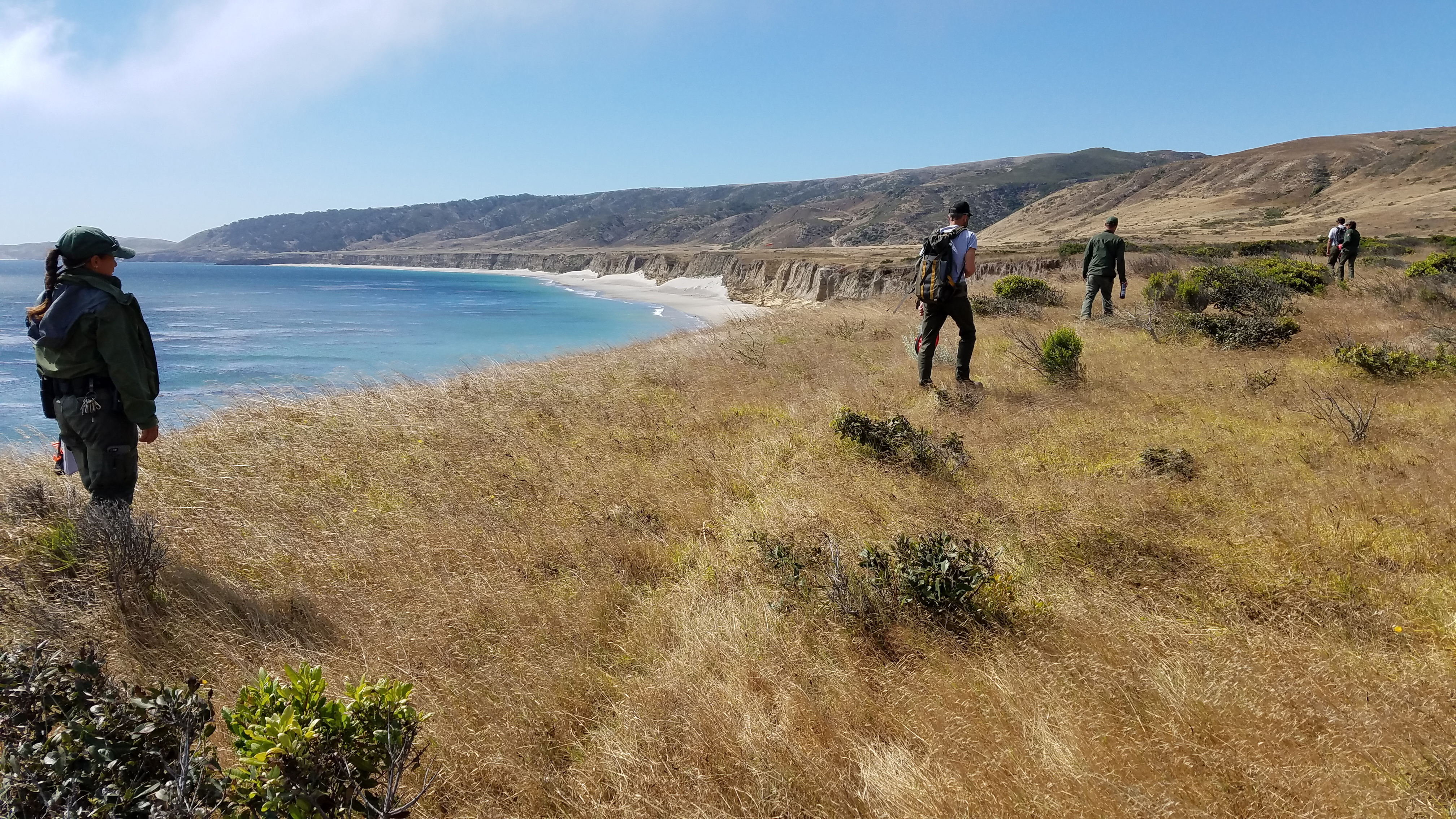
Becher's Bay Coastal Trail Hike
~37 min drive
<p>A flat walk along coastal bluffs with great views. Connects with the coastal road near the airstrip with access to Water Canyon Campground, Water Canyon Beach, and other destinations. Be aware of planes as the airstrip is active.<br /> <br /> <strong>Distance:</strong> 2 mi…
San Ysidro
~51 min drive
Strenuous 8.94-mile climb with 3,772 ft elevation gain near San Ysidro.
Mcmenemy
~52 min drive
Moderate 3.5-mile hike with 1,055 ft elevation gain near McMenemy.
Murietta
~1h 3m drive
Easy 1.86-mile trail with minimal elevation gain near Murrieta.
Circle X Ranch
~1h 13m drive
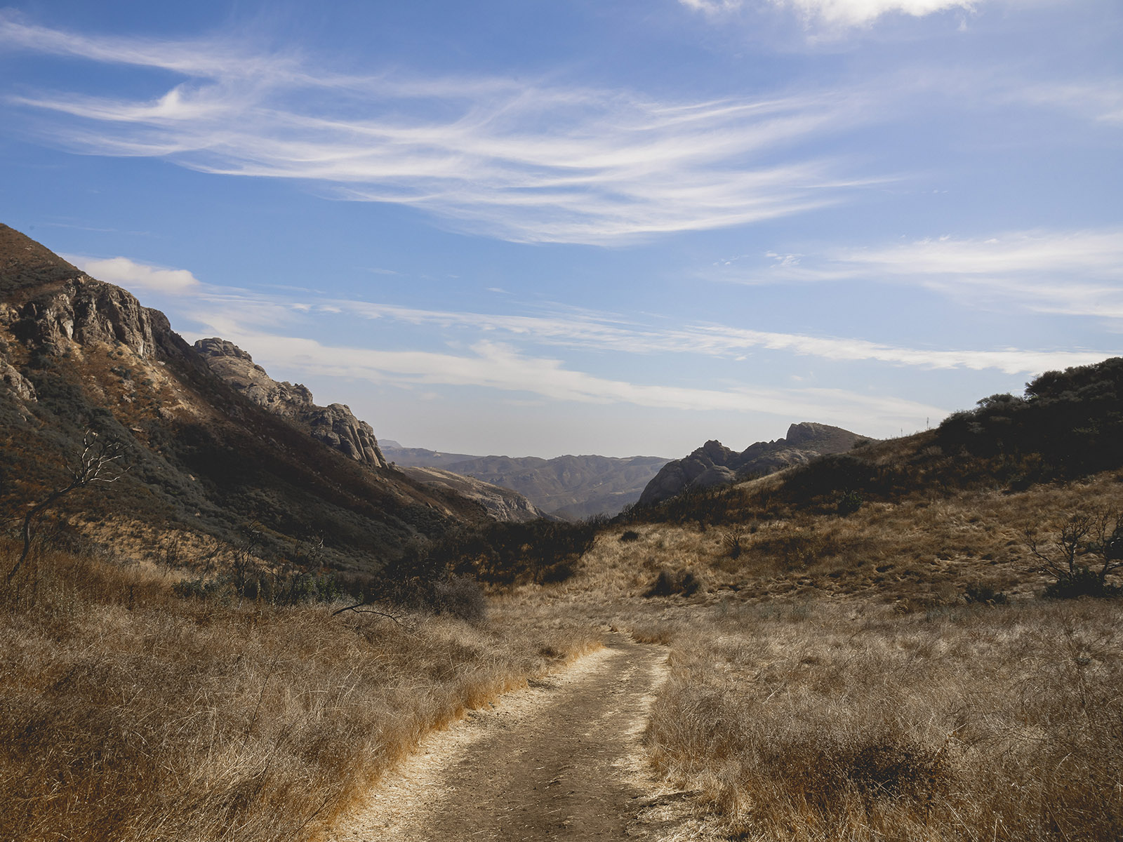
<p>Tucked in the canyons above Malibu and nestled below majestic Boney Mountain, you will find Circle X Ranch. This former Boy Scout camp offers many opportunities for exploration and leisure.</p> <p>Hike one of the many trails that wind through this rare coastal Mediterranean…
Cold Spring
~52 min drive
Challenging 18.85-mile backcountry trek with 3,471 ft elevation gain.
Rattlesnake
~53 min drive
Steep 4.8-mile climb with 2,000 ft gain in Rattlesnake area.
Caliente
~1h 4m drive
Short, easy hike near Caliente with minimal elevation gain.
Arroyo Sequit
~1h 17m drive
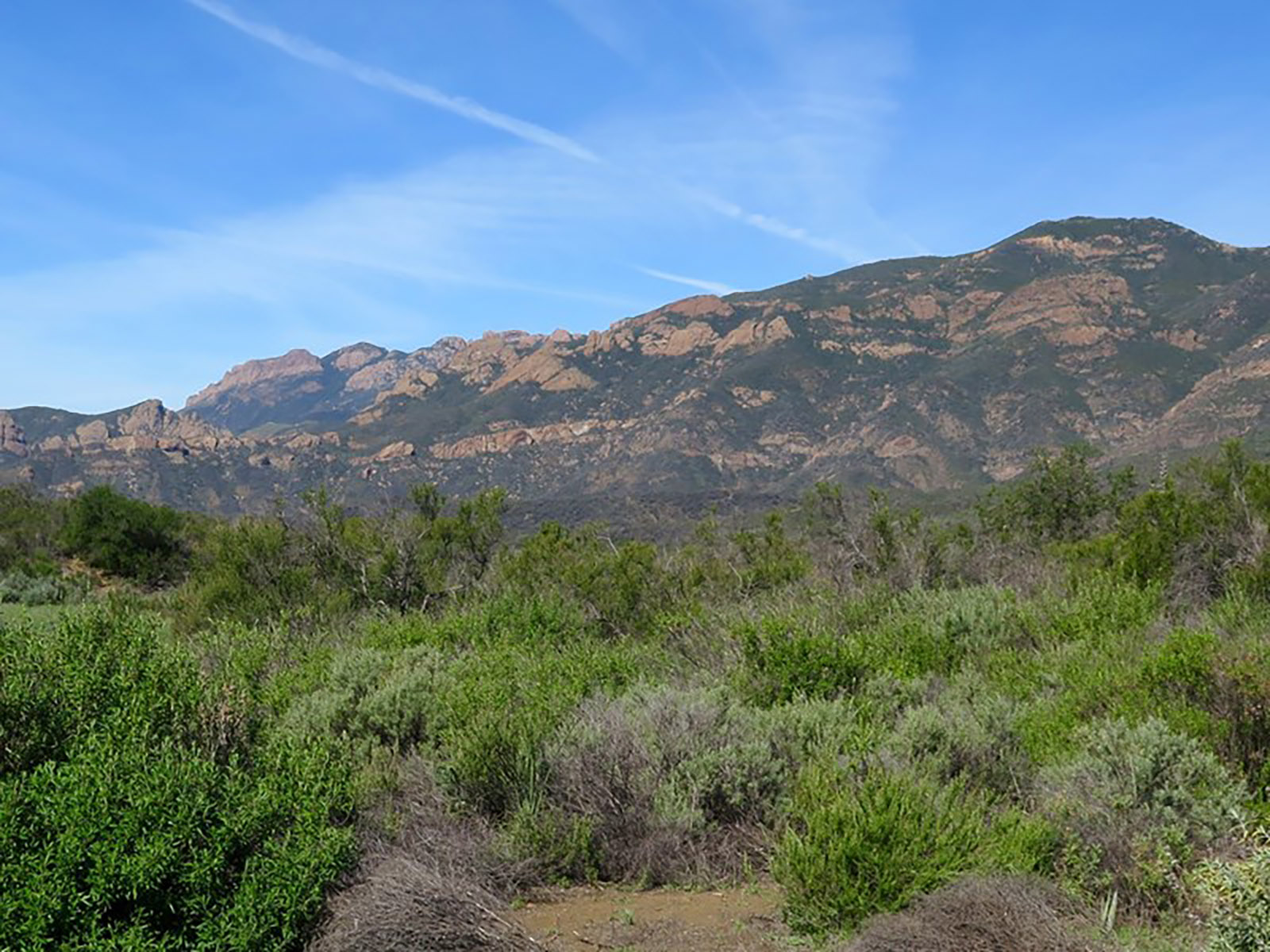
Accessed from Mulholland Highway, Arroyo Sequit features an intermittent stream, a loop trail, and meadows that are blanketed with wildflowers in the Spring. Arroyo Sequit is a small site that may be easy to overlook, but provides for intimate, relaxing strolls. It is also a f…
Jesusita
~53 min drive
Moderate 8.6-mile Santa Barbara foothills hike with 1,894 ft elevation gain.