Dead End Trail
- 0.5 mi
- round trip
- 461 ft
- climb
- 6,563 ft
- high point
- Out and back
- route
Is Dead End Trail open right now?
Closure in the area
There's a closure order in Sequoia National Forest. It doesn't name Dead End Trail, so check the source for the area it covers (2 listed).
Tule River Glass Container Prohibition Area
Agency closure covering Sequoia National Forest · Order 0513-26-02 · USFS · Sequoia National Forest
Trail of 100 Giants Boardwalk and Area Closure
Agency closure covering Sequoia National Forest · Order 0513-26-03 · USFS · Sequoia National Forest
PUBLIC NUDITY PROHIBITION - Sequoia National Forest
Agency alert covering Sequoia National Forest · Order 0513-26-06 · USFS · Sequoia National Forest
Chico Flat Dispersed Camping Area Prohibition 26-27
Agency alert covering Sequoia National Forest · Order 0513-26-09 · USFS · Sequoia National Forest
Wildlife Alert - BEARS
Agency alert covering Sequoia National Forest · USFS · Sequoia National Forest
As of · Source: USFS · Sequoia National Forest. Agencies don't list every closure — check before you go.
Dead End Trail is a short, easy out-and-back hike in the Kern River Ranger District of Sequoia National Forest in California, managed by the Forest Service. The trail is about a mile long, with a total elevation gain of about 460 feet, and it starts at roughly 6,200 feet, reaching a high point of about 6,560 feet before returning to the trailhead. The climb is front-loaded, with the steepest stretch coming about a third of the way in, where the grade reaches about 21 percent. That makes the first part of the trail the most challenging, and the rest of the route is gentler as you descend back to the start. The trail sits close to two other hikes, Black Mountain Saddle Trail and Sand Shed Trail, both about 0.2 miles away. Cedar Creek campground is about 1.9 miles off, and Lake Isabella, a lake fishing spot, is about 7.5 miles away.
- Black Mountain Saddle TrailHiking0.2 mi
- Sand Shed TrailHiking0.2 mi
- Cedar CreekCamping1.9 mi
- Live Oak SouthCamping5.7 mi
- Central BoulderRock climbing6.4 mi
- Campground 61Rock climbing6.5 mi
- Kern River Ranger DistrictRiver fishing7.2 mi
- Lake IsabellaLake fishing7.5 mi
Source: Roamze catalog (indexable pages within 10 miles, PostGIS distance)
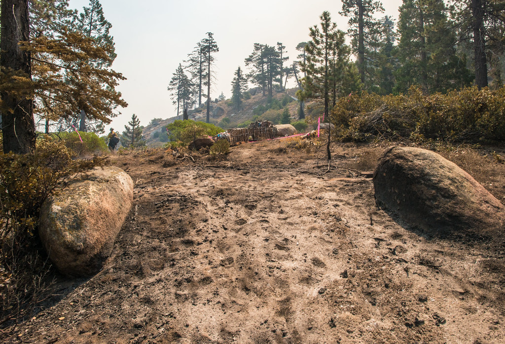 BLACK MOUNTAIN SADDLEHiking · ~2 min drivePhoto: USDAgov, Public Domain Mark (via Flickr)
- Black Mountain TrailHiking · ~2 min drivePhoto: USDAgov, Public Domain Mark (via Flickr)
 Potato PatchHiking · ~16 min drivePhoto: anon4809, Public Domain Dedication (CC0) (via Flickr)
 Remington Ridge TrailHiking · ~19 min drivePhoto: daveynin, CC BY 2.0 (via Flickr)
 Coso Mine LoopHiking · ~11 min drivePhoto: bahniuk, CC BY 3.0 (via Wikimedia Commons)
- Vista Del LagoHiking · ~11 min drivePhoto: bahniuk, CC BY 3.0 (via Wikimedia Commons)
- Just Outstanding TrailHiking · ~4 min drive
- Cannell TrailHiking · ~20 min drive
 Cattle RunHiking · ~12 min drivePhoto: USDAgov, Public Domain Mark (via Flickr)
 Hobo FishingHiking · ~19 min drivePhoto: waterarchives, CC BY-SA 2.0 (via Flickr)
Map and trail data © OpenStreetMap contributors
