Cuesta Trail
- 1.1 mi
- round trip
- 1,796 ft
- climb
- 1,904 ft
- high point
- Out and back
- route
- Feb–Nov
- best months
Cuesta Trail is a moderate out-and-back hike of about 2 miles in Las Trampas Wilderness Regional Preserve in California, on Regional Agency Land. The route climbs roughly 1,800 feet from its start at about 1,547 feet to a high point of 1,904 feet, and the steepest stretch comes near mile 0.9 with a grade of about 21 percent. The trail makes a natural pairing with other short routes in the preserve. Ridge View Trail, Elderberry Trail and Rocky Ridge View Trail (East Bay Regional Park District) all sit within about half a mile. Climbers can find Mammoth Rock roughly 6 miles away.
Local outfitters
- Point Reyes Outdoors45 mi away
Not on Roamze yet. Their page has how to reach them.
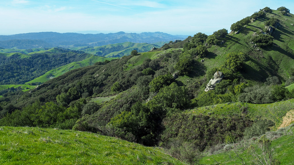 Ridge View TrailHikingPhoto: albategnius, CC BY-SA 2.0 (via Flickr)0.4 mi
 Elderberry TrailHikingPhoto: albategnius, CC BY-SA 2.0 (via Flickr)0.4 mi
 Rocky Ridge View Trail (East Bay Regional Park District)HikingPhoto: dbaron, CC BY-SA 2.0 (via Flickr)0.4 mi
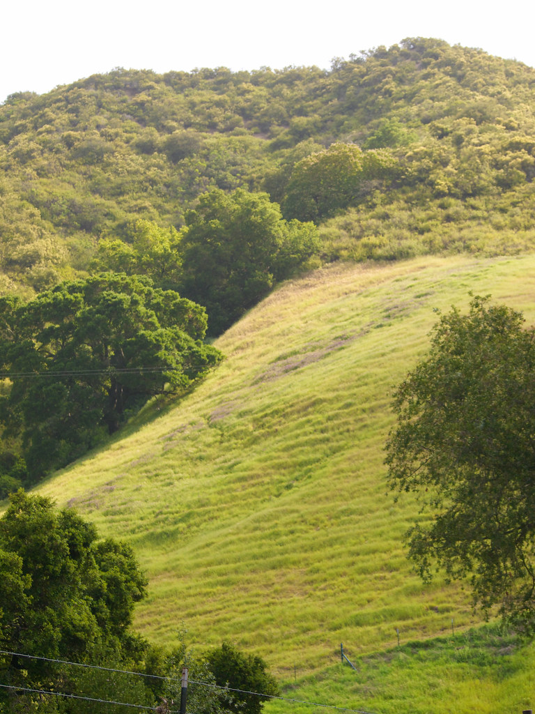 Chamise TrailHikingPhoto: Pussreboots, CC BY 2.0 (via Flickr)0.5 mi
 Mammoth RockRock climbingPhoto: @bastique, CC BY-SA 2.0 (via Flickr)5.9 mi
 Pine CanyonRock climbingPhoto: MARELBU, CC BY 3.0 (via Wikimedia Commons)6 mi
- Flintstone RockRock climbingPhoto: @bastique, CC BY-SA 2.0 (via Flickr)6 mi
- Walnut CreekCanoeing9.5 mi
Source: Roamze catalog (indexable pages within 10 miles, PostGIS distance)
- Cuesta TrailHiking · Next doorPhoto: dbaron, CC BY-SA 2.0 (via Flickr)
- Elderberry TrailHiking · Next doorPhoto: albategnius, CC BY-SA 2.0 (via Flickr)
- Rocky Ridge Loop TrailHiking · Next doorPhoto: dbaron, CC BY-SA 2.0 (via Flickr)
- Ridge View TrailHiking · Next doorPhoto: albategnius, CC BY-SA 2.0 (via Flickr)
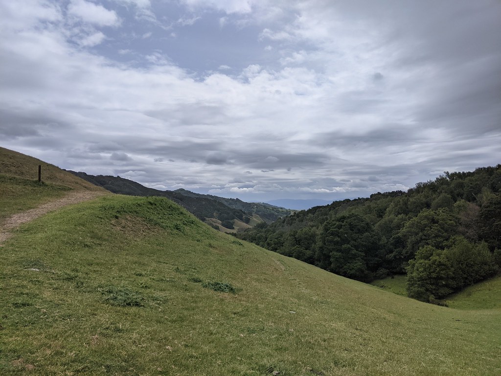 Corduroy Hills TrailHiking · ~1 min drivePhoto: vonguard, CC BY-SA 2.0 (via Flickr)
 Madrone TrailHiking · ~3 min drivePhoto: regexman, CC BY 2.0 (via Flickr)
 Bollinger Creek Loop TrailHiking · Next doorPhoto: Pussreboots, CC BY 2.0 (via Flickr)
 Rocky Ridge TrailHiking · ~2 min drivePhoto: strangebiology, CC BY 2.0 (via Flickr)
- Rocky Ridge View Trail (East Bay Regional Park District)Hiking · Next doorPhoto: dbaron, CC BY-SA 2.0 (via Flickr)
- Las Trampas Ridge & Calaveras Ridge TrailHiking · ~2 min drivePhoto: vonguard, CC BY-SA 2.0 (via Flickr)
Best time to visit Cuesta Trail
Best months: February–November. Best months have typical highs of 55–85 °F, lows of 30 °F or warmer (32 °F where the station doesn't record snow), at most one snowy day and no more than 12 wet days.
Jan
54° / 42°
11 wet
Feb
55° / 42°
11 wet
Mar
58° / 43°
10 wet
Apr
62° / 44°
7 wet
May
68° / 49°
4 wet
Jun
76° / 55°
1 wet
Jul
82° / 62°
1 wet
Aug
83° / 61°
0 wet
Sep
80° / 60°
1 wet
Oct
72° / 54°
4 wet
Nov
60° / 46°
7 wet
Dec
53° / 41°
11 wet
Typical high / low (°F) and days with rain or snow, 1991–2020. Measured at Mt Diablo Junction, CA, 8.2 mi away at 2,170 ft. Source: NOAA NCEI U.S. Climate Normals 1991–2020.

Map and trail data © OpenStreetMap contributors
