CSUDH Walking Trail
- 0.4 mi
- round trip
- 14 ft
- climb
- 37 ft
- high point
- Out and back
- route
- Jan–Dec
- best months
The CSUDH Walking Trail is a short, easy walk in California, about 0.4 miles long with a total elevation gain of 14 feet. The route is an out-and-back, and it runs on flat ground from a start elevation of about 33 feet to a high point of about 37 feet, with no steep sections to worry about. The trail sits roughly 2 miles from the town of Hermosillo, and the trip takes about half an hour. Weather is comfortable year-round. Typical averages from a nearby weather station at Hawthorne show highs in the low 70s and lows around 60 to 64 degrees from May through September, with little to no rain in the warmest months. For more walking, Compton Creek Walking Path is about 4 miles away and Dominguez Gap Trail is about 4 miles away. Wiseburn Walking Path and Stein-Hale Nature Trail are each a little over 7 miles off.
 Compton Creek Walking PathHikingPhoto: lavocado@sbcglobal.net, CC BY 2.0 (via Flickr)3.8 mi
- Dominguez Gap TrailHiking4 mi
- Wiseburn Walking PathHiking6.8 mi
- Boundary TrailHiking6.8 mi
- Stein-Hale Nature TrailHiking7.4 mi
- Bellflower Bike PathHiking7.4 mi
- Valmonte TrailHiking7.8 mi
 John's Canyon TrailHikingPhoto: InSapphoWeTrust from Los Angeles, California, USA, CC BY-SA 2.0 (via Wikimedia Commons)7.9 mi
Source: Roamze catalog (indexable pages within 10 miles, PostGIS distance)
- Compton Creek Walking PathHiking · ~7 min drivePhoto: lavocado@sbcglobal.net, CC BY 2.0 (via Flickr)
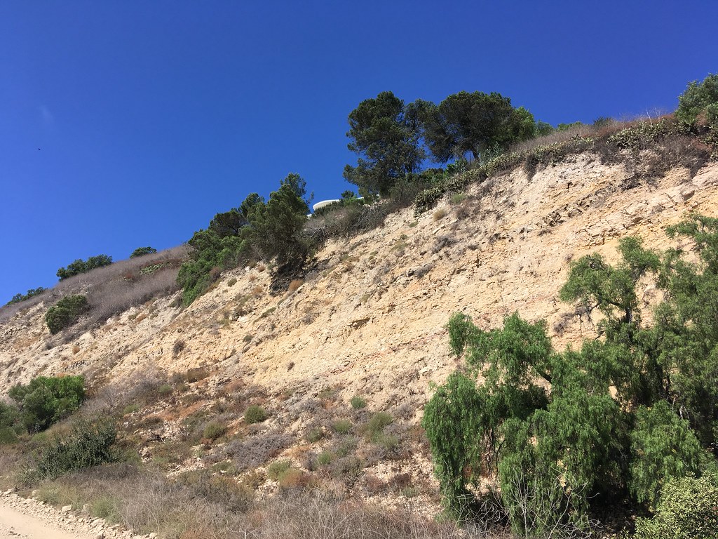 Quarterhorse TrailHiking · ~15 min drivePhoto: sergei.gussev, CC BY 2.0 (via Flickr)
- John's Canyon TrailHiking · ~14 min drivePhoto: InSapphoWeTrust from Los Angeles, California, USA, CC BY-SA 2.0 (via Wikimedia Commons)
 Apsley Trail. aka Palos Verdes Loop Trail Segments 74–77Hiking · ~16 min drivePhoto: sergei.gussev, CC BY 2.0 (via Flickr)
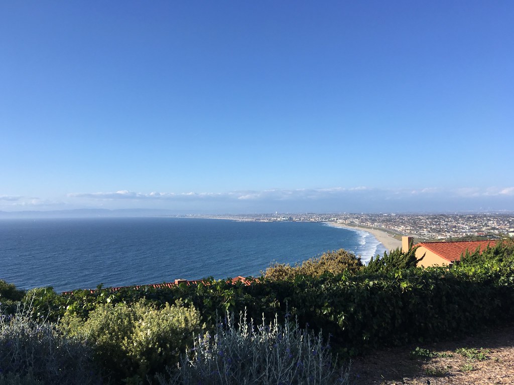 Olmsted TrailHiking · ~14 min drivePhoto: sergei.gussev, CC BY 2.0 (via Flickr)
 Donor One TrailHiking · ~15 min drivePhoto: sergei.gussev, CC BY 2.0 (via Flickr)
 Ishibashi TrailHiking · ~16 min drivePhoto: sergei.gussev, CC BY 2.0 (via Flickr)
 Rim TrailHiking · ~16 min drivePhoto: sergei.gussev, CC BY 2.0 (via Flickr)
- Fire Station TrailHiking · ~16 min drivePhoto: sergei.gussev, CC BY 2.0 (via Flickr)
- Grapevine TrailHiking · ~16 min drivePhoto: sergei.gussev, CC BY 2.0 (via Flickr)
Also worth it near here
Best time to visit CSUDH Walking Trail
Best months: Year-round. Best months have typical highs of 55–85 °F, lows of 30 °F or warmer (32 °F where the station doesn't record snow), at most one snowy day and no more than 12 wet days.
Jan
67° / 49°
7 wet
Feb
67° / 51°
7 wet
Mar
68° / 53°
5 wet
Apr
70° / 55°
3 wet
May
71° / 58°
1 wet
Jun
73° / 61°
0 wet
Jul
77° / 65°
0 wet
Aug
79° / 65°
0 wet
Sep
79° / 64°
1 wet
Oct
76° / 60°
2 wet
Nov
72° / 54°
5 wet
Dec
66° / 49°
6 wet
Typical high / low (°F) and days with rain or snow, 1991–2020. Measured at Hawthorne Muni Ap, CA, 5.7 mi away at 63 ft. This station doesn't record snowfall. Source: NOAA NCEI U.S. Climate Normals 1991–2020.
Map and trail data © OpenStreetMap contributors
