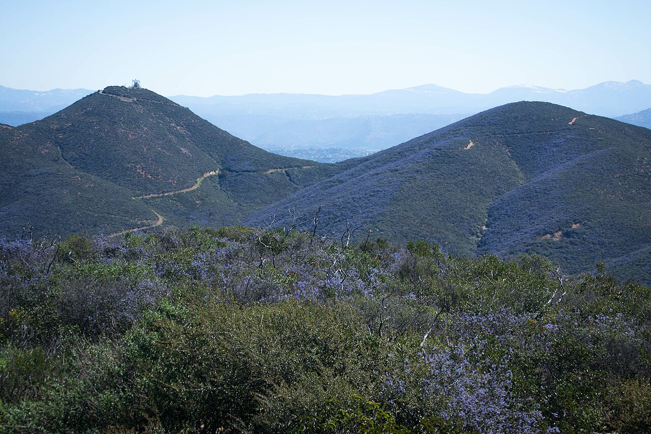
Group Camp Site
Campground
Campground · 2.1 mi from the trail
 Photo: Chris Hunkeler, CC BY-SA 2.0 (via Flickr)
Crest Trail is a short, easy hike on city-managed land within Daley Ranch in California, about 1.2 miles long and roughly 2.4 miles round trip. The trail is an out-and-back with a rolling climb, reaching a high point of 1,742 feet from a starting elevation of 1,695 feet. The total gain is 575 feet, and the steepest stretch comes at about 1.1 miles in, with a 14% grade. Spring and fall are the most comfortable times to go. Typical averages from a nearby weather station show April highs around 75°F and October highs around 83°F, while July and August average in the low 90s. The trail makes an easy pairing with other outings in the area. Cougar Ridge Trail is about 0.4 miles away, and Ninja Turtle Boulder, a climbing area, is about 0.5 miles off. Boulder Loop Trail and Jack Creek Meadow Loop Trail are both within a mile.
Group Camp Site
Campground
Elote
Mexican restaurant
 If it rainsAlan Islas, CC BY-SA 4.0 · Wikimedia Commons
Living-history museum in Vista, California
Places © OpenStreetMap contributors, Places © Overture Maps Foundation · Photos: Alan Islas, CC BY-SA 4.0 (commons)
More in FallbrookNot on Roamze yet. Their page has how to reach them.
Cougar Ridge TrailHikingPhoto: Chris Hunkeler, CC BY-SA 2.0 (via Flickr)0.4 mi Boulder Loop TrailHikingPhoto: miheco, CC BY-SA 2.0 (via Wikimedia Commons)0.7 mi
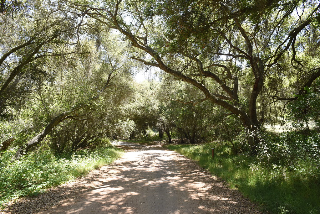 Jack Creek Meadow Loop TrailHikingPhoto: Chris Hunkeler, CC BY-SA 2.0 (via Flickr)0.8 miEngelmann Oak TrailHikingPhoto: miheco, CC BY-SA 2.0 (via Wikimedia Commons)0.8 mi
Source: Roamze catalog (indexable pages within 10 miles, PostGIS distance)
Cougar Ridge TrailHiking · Next doorPhoto: Chris Hunkeler, CC BY-SA 2.0 (via Flickr)Boulder Loop TrailHiking · ~1 min drivePhoto: miheco, CC BY-SA 2.0 (via Wikimedia Commons)Engelmann Oak TrailHiking · ~1 min drivePhoto: miheco, CC BY-SA 2.0 (via Wikimedia Commons)Jack Creek Meadow Loop TrailHiking · ~1 min drivePhoto: Chris Hunkeler, CC BY-SA 2.0 (via Flickr)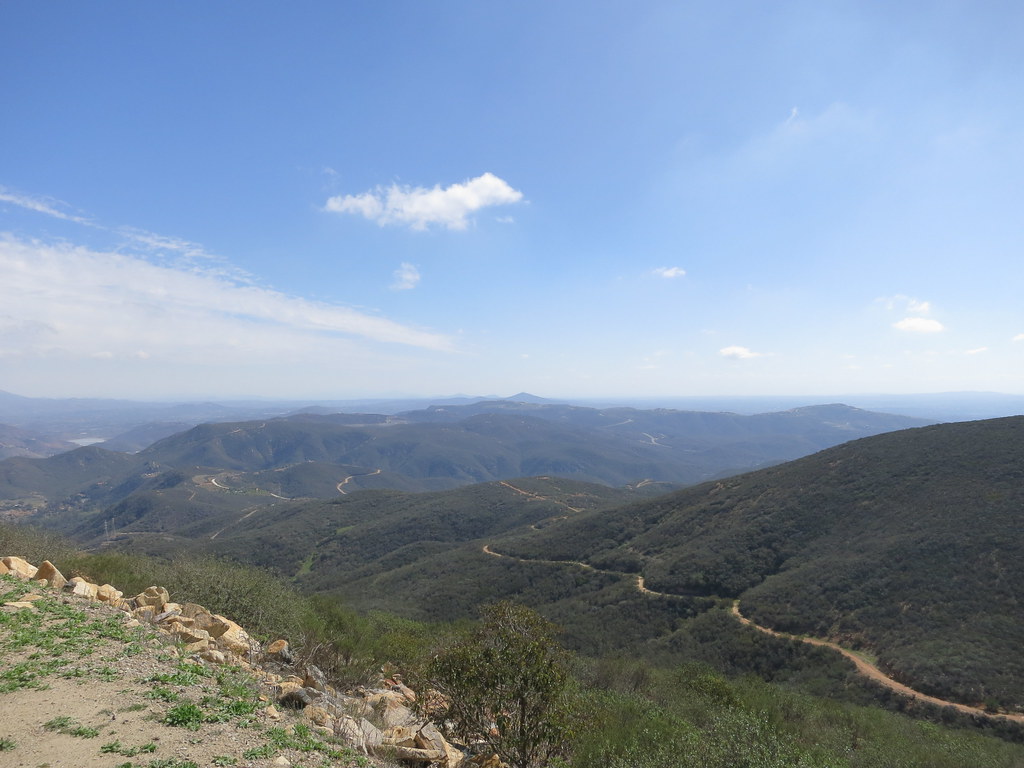 Cerro De Las Posas Ridgeline TrailHiking · ~14 min drivePhoto: Oleg., CC BY 2.0 (via Flickr)
 Rock Ridge TrailHiking · ~2 min drivePhoto: Chris Hunkeler, CC BY-SA 2.0 (via Flickr)
 Bernardo Mountain Summit TrailHiking · ~15 min drivePhoto: NapoliRoma, CC BY-SA 4.0 (via Wikimedia Commons)Burnt Mountain TrailHiking · ~2 min drivePhoto: miheco, CC BY-SA 2.0 (via Wikimedia Commons)
Best months: October–June. Best months have typical highs of 55–85 °F, lows of 30 °F or warmer (32 °F where the station doesn't record snow), at most one snowy day and no more than 12 wet days.
Jan
68° / 38°
Feb
67° / 39°
Mar
71° / 42°
Apr
75° / 43°
May
77° / 49°
Jun
84° / 53°
Jul
91° / 59°
Aug
93° / 59°
Sep
91° / 56°
Oct
83° / 47°
Nov
76° / 41°
Dec
67° / 37°
Typical high / low (°F) and days with rain or snow, 1991–2020. Measured at Valley Ctr 1n, CA, 2.7 mi away at 1,290 ft. This station doesn't record snowfall. Source: NOAA NCEI U.S. Climate Normals 1991–2020.
Map and trail data © OpenStreetMap contributors