Musch Hike-In Camp
Campground
Campground · 3.9 mi from the trail
Corbin Canyon Trail is a short, easy hike in California, about 1.3 miles from the town of Tarzana. The trail is an out-and-back route of about 1.5 miles, with a total climb of about 400 feet from the start at roughly 1,013 feet to a high point of about 1,111 feet. The climb is front-loaded, with the steepest stretch at about 0.36 miles in, and the trail returns to the starting elevation. Spring and fall are the most comfortable times to go. Typical averages from a nearby weather station in Woodland Hills show April highs around 78°F and October highs around 85°F, while July and August average in the mid-90s. Queen Victoria Trail starts just 0.1 mile away, and Natoma Ridge Trail and Winnetka Ridge Trail are both within about a mile. Climbers can find Headwaters, The about 5.7 miles off.
Musch Hike-In Camp
Campground
 If it rainsLos Angeles, CC BY-SA 4.0 · Wikimedia Commons
Leonis Adobe
Museum
Places © OpenStreetMap contributors · Photos: Los Angeles, CC BY-SA 4.0 (commons)
More in MoorparkSource: Roamze catalog (indexable pages within 10 miles, PostGIS distance)
 Serrania Ridge TrailHiking · ~3 min drivePhoto: Mad Peruvian Media, CC BY 2.0 (via Flickr)
 Dinosaur Egg TrailHiking · ~4 min drivePhoto: sachoben, CC BY-SA 2.0 (via Flickr)Mulholland Drive (unpaved)Hiking · ~4 min drivePhoto: sachoben, CC BY-SA 2.0 (via Flickr)Mulholland DriveHiking · ~3 min drivePhoto: Mad Peruvian Media, CC BY 2.0 (via Flickr)Gizmo TrailHiking · ~4 min drivePhoto: sachoben, CC BY-SA 2.0 (via Flickr)
 Rogers Road TrailHiking · ~6 min drivePhoto: timatymusic, CC BY 2.0 (via Flickr)Caballero Canyon TrailHiking · ~4 min drivePhoto: sachoben, CC BY-SA 2.0 (via Flickr)
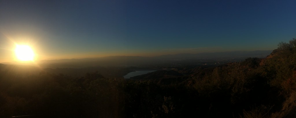 HWD Ridge TrailHiking · ~4 min drivePhoto: sergei.gussev, CC BY 2.0 (via Flickr)Temescal Ridge TrailHiking · ~8 min drivePhoto: timatymusic, CC BY 2.0 (via Flickr)Farmers Ridge TrailHiking · ~5 min drivePhoto: sergei.gussev, CC BY 2.0 (via Flickr)
Best months: October–May. Best months have typical highs of 55–85 °F, lows of 30 °F or warmer (32 °F where the station doesn't record snow), at most one snowy day and no more than 12 wet days.
Jan
70° / 43°
6 wet
Feb
70° / 44°
7 wet
Mar
74° / 46°
6 wet
Apr
78° / 48°
3 wet
May
82° / 53°
1 wet
Jun
89° / 57°
0 wet
Jul
95° / 61°
0 wet
Aug
97° / 61°
0 wet
Sep
94° / 59°
1 wet
Oct
85° / 53°
2 wet
Nov
76° / 46°
3 wet
Dec
69° / 42°
6 wet
Typical high / low (°F) and days with rain or snow, 1991–2020. Measured at Woodland Hills Pierce College, CA, 1.8 mi away at 790 ft. Source: NOAA NCEI U.S. Climate Normals 1991–2020.
Map and trail data © OpenStreetMap contributors


