Cooksy Trail
- 2.8 mi
- round trip
- 74 ft
- climb
- 110 ft
- high point
- Out and back
- route
- Nov–Mar
- best months
Cooksy Trail is a 5.6-mile out-and-back hike on Bureau of Land Management land within the El Centro Field Office in California. The route starts and ends at about 57 feet, with a total gain and loss of 74 feet, so the climb is flat and the trail is moderate in difficulty. It's a short hike, with the round trip about 5.6 miles and an estimated time of about two hours. The cooler months are the most comfortable time to go. Typical averages from a nearby weather station show highs around 69°F in January and 73°F in February, while summer highs climb into the 100s, peaking at 108°F in July and August. Valley of the Moon, a climbing area, sits about a mile away. San Felipe Creek, a canoeing spot, is about 2.2 miles off, and the Alluvial Trail and Barrel Springs Trail are both within about 3.2 miles.
Local outfitters
- Borrego Outfitters20 mi away
Not on Roamze yet. Their page has how to reach them.
- Valley of the MoonRock climbing1 mi
- San Felipe CreekCanoeing2.2 mi
- Alluvial TrailHiking2.9 mi
- Barrel Springs TrailHiking3.2 mi
- Commune TrailHiking3.6 mi
- Ocotillo TrailHiking3.6 mi
- De Anza TrailHiking3.7 mi
- Carrizo WashCanoeing8.6 mi
Source: Roamze catalog (indexable pages within 10 miles, PostGIS distance)
 Cross Over TrailHiking · ~7 min drivePhoto: RuggyBearLA, CC BY 2.0 (via Flickr)
 Textbook TrailHiking · ~11 min drivePhoto: RuggyBearLA, CC BY 2.0 (via Flickr)
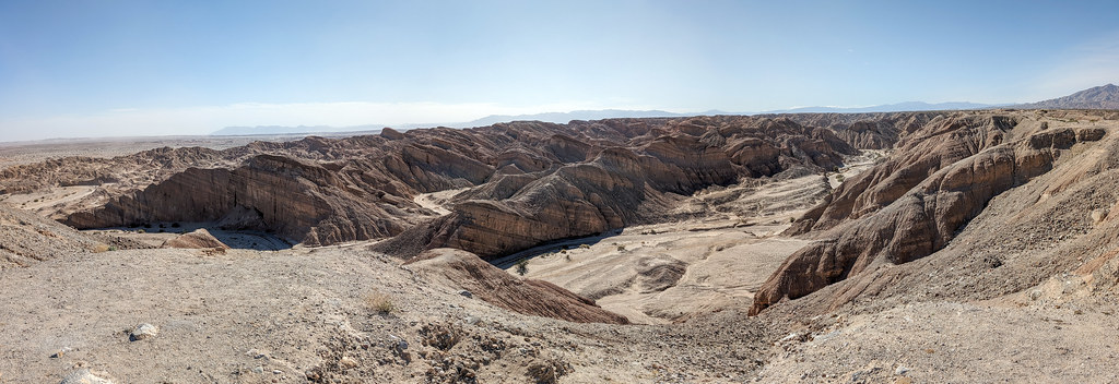 Gettysburg TrailHiking · ~17 min drivePhoto: RuggyBearLA, CC BY 2.0 (via Flickr)
 Villager Peak TrailHiking · ~24 min drivePhoto: npdoty, CC BY 2.0 (via Flickr)
 Cut Across TrailHiking · ~14 min drivePhoto: Chris Hunkeler, CC BY-SA 2.0 (via Flickr)
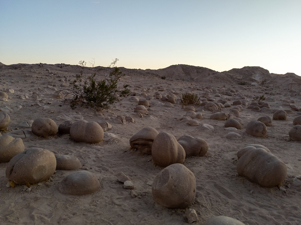 Lost Lizard TrailHiking · ~11 min drivePhoto: RuggyBearLA, CC BY 2.0 (via Flickr)
- Truckhaven TrailHiking · ~17 min drivePhoto: RuggyBearLA, CC BY 2.0 (via Flickr)
 Tectonic Gorge TrailHiking · ~17 min drivePhoto: RuggyBearLA, CC BY 2.0 (via Flickr)
 Goat TrailHiking · ~15 min drivePhoto: Anthony Albright, CC BY-SA 2.0 (via Flickr)
- Truckhaven TrailHiking · ~24 min drivePhoto: npdoty, CC BY 2.0 (via Flickr)
Best time to visit Cooksy Trail
Best months: November–March. Best months have typical highs of 55–85 °F, lows of 30 °F or warmer (32 °F where the station doesn't record snow), at most one snowy day and no more than 12 wet days.
Jan
69° / 49°
2 wet
Feb
73° / 52°
2 wet
Mar
80° / 58°
1 wet
Apr
86° / 61°
1 wet
May
94° / 69°
0 wet
Jun
102° / 75°
0 wet
Jul
108° / 83°
1 wet
Aug
108° / 83°
1 wet
Sep
102° / 78°
1 wet
Oct
91° / 68°
0 wet
Nov
79° / 56°
1 wet
Dec
68° / 47°
2 wet
Typical high / low (°F) and days with rain or snow, 1991–2020. Measured at Ocotillo Wells 2w, CA, 6.1 mi away at 390 ft. This station doesn't record snowfall. Source: NOAA NCEI U.S. Climate Normals 1991–2020.
Map and trail data © OpenStreetMap contributors
