Colfax Trail
 Photo: RuggyBearLA, CC BY 2.0 (via Flickr)
- 0.5 mi
- round trip
- 3 ft
- climb
- 1,929 ft
- high point
- Out and back
- route
- Oct–May
- best months
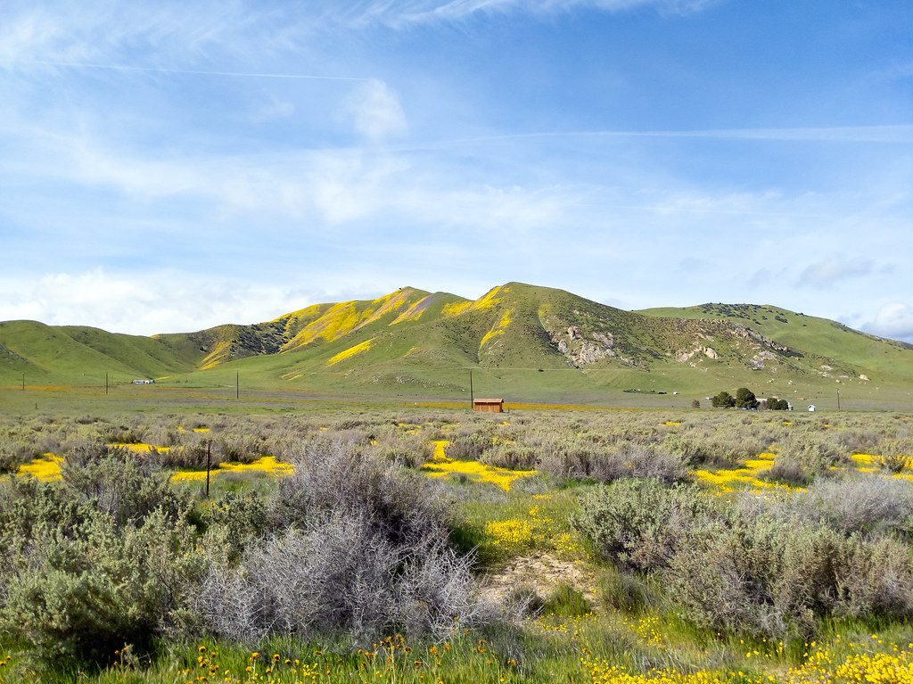
Colfax Trail is a short, easy out-and-back hike in California, about half a mile long and with a total elevation gain of just 3 feet. The route starts and ends at nearly the same elevation, around 1,928 feet, and the climb is so slight that it is essentially flat. The trail's high point is 1,929 feet, and the whole trip takes about half an hour. The nearest town is California Valley, about 4.5 miles away. The trail sits among a cluster of other short hikes, so it works well as a quick stop or the first leg of a longer outing in the area. Spring and fall are the most comfortable times to go. Typical averages from a nearby weather station show April highs around 71°F and October highs around 78°F, while July and August average in the mid-90s. Cole Trail is just 0.1 mile away, and Coffe Creek Trail is 0.3 mile off. Cresta Blanca Trail and Crest Park Trail are each about 0.6 mile from the start.
 Cole TrailHikingPhoto: RuggyBearLA, CC BY 2.0 (via Flickr)0.1 mi
- Coffe Creek TrailHikingPhoto: RuggyBearLA, CC BY 2.0 (via Flickr)0.3 mi
- Cresta Blanca TrailHikingPhoto: RuggyBearLA, CC BY 2.0 (via Flickr)0.6 mi
 Crest Park TrailHikingPhoto: Damian Gadal, CC BY 2.0 (via Wikimedia Commons)0.6 mi
- Encanto TrailHiking0.7 mi
- Crestline TrailHikingPhoto: RuggyBearLA, CC BY 2.0 (via Flickr)0.7 mi
 Caliente TrailHikingPhoto: Tom Hilton, CC BY 2.0 (via Flickr)0.8 mi
- Coalinga TrailHiking1.1 mi
Source: Roamze catalog (indexable pages within 10 miles, PostGIS distance)
- Cole TrailHiking · Next doorPhoto: RuggyBearLA, CC BY 2.0 (via Flickr)
- Carpenteria TrailHiking · ~4 min drive
- Coffe Creek TrailHiking · Next doorPhoto: RuggyBearLA, CC BY 2.0 (via Flickr)
- Cresta Blanca TrailHiking · ~1 min drivePhoto: RuggyBearLA, CC BY 2.0 (via Flickr)
- Crest Park TrailHiking · ~1 min drivePhoto: Damian Gadal, CC BY 2.0 (via Wikimedia Commons)
- Crestline TrailHiking · ~1 min drivePhoto: RuggyBearLA, CC BY 2.0 (via Flickr)
- Caliente TrailHiking · ~1 min drivePhoto: Tom Hilton, CC BY 2.0 (via Flickr)
 Keyston TrailHiking · ~2 min drivePhoto: Damian Gadal, CC BY 2.0 (via Wikimedia Commons)
- Dobbins TrailHiking · ~3 min drivePhoto: RuggyBearLA, CC BY 2.0 (via Flickr)
 Canoga Park TrailHiking · ~3 min drivePhoto: Tom Hilton, CC BY 2.0 (via Flickr)
Best time to visit Colfax Trail
Best months: October–May. Best months have typical highs of 55–85 °F, lows of 30 °F or warmer (32 °F where the station doesn't record snow), at most one snowy day and no more than 12 wet days.
Jan
61° / 33°
6 wet
Feb
62° / 34°
6 wet
Mar
66° / 37°
5 wet
Apr
71° / 40°
3 wet
May
80° / 45°
2 wet
Jun
88° / 51°
0 wet
Jul
95° / 57°
0 wet
Aug
94° / 56°
0 wet
Sep
89° / 52°
1 wet
Oct
78° / 43°
1 wet
Nov
68° / 36°
3 wet
Dec
61° / 32°
5 wet
Typical high / low (°F) and days with rain or snow, 1991–2020. Measured at New Cuyama Fire Stn, CA, 27.4 mi away at 2,160 ft. This station doesn't record snowfall. Source: NOAA NCEI U.S. Climate Normals 1991–2020.
Map and trail data © OpenStreetMap contributors
