Chapman Creek
- 5.2 mi
- round trip
- 592 ft
- climb
- 6,446 ft
- high point
- Out and back
- route
- Jun–Aug
- best months
Is Chapman Creek open right now?
Alert in the area
The Forest Service lists an alert for Tahoe National Forest.
Camping and Campfire Restrictions-Truckee and Sierraville Districts
Agency alert covering Tahoe National Forest · Order 17-25-05 · USFS · Tahoe National Forest
As of · Source: USFS · Tahoe National Forest. Agencies don't list every closure — check before you go.
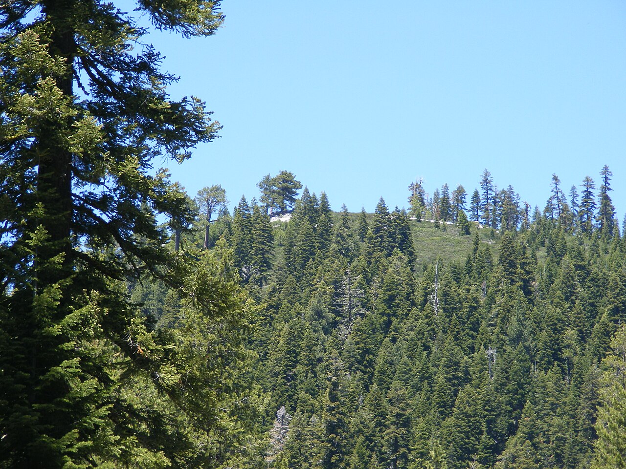
Chapman Creek is a moderate hike in the Yuba River Ranger District of California's Tahoe National Forest, on Forest Service land. The trail runs 5.2 miles as an out-and-back on a natural surface, and bikes are allowed. The route gains about 590 feet one way, climbing between roughly 5,860 and 6,450 feet, so most of the effort comes on the way out and the return is mostly downhill. Summer is the most comfortable season. July typically brings highs around 80°F and lows near 37°F, based on averages from the nearby Sagehen Creek weather station, which sits at a similar elevation. Chapman Creek Campground sits right by the trail, and Sierra campground is less than a mile away. Haskell Peak Trail is about 1.4 miles off, and the North Yuba River, a paddling spot, is roughly 7 miles away.
Local outfitters
- Alpenglow Expeditions34 mi away
Not on Roamze yet. Their page has how to reach them.
- Chapman Creek CgCamping0.1 mi
- SierraCamping0.8 mi
- Haskell Peak TrailHiking1.4 mi
- Haskell Peak SpurHiking1.5 mi
- Warm Up BoulderRock climbing5 mi
- Free For All ValleyRock climbing5.1 mi
- Sulphur CreekCanoeing5.2 mi
- North Yuba RiverCanoeing7.4 mi
Source: Roamze catalog (indexable pages within 10 miles, PostGIS distance)
 Sand Pond InterpretiveHiking · ~7 min drivePhoto: Ken Lund, CC BY-SA 2.0 (via Flickr)
 Haypress Creek TrailHiking · ~8 min drivePhoto: Ken Lund, CC BY-SA 2.0 (via Flickr)
 Pacific Crest TrailHiking · ~9 min drivePhoto: Ken Lund, CC BY-SA 2.0 (via Flickr)
 Tamarack ConnectionHiking · ~11 min drivePhoto: Ken Lund, CC BY-SA 2.0 (via Flickr)
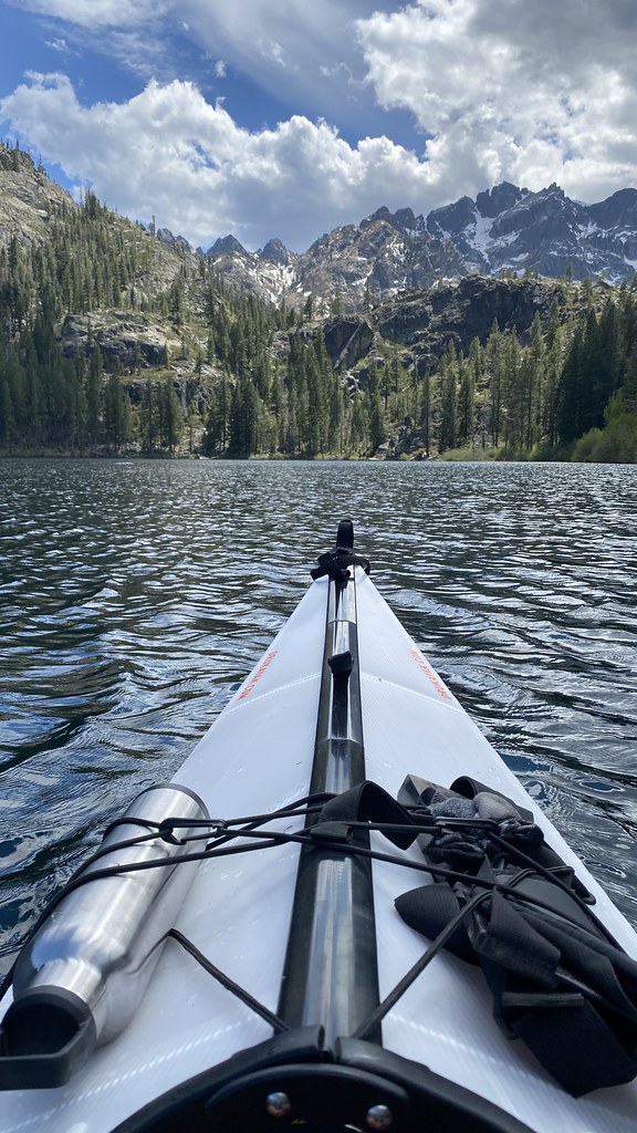 Sardine Lake OverlookHiking · ~9 min drivePhoto: lamblukas, CC BY 2.0 (via Flickr)
- Haypress CreekHiking · ~9 min drivePhoto: Ken Lund, CC BY-SA 2.0 (via Flickr)
- HASKELL PEAKHiking · ~5 min drive
 GOLD VALLEY RIM MC TRAILHiking · ~11 min drivePhoto: Ken Lund, CC BY-SA 2.0 (via Flickr)
- Wild Plum LoopHiking · ~9 min drivePhoto: Ken Lund, CC BY-SA 2.0 (via Flickr)
- Hilda Mine TrailHiking · ~9 min drivePhoto: Ken Lund, CC BY-SA 2.0 (via Flickr)
Also worth it near here
Best time to visit Chapman Creek
Best months: June–August. Best months have typical highs of 55–85 °F, lows of 30 °F or warmer (32 °F where the station doesn't record snow), at most one snowy day and no more than 12 wet days.
Jan
40° / 15°
Feb
41° / 15°
Mar
48° / 19°
Apr
53° / 22°
May
62° / 28°
Jun
72° / 32°
Jul
80° / 37°
Aug
79° / 35°
Sep
73° / 31°
Oct
61° / 24°
Nov
49° / 20°
Dec
39° / 14°
Typical high / low (°F) and days with rain or snow, 1991–2020. Measured at Sagehen Creek, CA, 21.2 mi away at 6,337 ft. This station doesn't record snowfall. Source: NOAA NCEI U.S. Climate Normals 1991–2020.