Chabot to Garin Trail
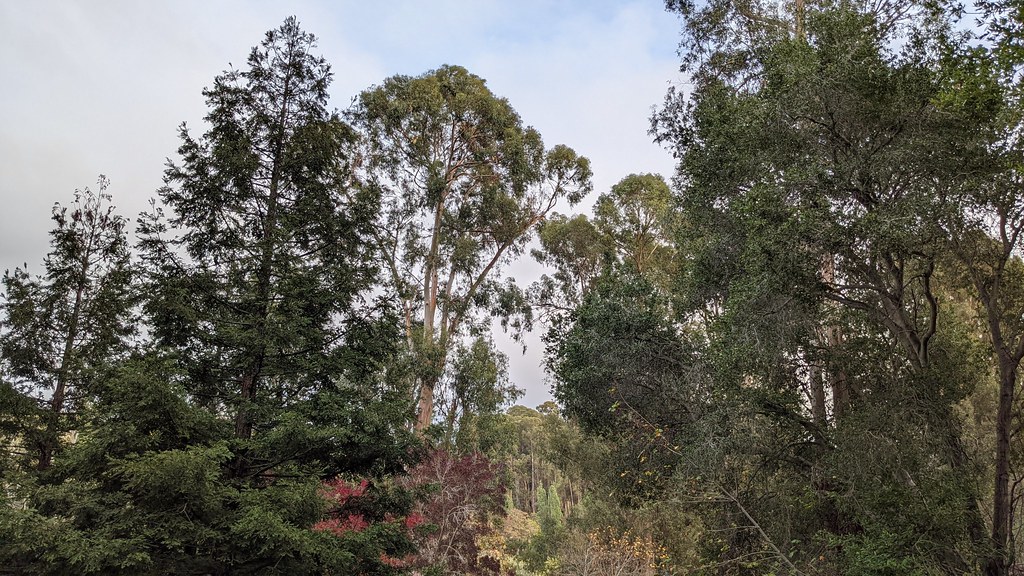 Photo: PLeia2, CC BY 2.0 (via Flickr)
- 0.5 mi
- round trip
- 108 ft
- climb
- 290 ft
- high point
- Out and back
- route
- Jan–Dec
- best months
The Chabot to Garin Trail is a short out-and-back hike of about 0.9 miles, with a total elevation gain of about 108 feet. It starts and ends near the same elevation, about 270 feet, and the climb is front-loaded, with the steepest stretch around 0.2 miles in. The high point is about 290 feet. The trail is rated easy, and the round trip takes about half an hour. Fairview is the nearest town, about 1.8 miles away. Late summer is the warmest and driest stretch. Typical averages from a nearby weather station show September highs around 77°F with lows near 58°F and almost no wet days, while winter brings highs in the upper 50s and about 10 wet days a month. Lake View Trail is about 0.4 miles away, and Chabot-to-Garin Regional Trail is about 0.5 miles away. Deer Canyon Trail and Shady Canyon Trail are each about 1.3 miles off.
Local outfitters
- Point Reyes Outdoors48 mi away
Not on Roamze yet. Their page has how to reach them.
- Lake View TrailHikingPhoto: PLeia2, CC BY 2.0 (via Flickr)0.4 mi
- Chabot-to-Garin Regional TrailHiking0.5 mi
 Deer Canyon TrailHikingPhoto: btaroli, CC BY 2.0 (via Flickr)1.3 mi
- Shady Canyon TrailHiking1.3 mi
 Newt Pond TrailHikingPhoto: btaroli, CC BY 2.0 (via Flickr)1.7 mi
- Sandstone TrailHikingPhoto: btaroli, CC BY 2.0 (via Flickr)1.9 mi
 Ten Hills TrailHikingPhoto: czarcats, CC BY 2.0 (via Flickr)2 mi
- Old Moraga Ranch TrailMountain biking8.6 mi
Source: Roamze catalog (indexable pages within 10 miles, PostGIS distance)
- Lake View TrailHiking · Next doorPhoto: PLeia2, CC BY 2.0 (via Flickr)
- Honker Bay TrailHiking · ~5 min drivePhoto: czarcats, CC BY 2.0 (via Flickr)
 West Shore TrailHiking · ~7 min drivePhoto: czarcats, CC BY 2.0 (via Flickr)
- Deer Canyon TrailHiking · ~2 min drivePhoto: btaroli, CC BY 2.0 (via Flickr)
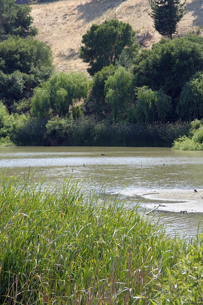 Dinosaur TrailHiking · ~5 min drivePhoto: mk97007, CC BY 2.0 (via Flickr)
- Ramage TrailHiking · ~7 min drive
 Chabot-To-Garin Regional TrailHiking · ~2 min drivePhoto: btaroli, CC BY 2.0 (via Flickr)
 Willow View TrailHiking · ~5 min drivePhoto: vonguard, CC BY-SA 2.0 (via Flickr)
- Newt Pond TrailHiking · ~3 min drivePhoto: btaroli, CC BY 2.0 (via Flickr)
- Brandon TrailHiking · ~5 min drivePhoto: vonguard, CC BY-SA 2.0 (via Flickr)
Also worth it near here
Best time to visit Chabot to Garin Trail
Best months: Year-round. Best months have typical highs of 55–85 °F, lows of 30 °F or warmer (32 °F where the station doesn't record snow), at most one snowy day and no more than 12 wet days.
Jan
59° / 43°
10 wet
Feb
62° / 45°
9 wet
Mar
64° / 47°
9 wet
Apr
67° / 49°
6 wet
May
69° / 52°
3 wet
Jun
74° / 55°
1 wet
Jul
75° / 57°
0 wet
Aug
76° / 58°
0 wet
Sep
77° / 58°
1 wet
Oct
73° / 54°
3 wet
Nov
65° / 47°
7 wet
Dec
59° / 43°
10 wet
Typical high / low (°F) and days with rain or snow, 1991–2020. Measured at Hayward Air Terminal, CA, 4.7 mi away at 43 ft. This station doesn't record snowfall. Source: NOAA NCEI U.S. Climate Normals 1991–2020.
Map and trail data © OpenStreetMap contributors
