Camp Via (Sonoma Developmental Center)
Campground
Campground · 9.3 mi from the trail
 Photo: sarahstierch, Public Domain Dedication (CC0) (via Flickr)
The Causeway Trail is an easy, short hike in Tolay Lake Regional Park, a county-managed park in California. It is an out-and-back route of about 1.9 miles, with a total elevation gain of roughly 237 feet, so the climb is gentle and the trail is easy to fit into a short visit. The trail starts and ends at a low point of about 215 feet, and it reaches a high point of 421 feet. The steepest part comes around the 0.8-mile mark, with a grade of about 11 percent. That stretch gives the hike a slight challenge, but the overall profile stays mild. For the most comfortable weather, aim for late spring or early fall. Typical averages from a nearby weather station in Petaluma show May highs around 72°F and October highs around 76°F, while winter brings more frequent wet days and cooler nights. Several other trails sit within a mile, including the Burrowing Owl Trail and the Pond Trail, both about 0.6 miles away, and the East Ridge Trail at 0.9 miles. The Lower Mount Burdell Trail is about 4.9 miles away.
Camp Via (Sonoma Developmental Center)
Campground
Ernie's Tin Bar
Bar
Aviation museum in Sonoma, California
Places © OpenStreetMap contributors
More in TemelecNot on Roamze yet. Their page has how to reach them.
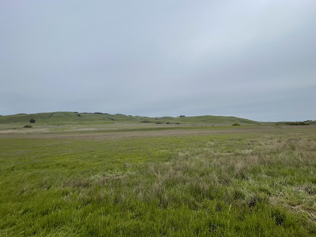 Burrowing Owl TrailHikingPhoto: sarahstierch, Public Domain Dedication (CC0) (via Flickr)0.6 mi
 Pond TrailHikingPhoto: sarahstierch, Public Domain Dedication (CC0) (via Flickr)0.6 miEast Ridge TrailHikingPhoto: sarahstierch, Public Domain Dedication (CC0) (via Flickr)0.9 mi
 Upland Pond TrailHikingPhoto: sarahstierch, Public Domain Dedication (CC0) (via Flickr)1 miWest Ridge TrailHikingPhoto: sarahstierch, Public Domain Dedication (CC0) (via Flickr)1.1 mi
 Lower Mount Burdell TrailHikingPhoto: npdoty, CC BY 2.0 (via Flickr)4.9 mi
 Miwok TrailHikingPhoto: Doug Letterman, CC BY 2.0 (via Flickr)5.3 mi
Source: Roamze catalog (indexable pages within 10 miles, PostGIS distance)
Burrowing Owl TrailHiking · Next doorPhoto: sarahstierch, Public Domain Dedication (CC0) (via Flickr)West Ridge TrailHiking · ~2 min drivePhoto: sarahstierch, Public Domain Dedication (CC0) (via Flickr)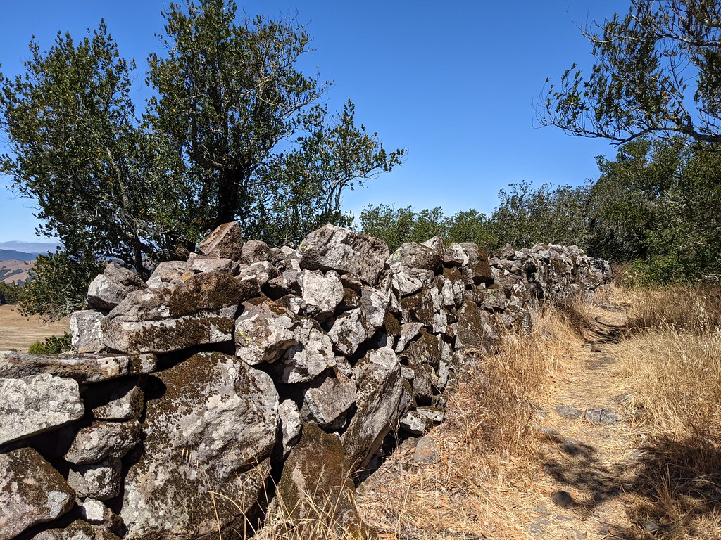 Upper Mount Burdell TrailHiking · ~10 min drivePhoto: Jesse Wagstaff, CC BY 2.0 (via Flickr)Pond TrailHiking · ~1 min drivePhoto: sarahstierch, Public Domain Dedication (CC0) (via Flickr)Lower Mount Burdell TrailHiking · ~8 min drivePhoto: npdoty, CC BY 2.0 (via Flickr)East Ridge TrailHiking · ~2 min drivePhoto: sarahstierch, Public Domain Dedication (CC0) (via Flickr)Miwok TrailHiking · ~9 min drivePhoto: Doug Letterman, CC BY 2.0 (via Flickr)Pond TrailHiking · ~2 min drivePhoto: sarahstierch, Public Domain Dedication (CC0) (via Flickr)
 Fieldstone TrailHiking · ~11 min drivePhoto: Jesse Wagstaff, CC BY 2.0 (via Flickr)Upland Pond TrailHiking · ~2 min drivePhoto: sarahstierch, Public Domain Dedication (CC0) (via Flickr)
Best months: Year-round. Best months have typical highs of 55–85 °F, lows of 30 °F or warmer (32 °F where the station doesn't record snow), at most one snowy day and no more than 12 wet days.
Jan
58° / 39°
12 wet
Feb
61° / 40°
11 wet
Mar
64° / 42°
10 wet
Apr
68° / 44°
7 wet
May
72° / 47°
4 wet
Jun
78° / 50°
1 wet
Jul
81° / 52°
0 wet
Aug
81° / 53°
0 wet
Sep
82° / 51°
1 wet
Oct
76° / 48°
4 wet
Nov
65° / 42°
8 wet
Dec
58° / 38°
12 wet
Typical high / low (°F) and days with rain or snow, 1991–2020. Measured at Petaluma Ap, CA, 6.1 mi away at 20 ft. Source: NOAA NCEI U.S. Climate Normals 1991–2020.
Map and trail data © OpenStreetMap contributors

