Castro Motorway
California
Free — you'll pick up right here.
1.4 mi
Distance
538 ft
Gain
Conditions: Clear
for hike, todayWeather is good
1 factor · 1 source
Observed 6 h ago
clear: Weather
Clear, high 72°F / low 70°F, 0% precip — 100/100 for hike
OpenWeather6 h ago
Been out here in the last few days? One report keeps this current for everyone.
Why you'll love it
Here's your day, mapped
Castro Motorway
Suggested plan · check conditions before you go
Meals
Gear for the day
Elevation & route
- Distance
- 1.4 mi
- Elevation gain
- 538 ft
Photos
Directions & GPX
Permits & access
- Managing agency
- National Park Service
About this trail
Castro Motorway is a 2.74-mile out-and-back trail in California with 538 feet of elevation gain. The trail follows a motorway route and is managed by the National Park Service.
Add to a trip & share
Keep exploring — more trails worth the drive
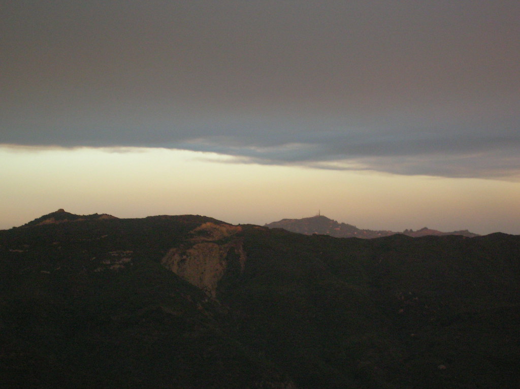
Photo: cho_kettie, CC BY 2.0 (via Flickr)Backbone Trail - Upper Solstice Canyon
~1 min drive
1.02-mile out-and-back trail in California with 641 ft elevation gain and loss.
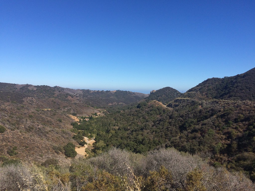 Photo: sergei.gussev, CC BY 2.0 (via Flickr)
Backbone Trail - Newton Canyon
~2 min drive
4.48-mile out-and-back trail in California with 1,911 ft elevation gain and loss.
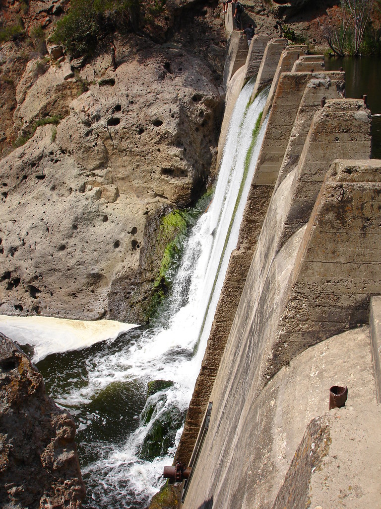 Photo: NoiseCollusion, CC BY 2.0 (via Flickr)
Gorge Route
~4 min drive
0.96-mile out-and-back trail in California's national park with 181 ft elevation gain.
Photo: cho_kettie, CC BY 2.0 (via Flickr)Mesa Peak Trail
~2 min drive
0.68-mile out-and-back hike to Mesa Peak in California with 140 ft of elevation gain.
 Photo: Santa Monica Mountains National Recreation Area, Public Domain Mark (via Flickr)
Malibou Lake Connector Trail
~3 min drive
1.16-mile out-and-back trail in California with 1,080 ft elevation gain
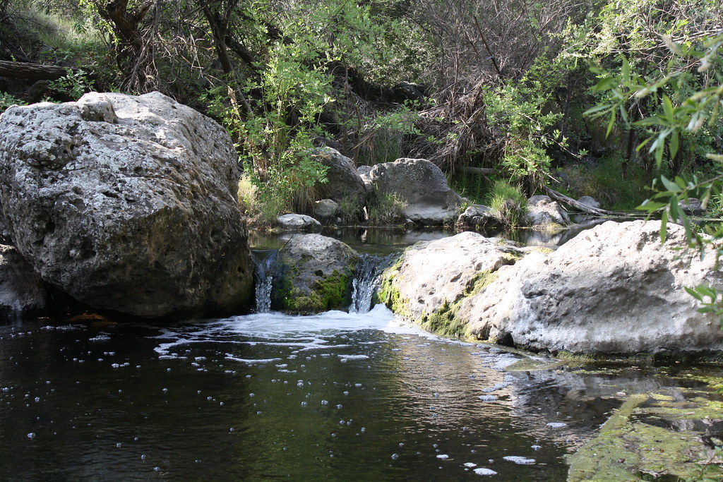 Photo: jmlawlor, CC BY 2.0 (via Flickr)
Century Dam Route
~4 min drive
0.8-mile out-and-back trail to Century Dam in California.
Photo: NoiseCollusion, CC BY 2.0 (via Flickr)Lost Cabin Trail
~3 min drive
1.48-mile out-and-back hike in California with 371 ft elevation gain
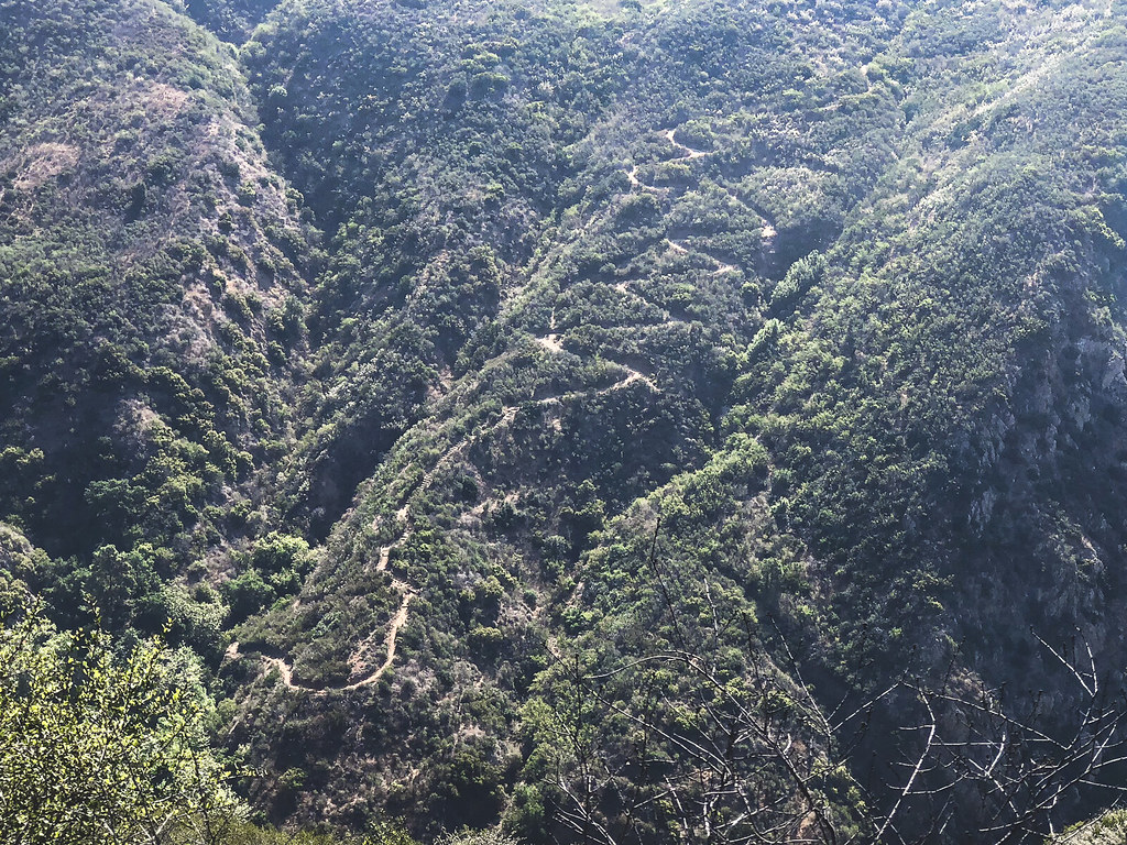 Photo: mjhbower, CC BY-SA 2.0 (via Flickr)
Deer Valley Loop Trail
~4 min drive
1.3-mile out-and-back trail in California with 1,274 ft elevation gain
 Photo: Santa Monica Mountains National Recreation Area, Public Domain Mark (via Flickr)
Hacienda Trail
~4 min drive
0.98-mile out-and-back trail in California with 53 ft of elevation gain.
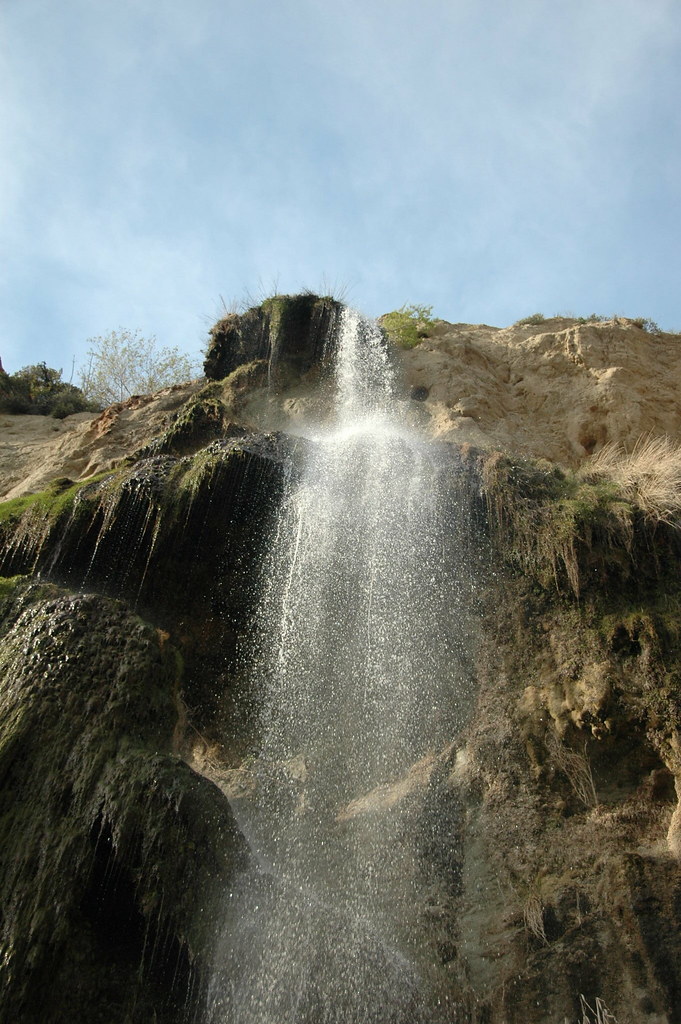 Photo: rmahle, CC BY 2.0 (via Flickr)
Ava and Cole Weintraub Trail
~3 min drive
0.72-mile out-and-back hike in California with 146 ft of elevation gain.
Also worth it near here
 Photo: USMARINE0311 from California, United States, CC BY-SA 2.0 (via Wikimedia Commons)
Castro Peak
~1 min drive
Restroom
~3 min drive
 Photo: playboyr, CC BY 3.0 (via Wikimedia Commons)
Stumbling Blocks
~4 min drive
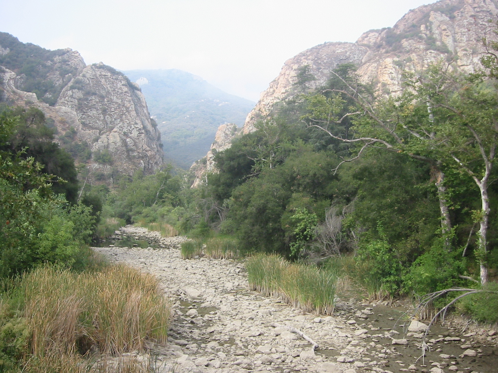 Photo: Tobin/tobo, Rochester, NY, USA, CC BY-SA 2.0 (via Wikimedia Commons)
Malibu Creek
~4 min drive
Camp Summertime
~5 min drive
