San Mateo Campground
Campground
Campground · 12 mi from the trail
The California Coastal Trail is a short, easy outing on Marine Corps Base Camp Pendleton, about 0.33 miles long and roughly 0.66 miles round trip. It starts and ends at nearly the same elevation, with a low point of 14 feet and a high point of 59 feet, and the climb stays steady throughout, with the steepest stretch coming around 0.26 miles in at about 6 percent grade. The weather here is mild year-round, with typical averages from a nearby weather station at Camp Pendleton showing highs near 69°F from December through March and rising to around 83°F in August and September. The station sits at a similar elevation to the trail, so these figures are a good guide to what to expect on the ground. The trip takes about half an hour, so it fits easily into a short stop on the base. For a longer outing, Lost Beach Trail lies about 5.5 miles away, Kahuna Shore Trail about 6.1 miles, and Smugglers Canyon Trail about 7.1 miles.
San Mateo Campground
Campground
 If it rainsLeonard J. DeFrancisci, CC BY-SA 3.0 · Wikimedia Commons
WWII/Korea LVT Museum
Museum
Military museum in California, USA
Places © OpenStreetMap contributors · Photos: Leonard J. DeFrancisci, CC BY-SA 3.0 (commons)
More in FallbrookNot on Roamze yet. Their page has how to reach them.
 Kahuna Shore TrailHikingPhoto: darinrmcclure, CC BY 2.0 (via Flickr)6.1 mi
Source: Roamze catalog (indexable pages within 10 miles, PostGIS distance)
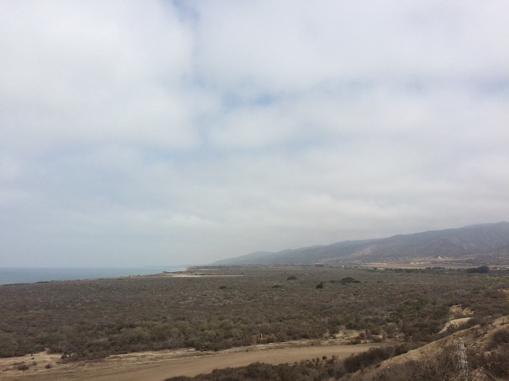 California Coastal TrailHiking · ~6 min drivePhoto: sergei.gussev, CC BY 2.0 (via Flickr)
 California Coastal TrailHiking · ~9 min drivePhoto: darinrmcclure, CC BY 2.0 (via Flickr)Kahuna Shore TrailHiking · ~10 min drivePhoto: darinrmcclure, CC BY 2.0 (via Flickr)
 California Coastal TrailHiking · ~16 min drivePhoto: Pintsmasher, CC BY 3.0 (via Wikimedia Commons)
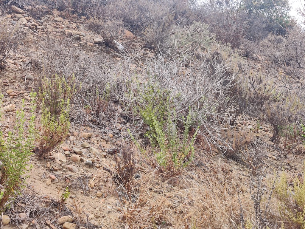 Panhe Nature TrailHiking · ~20 min drivePhoto: pproenxa, CC BY 2.0 (via Flickr)
 Viewpoint TrailHiking · ~20 min drivePhoto: Alicezeppelin, CC BY-SA 4.0 (via Wikimedia Commons)
 South Shore TrailHiking · ~21 min drivePhoto: Alicezeppelin, CC BY-SA 4.0 (via Wikimedia Commons)
Best months: Year-round. Best months have typical highs of 55–85 °F, lows of 30 °F or warmer (32 °F where the station doesn't record snow), at most one snowy day and no more than 12 wet days.
Jan
69° / 40°
Feb
69° / 41°
Mar
69° / 45°
Apr
72° / 48°
May
72° / 53°
Jun
76° / 57°
Jul
80° / 60°
Aug
83° / 61°
Sep
83° / 58°
Oct
79° / 52°
Nov
75° / 44°
Dec
69° / 39°
Typical high / low (°F) and days with rain or snow, 1991–2020. Measured at Camp Pendleton Mcas, CA, 5.9 mi away at 75 ft. This station doesn't record snowfall. Source: NOAA NCEI U.S. Climate Normals 1991–2020.
Map and trail data © OpenStreetMap contributors
