Bruce Lee Spring Trail
 Photo: npdoty, CC BY 2.0 (via Flickr)
- 0.7 mi
- round trip
- 571 ft
- climb
- 1,098 ft
- high point
- Out and back
- route
- Feb–Nov
- best months
Bruce Lee Spring Trail is an easy out-and-back hike in Mount Diablo State Park, about 0.65 miles long with a total elevation gain of 571 feet. The trail starts at about 726 feet and climbs to a high point of 1,098 feet. The climb is rolling, and the steepest section comes early, around 0.29 miles in, with a grade of about 22%. Spring and fall are the most comfortable times to go. Typical averages from the Mt Diablo Junction weather station, about 2.2 miles away, put May highs near 68°F and October highs around 72°F, while July and August average in the low 80s. That station sits about 1,072 feet lower than the trail's high point, so temperatures up top run cooler. The trail is managed by State Park and Recreation, and the route takes about half an hour. Several other hikes start close by, including Donner Cabin Trail and Wassermann Trail, each about 0.2 miles away, and Meridian Point Trail at 0.4 miles. For climbing, Mount Diablo State Park has a climbing area about 3 miles away.
Local outfitters
- Point Reyes Outdoors49 mi away
Not on Roamze yet. Their page has how to reach them.
- Donner Cabin TrailHikingPhoto: npdoty, CC BY 2.0 (via Flickr)0.2 mi
- Wassermann TrailHikingPhoto: npdoty, CC BY 2.0 (via Flickr)0.2 mi
 Tick Wood TrailHikingPhoto: npdoty, CC BY 2.0 (via Flickr)0.3 mi
- Meridian Point TrailHikingPhoto: npdoty, CC BY 2.0 (via Flickr)0.4 mi
- Mount Diablo State ParkRock climbing3 mi
 The Rock of AgesRock climbingPhoto: @bastique, CC BY-SA 2.0 (via Flickr)4 mi
- Flintstone RockRock climbingPhoto: @bastique, CC BY-SA 2.0 (via Flickr)4 mi
- Walnut CreekCanoeing7.6 mi
Source: Roamze catalog (indexable pages within 10 miles, PostGIS distance)
- Donner Cabin TrailHiking · Next doorPhoto: npdoty, CC BY 2.0 (via Flickr)
- Meridian Point TrailHiking · Next doorPhoto: npdoty, CC BY 2.0 (via Flickr)
 Eagle Peak TrailHiking · ~2 min drivePhoto: selkovjr, CC BY 2.0 (via Flickr)
- Wassermann TrailHiking · Next doorPhoto: npdoty, CC BY 2.0 (via Flickr)
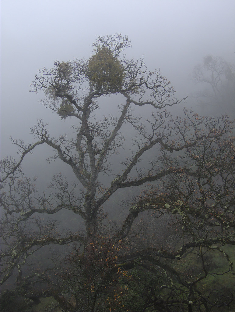 Falls TrailHiking · ~1 min drivePhoto: selkovjr, CC BY 2.0 (via Flickr)
- Black Point TrailHiking · ~2 min drive
- Tick Wood TrailHiking · Next doorPhoto: npdoty, CC BY 2.0 (via Flickr)
- Middle TrailHiking · ~1 min drivePhoto: npdoty, CC BY 2.0 (via Flickr)
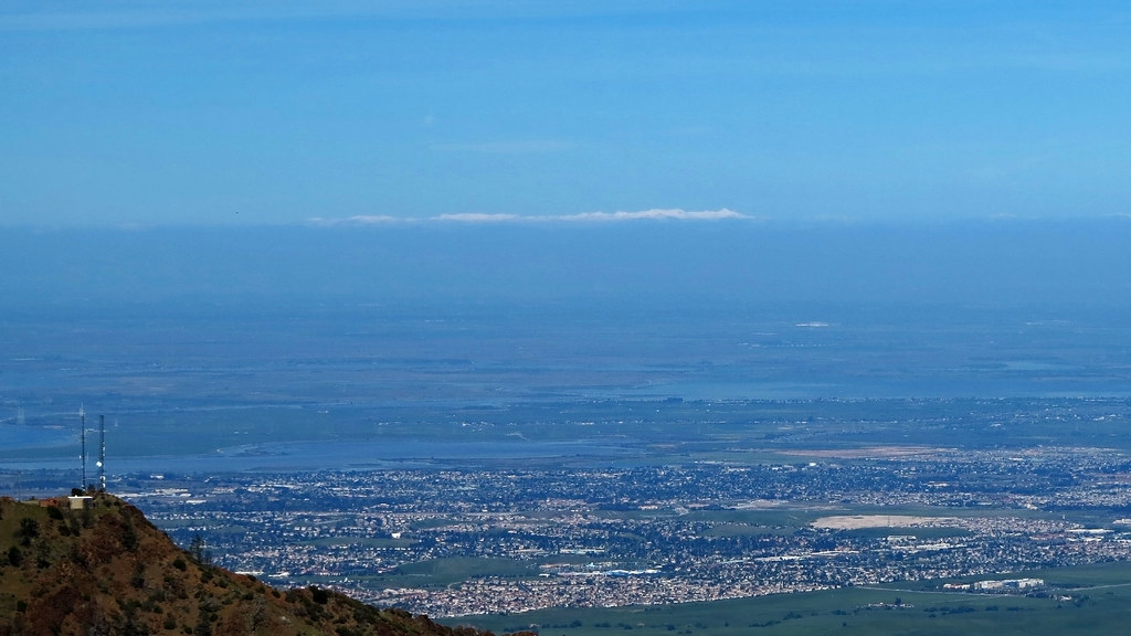 Mary Bowerman Trail LoopHiking · ~3 min drivePhoto: albategnius, CC BY-SA 2.0 (via Flickr)
- Back Creek TrailHiking · ~2 min drivePhoto: selkovjr, CC BY 2.0 (via Flickr)
Also worth it near here
 Mount DiabloSummit · ~3 min drivePhoto: Trurl66, Public domain (via Wikimedia Commons)
- Juniper CampgroundCamping · ~4 min drive
- The Rock of AgesRock climbing · ~7 min drivePhoto: @bastique, CC BY-SA 2.0 (via Flickr)
 Hanna Grove TrailMountain biking · ~8 min drivePhoto: Doug Olson, CC BY-SA 3.0 (via Wikimedia Commons)
Best time to visit Bruce Lee Spring Trail
Best months: February–November. Best months have typical highs of 55–85 °F, lows of 30 °F or warmer (32 °F where the station doesn't record snow), at most one snowy day and no more than 12 wet days.
Jan
54° / 42°
11 wet
Feb
55° / 42°
11 wet
Mar
58° / 43°
10 wet
Apr
62° / 44°
7 wet
May
68° / 49°
4 wet
Jun
76° / 55°
1 wet
Jul
82° / 62°
1 wet
Aug
83° / 61°
0 wet
Sep
80° / 60°
1 wet
Oct
72° / 54°
4 wet
Nov
60° / 46°
7 wet
Dec
53° / 41°
11 wet
Typical high / low (°F) and days with rain or snow, 1991–2020. Measured at Mt Diablo Junction, CA, 2.2 mi away at 2,170 ft. The station sits about 1,100 ft higher than this place, so expect it a little warmer here. Source: NOAA NCEI U.S. Climate Normals 1991–2020.
Map and trail data © OpenStreetMap contributors
