Loading…

Free — you'll pick up right here.
Watch this trail
Sign up to watch it — saving subscribes you to gate, closure and report changes.
California
1.3 mi
Distance
107 ft
Gain
Agency alerts are in effect for this area; weather is good
2 factors · 2 sources
Newest 11 h ago · oldest 1 d
caution: Agency alerts
38 active alerts in Humboldt-Toiyabe National Forest; most severe: Floriston Fire Closure
USFS1 d ago
clear: Weather
Clear, high 48°F / low 48°F, 0% precip — 100/100 for hike
OpenWeather11 h ago
Been out here in the last few days? One report keeps this current for everyone.
Why you'll love it
Bonanza
AI-suggested draft · review before you go
No permit or access details on file for this trail — check with the local land manager before you go.
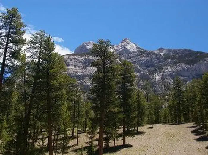
The Bonanza trail offers a straightforward out-and-back adventure spanning 1.28 miles in Nevada's Mt. Charleston Wilderness. This accessible route provides hikers an opportunity to explore the wilderness area without requiring an extensive time commitment.
Bristlecone
~2 min drive
10-mile high desert trail through bristlecone pine groves with steady elevation gain.
Trail Canyon
~6 min drive
Short desert canyon hike with scenic walls and geological features.
Trail Canyon
~7 min drive
Moderate canyon hike with steady elevation gain near Trail Canyon, Nevada.
Blue Tree Loop
~8 min drive
A 3.48-mile out-and-back trail in Nevada perfect for a half-day hike.
Sawmill Loop
~8 min drive
Easy 2.56-mile loop with minimal elevation gain near Sawmill area.
Charleston Peak Trail South Loop
~5 min drive
Moderate 8.4-mile alpine loop with scenic ridgeline views in Nevada's Spring Mountains.
North Loop
~8 min drive
A 1-mile out-and-back trail in Nevada that connects to the Trail Canyon system.
Original Showgirl
~10 min drive
Moderate 5.8-mile Nevada desert trail with steady elevation gain.
North Loop
~8 min drive
Moderate 9.61-mile loop with 2,725 ft elevation gain in Nevada.
Atomic Duck
~11 min drive
Easy 1.5-mile desert walk with 156 ft elevation gain.