River Bend Resort
Campground
Campground · 9.9 mi from the trail
Big Leaf Trail is a short, easy out-and-back hike in Shiloh Ranch Regional Park, on county land in California. The trail is about 1.9 miles long, with a total elevation gain of 683 feet, and it starts at an elevation of about 310 feet, rising to a high point of 559 feet before returning to the start. The steepest stretch comes at about 0.43 miles in, with a grade of 14 percent. The most comfortable months for a visit are typically late spring and early fall. Typical averages from a nearby weather station in Santa Rosa show May highs around 75°F and October highs around 77°F, with only a few wet days in each. That station sits about 445 feet lower than the trail's high point, so temperatures on the trail run cooler. The hike takes about an hour. Several other trails start within a short distance, including South Ridge Trail, Ridge Trail and Pond Trail, each about 0.6 miles away. For paddling, Mark West Creek is about 1.8 miles off.
River Bend Resort
Campground
 If it rainsCrabTree13, CC BY-SA 3.0 · Wikimedia Commons
Places © OpenStreetMap contributors, Places © Overture Maps Foundation · Photos: CrabTree13, CC BY-SA 3.0 (commons)
More in TemelecNot on Roamze yet. Their page has how to reach them.
 Mark West CreekCanoeingPhoto: Stepheng3 at English Wikipedia, Public domain (via Wikimedia Commons)1.8 mi
 Santa Rosa CreekCanoeingPhoto: Covalent at en.wikipedia, CC BY-SA 3.0 (via Wikimedia Commons)7.8 mi
Source: Roamze catalog (indexable pages within 10 miles, PostGIS distance)
 Canyon TrailHiking · ~14 min drivePhoto: bryce_edwards, CC BY 2.0 (via Flickr)
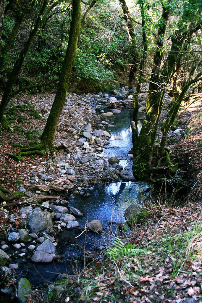 Cobblestone TrailHiking · ~15 min drivePhoto: Mike Disharoon, CC BY-SA 2.0 (via Flickr)John Beckmeyer TrailHiking · ~15 min drivePhoto: bryce_edwards, CC BY 2.0 (via Flickr)
 Upper Colgan Creek TrailHiking · ~16 min drivePhoto: Roebot, CC BY-SA 2.0 (via Flickr)
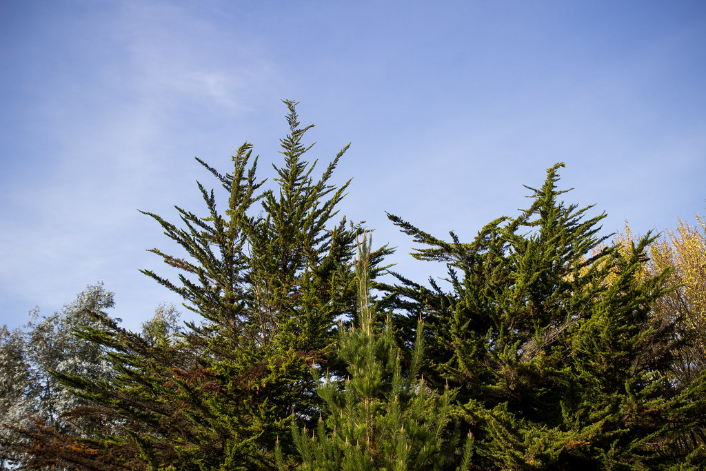 Channel TrailHiking · ~15 min drivePhoto: HarshLight, CC BY 2.0 (via Flickr)
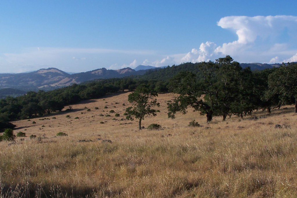 Canyon TrailHiking · ~17 min drivePhoto: ((brian)), CC BY 2.0 (via Flickr)
 Orchard LoopHiking · ~15 min drivePhoto: Don McCullough, CC BY 2.0 (via Flickr)Orchard TrailHiking · ~16 min drivePhoto: Mike Disharoon, CC BY-SA 2.0 (via Flickr)Redtail TrailHiking · ~16 min drivePhoto: Roebot, CC BY-SA 2.0 (via Flickr)
Also worth it near here
Mark West CreekCanoeing · ~3 min drivePhoto: Stepheng3 at English Wikipedia, Public domain (via Wikimedia Commons) Taylor MountainSummit · ~17 min drivePhoto: Stepheng3, CC BY-SA 3.0 (via Wikimedia Commons)
Best months: Year-round. Best months have typical highs of 55–85 °F, lows of 30 °F or warmer (32 °F where the station doesn't record snow), at most one snowy day and no more than 12 wet days.
Jan
58° / 37°
12 wet
Feb
62° / 39°
11 wet
Mar
65° / 41°
11 wet
Apr
69° / 43°
7 wet
May
75° / 47°
4 wet
Jun
82° / 50°
2 wet
Jul
83° / 52°
0 wet
Aug
84° / 52°
0 wet
Sep
83° / 50°
2 wet
Oct
77° / 46°
5 wet
Nov
65° / 40°
9 wet
Dec
58° / 37°
12 wet
Typical high / low (°F) and days with rain or snow, 1991–2020. Measured at Santa Rosa Sonoma Co Ap, CA, 3 mi away at 114 ft. This station doesn't record snowfall. Source: NOAA NCEI U.S. Climate Normals 1991–2020.
Map and trail data © OpenStreetMap contributors
