Bear River Habitat Trail
- 3.6 mi
- round trip
- 168 ft
- climb
- 63 ft
- high point
- Out and back
- route
- Oct–May
- best months
Clear today
Weather is good · OpenWeather · checked 10 h ago
Bear River Habitat Trail is a 7.1-mile out-and-back hike in California, about 0.7 miles from the town of Plumas Lake. The trail is rated moderate, and the route is flat with a total elevation gain of 168 feet, so the climb is gentle and the high point is only 63 feet above the starting elevation of 47 feet. The steepest stretch comes early, at about 0.23 miles in, with a grade of 2 percent. Spring and fall are the most comfortable times to go. Typical averages from a nearby weather station show April highs around 73°F and October highs around 79°F, while July and August average in the mid-90s. The trip takes about 2.5 hours.
 Farm Ditch TrailHiking · ~28 min drivePhoto: mdornseif, CC BY-SA 2.0 (via Flickr)
- Grey Squirrel TrailHiking · ~32 min drive
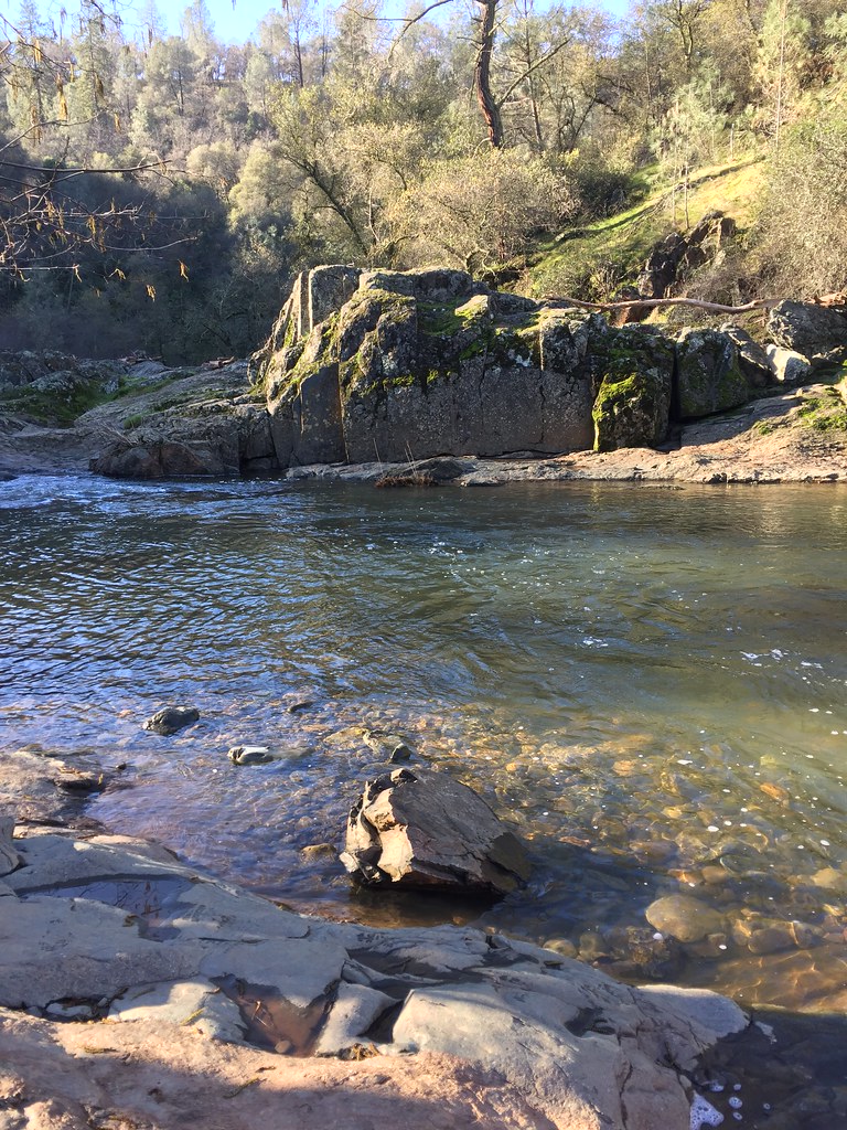 Mourning Dove TrailHiking · ~33 min drivePhoto: ray_explores, CC BY 2.0 (via Flickr)
- Creekside TrailHiking · ~32 min drive
 Ringtail TrailHiking · ~33 min drivePhoto: ray_explores, CC BY 2.0 (via Flickr)
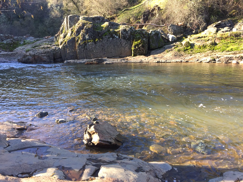 Cooper's Hawk TrailHiking · ~33 min drivePhoto: ray_explores, CC BY 2.0 (via Flickr)
- Gold Finch TrailHiking · ~33 min drivePhoto: ray_explores, CC BY 2.0 (via Flickr)
- Golden Eagle LoopHiking · ~33 min drivePhoto: ray_explores, CC BY 2.0 (via Flickr)
- Deer TrailHiking · ~33 min drivePhoto: ray_explores, CC BY 2.0 (via Flickr)
- Pheasant TrailHiking · ~34 min drivePhoto: ray_explores, CC BY 2.0 (via Flickr)
Best time to visit Bear River Habitat Trail
Best months: October–May. Best months have typical highs of 55–85 °F, lows of 30 °F or warmer (32 °F where the station doesn't record snow), at most one snowy day and no more than 12 wet days.
Jan
56° / 38°
10 wet
Feb
60° / 41°
9 wet
Mar
66° / 43°
9 wet
Apr
73° / 46°
6 wet
May
82° / 52°
4 wet
Jun
90° / 58°
1 wet
Jul
96° / 61°
0 wet
Aug
94° / 59°
0 wet
Sep
90° / 56°
1 wet
Oct
79° / 49°
4 wet
Nov
64° / 41°
7 wet
Dec
55° / 38°
11 wet
Typical high / low (°F) and days with rain or snow, 1991–2020. Measured at Marysville Yuba Co Ap, CA, 5.4 mi away at 62 ft. This station doesn't record snowfall. Source: NOAA NCEI U.S. Climate Normals 1991–2020.
Map and trail data © OpenStreetMap contributors
