Skyline Wilderness Park RV Camp Area
Campground
Campground · 6.4 mi from the trail
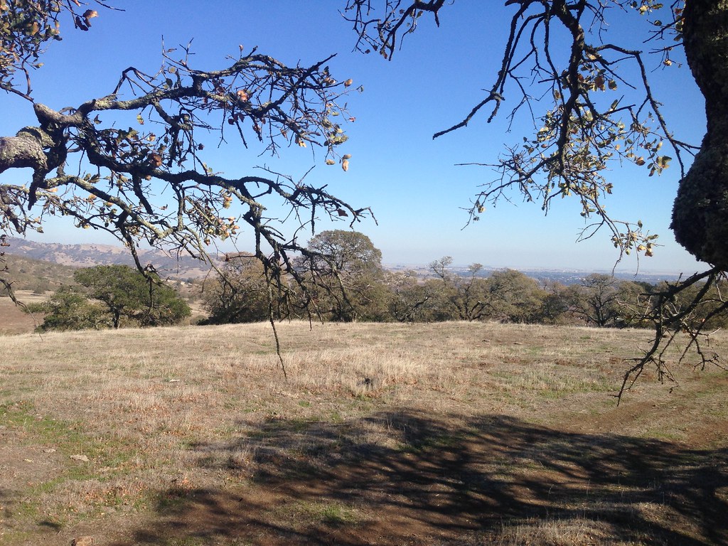
The Bay Area Ridge Trail is a short, easy out-and-back hike in Rockville Hills Regional Park, a city-managed park in California. The route is about a mile long, with a total elevation gain of 244 feet, and it starts and ends at roughly 320 feet. The climb is front-loaded, with the steepest stretch at the beginning, where the grade reaches about 14 percent. Spring and fall are the most comfortable times to go. Typical averages from a nearby weather station in Fairfield show May and October highs around 78°F, while July and August average about 90°F. That station sits about 400 feet lower than the trail, so temperatures on the ridge run a little cooler. The hike takes about half an hour. Rockville Trail is 0.3 miles away, Heartland Trail is 0.4 miles away, and Mule Loop is 0.5 miles away. For time on the water, Suisun Creek is about 3 miles off.
Skyline Wilderness Park RV Camp Area
Campground
Art collection and museum in Napa, California
Places © OpenStreetMap contributors, Places © Overture Maps Foundation
More in TemelecNot on Roamze yet. Their page has how to reach them.
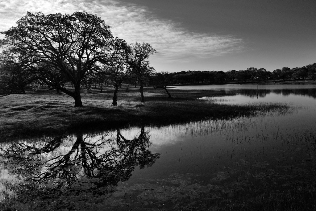 Rockville TrailHikingPhoto: Tom Hilton, CC BY 2.0 (via Flickr)0.3 miHeartland TrailHikingPhoto: Tom Hilton, CC BY 2.0 (via Flickr)0.4 mi
 Mule LoopHikingPhoto: Ben Chun, CC BY-SA 2.0 (via Flickr)0.5 mi
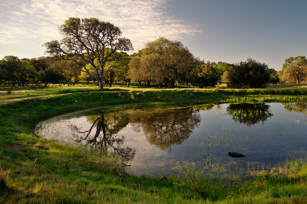 Lower Tilley LoopHikingPhoto: Tom Hilton, CC BY 2.0 (via Flickr)0.7 mi
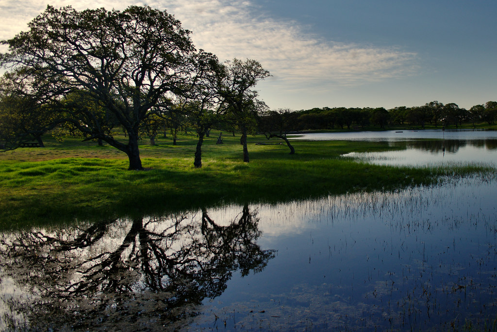 Unknown TrailHikingPhoto: Tom Hilton, CC BY 2.0 (via Flickr)0.8 mi
Source: Roamze catalog (indexable pages within 10 miles, PostGIS distance)
Rockville TrailHiking · Next doorPhoto: Tom Hilton, CC BY 2.0 (via Flickr)Mule LoopHiking · Next doorPhoto: Ben Chun, CC BY-SA 2.0 (via Flickr)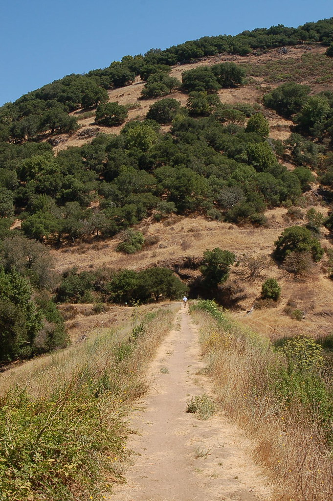 Skyline Trail (Bay Area Ridge Trail)Hiking · ~7 min drivePhoto: igb, CC BY 2.0 (via Flickr)Heartland TrailHiking · Next doorPhoto: Tom Hilton, CC BY 2.0 (via Flickr)Unknown TrailHiking · ~1 min drivePhoto: Tom Hilton, CC BY 2.0 (via Flickr)Outside LoopHiking · ~1 min drivePhoto: Tom Hilton, CC BY 2.0 (via Flickr)
 Harmonia TrailHiking · ~2 min drivePhoto: Ben Chun, CC BY-SA 2.0 (via Flickr)Upper Tilley LoopHiking · ~1 min drivePhoto: Tom Hilton, CC BY 2.0 (via Flickr)Lower Tilley LoopHiking · ~1 min drivePhoto: Tom Hilton, CC BY 2.0 (via Flickr)
Best months: October–June. Best months have typical highs of 55–85 °F, lows of 30 °F or warmer (32 °F where the station doesn't record snow), at most one snowy day and no more than 12 wet days.
Jan
57° / 40°
10 wet
Feb
62° / 43°
10 wet
Mar
66° / 45°
9 wet
Apr
71° / 48°
5 wet
May
78° / 52°
3 wet
Jun
85° / 56°
1 wet
Jul
90° / 58°
0 wet
Aug
89° / 58°
0 wet
Sep
87° / 57°
1 wet
Oct
78° / 52°
3 wet
Nov
66° / 45°
7 wet
Dec
57° / 40°
10 wet
Typical high / low (°F) and days with rain or snow, 1991–2020. Measured at Fairfield, CA, 4 mi away at 40 ft. Source: NOAA NCEI U.S. Climate Normals 1991–2020.
Map and trail data © OpenStreetMap contributors

