McGee Backpacker Cg
Campground
Campground · 3.2 mi from the trail
 Photo: Miguel Vieira from Redwood City, CA, USA, CC BY 2.0 (via Wikimedia Commons)
Alert in the area
The Forest Service lists 3 alerts for Inyo National Forest.
Help Halt Golden Mussel Invasion
Agency alert covering Inyo National Forest · USFS · Inyo National Forest
Ansel Adams and John Muir Wilderness Campfire Restrictions
Agency alert covering Inyo National Forest · Order 05-04-50-25-04 · USFS · Inyo National Forest
Golden Trout and Hoover Wilderness Campfire Restrictions
Agency alert covering Inyo National Forest · Order 05-04-50-25-05 · USFS · Inyo National Forest
As of · Source: USFS · Inyo National Forest. Agencies don't list every closure — check before you go.
Baldwin Canyon is a hard out-and-back hike in California's John Muir Wilderness, within the White Mountain Ranger District of Inyo National Forest. The trail starts at about 9,850 feet and climbs to a high point of 11,478 feet, with a total elevation gain of 2,736 feet over a 5.8-mile round trip. The steepest stretch comes at about 1.5 miles in, where the grade reaches 23%. The route is a long, steep climb, and the Forest Service manages the land. Plan on about 3.5 hours for the trip. Steelhead Lake lies just 0.4 miles away, and Big Mcgee Lake is about 1.5 miles off. For an overnight base, McGee Backpacker Campground is about 3.2 miles away, and the Convict Lake & McGee Creek climbing area is about 3.6 miles away.
McGee Backpacker Cg
Campground
The Restaurant at Convict Lake
Restaurant
Hot Spring
Hot spring
Places © OpenStreetMap contributors
More in Mammoth LakesNot on Roamze yet. Their page has how to reach them.
Steelhead LakeHikingPhoto: Miguel Vieira from Redwood City, CA, USA, CC BY 2.0 (via Wikimedia Commons)0.4 mi Big Mcgee LakeHikingPhoto: Miguel Vieira from Redwood City, CA, USA, CC BY 2.0 (via Wikimedia Commons)1.5 mi
Source: Roamze catalog (indexable pages within 10 miles, PostGIS distance)
Steelhead LakeHiking · Next doorPhoto: Miguel Vieira from Redwood City, CA, USA, CC BY 2.0 (via Wikimedia Commons)Hopkins Pass TrailHiking · ~3 min drivePhoto: Miguel Vieira from Redwood City, CA, USA, CC BY 2.0 (via Wikimedia Commons) Red Slate MountainHiking · ~6 min drivePhoto: Robert Gourley, CC BY 2.0 (via Flickr)
 Convict CreekHiking · ~6 min drivePhoto: Hike395 (talk · contribs), CC BY-SA 3.0 (via Wikimedia Commons)
 Mcgee MountainHiking · ~7 min drivePhoto: GSEC, CC BY 2.0 (via Flickr)Hopkins PassHiking · ~4 min drivePhoto: Miguel Vieira from Redwood City, CA, USA, CC BY 2.0 (via Wikimedia Commons)
 Mcgee PassHiking · ~5 min drivePhoto: Seth Tisue, CC BY-SA 2.0 (via Flickr)
 MONO CREEKHiking · ~8 min drivePhoto: feverblue, CC BY-SA 2.0 (via Flickr)
 McGee Creek to Hilton Creek TrailHiking · ~7 min drivePhoto: Dcrjsr, CC BY 4.0 (via Wikimedia Commons)
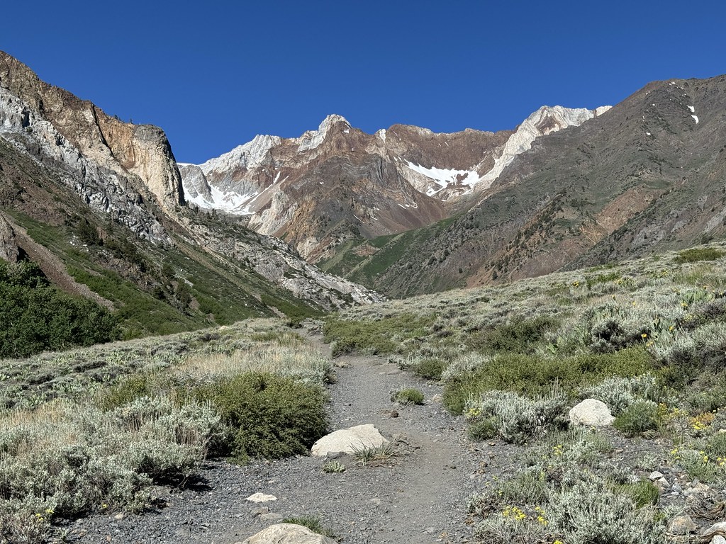 McGee Creek SpurHiking · ~5 min drivePhoto: Seth Tisue, CC BY-SA 2.0 (via Flickr)
Also worth it near here
 Mount BaldwinSummit · ~4 min drivePhoto: Channel City Camera Club from Santa Barbara, US, CC BY 2.0 (via Wikimedia Commons)
 Hilton CreekMountain biking · ~7 min drivePhoto: inkknife_2000 (7.5 million views +), CC BY-SA 2.0 (via Wikimedia Commons)
