Loading…

Free — you'll pick up right here.
Watch this trail
Sign up to watch it — saving subscribes you to gate, closure and report changes.
California
3.3 mi
Distance
694 ft
Gain
We won't guess. Here is exactly what we do and don't know.
What we do know
Inside Angeles National Forest
2 managing-area boundaries mapped — agency alerts for them feed this page automatically.
Boundary data
What's missing
No access route mapped
We don't yet know which road reaches this trailhead, so we can't tell you if it's gated.
Nobody's filed a report here yet — be the first.
Why you'll love it
Alder Creek
AI-suggested draft · review before you go
No permit or access details on file for this trail — check with the local land manager before you go.
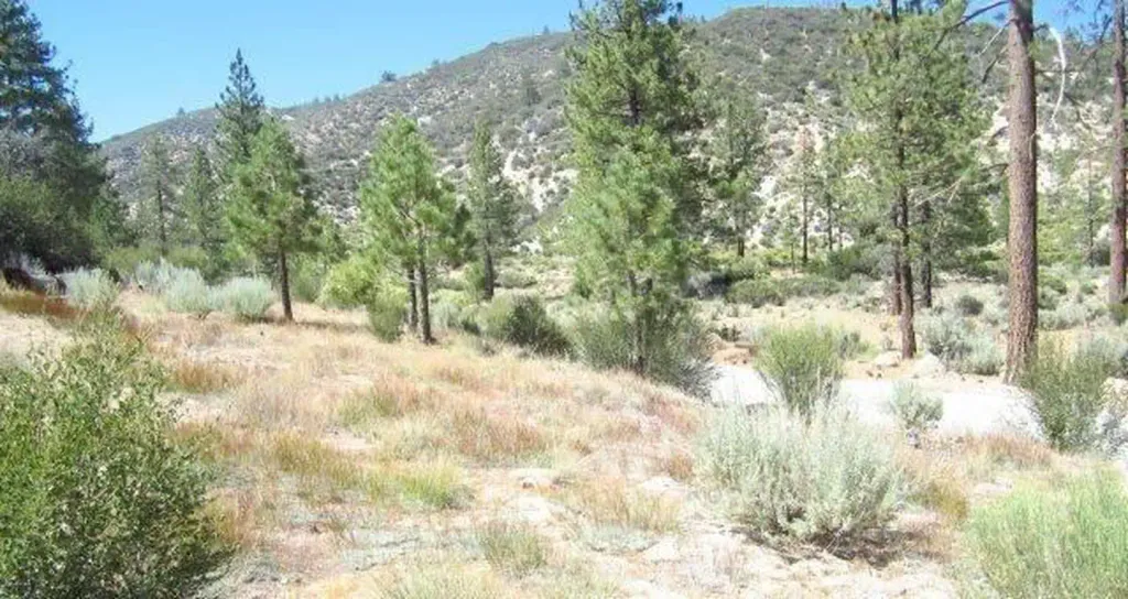
Alder Creek Trail is a scenic 3.34-mile out-and-back hike featuring a moderate elevation gain of 694 feet through riparian woodland and creek-side terrain. This accessible trail follows Alder Creek through a shaded canyon, offering cool respite during warmer months and opportunities to observe creek ecology and native vegetation. The steady climb rewards hikers with pleasant forest scenery and the soothing presence of flowing water.
Monte Cristo Trail
~3 min drive
Moderate 5.38-mile Sierra climb with 912 ft elevation gain.
Mt. Hillyer
~5 min drive
Accessible 3.6-mile foothill hike with steady elevation gain and mountain views.
Trees for Tomorrow
~11 min drive
Short forest walk with steady elevation gain and accessible tree-focused scenery.
Barley Flat Trail
~6 min drive
Moderate 6.6-mile foothill hike with 370 ft elevation gain.
Devils Canyon
~6 min drive
Scenic 5.51-mile canyon trail with rocky terrain and natural features.
Twin Peaks
~12 min drive
Short urban hike to twin summits with panoramic Bay Area views.
Fall Creek Trail
~7 min drive
Moderate 6-mile creek-side hike with 1,515 ft elevation gain.
Strawberry Peak
~8 min drive
Moderate 4.3-mile climb to scenic San Gabriel Mountains summit.
Mt Lowe (West)
~13 min drive
Steep 2.56-mile climb to Mt Lowe with 1,412 ft elevation gain.
Mt. Waterman #1
~8 min drive
Strenuous 10.4-mile alpine climb with 3,085 ft elevation gain in the San Gabriels.