Santa Rosa Island
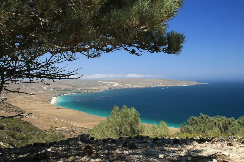 Photo: Recreation.gov (RIDB) / public domain
- 16
- sites
- Jan–Dec
- best months
Is Santa Rosa Island open right now?
Closure reported
The National Park Service lists a closure that covers Santa Rosa Island.
Parts of Santa Rosa Island Closed During Wildfire Recovery
Park closure covering Channel Islands National Park · NPS · Channel Islands National Park
As of · Source: NPS · Channel Islands National Park. Agencies don't list every closure — check before you go.
- 16 sites for tent campingReservable on Recreation.gov
- At 117 ft
- Near VenturaChannel Islands National Park
Tucked away in a canyon to protect visitors from strong northwest winds, Water Canyon Campground offers exceptional island views, access to spectacular hiking opportunities and a nearby white sand beach. Located 40 nautical miles from the Channel Islands National Park visitor center in Ventura, Santa Rosa is the second largest island in California at approximately 53,000 acres in size. The island landforms support a diverse array of plant and animal species including six plant species found nowhere on earth but Santa Rosa Island. The island also hosts over 100 bird and three land mammal species, including the endemic island fox.
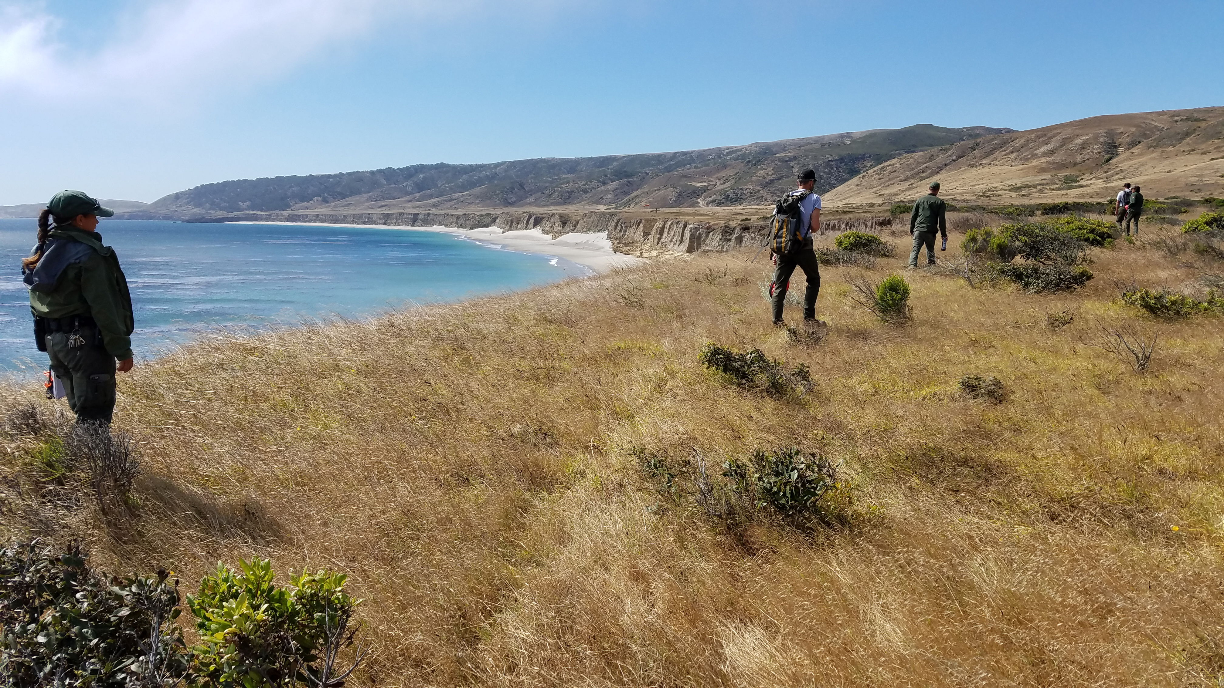 Becher's Bay Coastal Trail HikeHiking0.9 mi
 Santa Rosa Island Backcountry Beach CampingPier fishingPhoto: Recreation.gov (RIDB) / public domain2.6 mi
Source: Roamze catalog (indexable pages within 10 miles, PostGIS distance)
- Anacapa IslandCamping · ~1h 7m drive
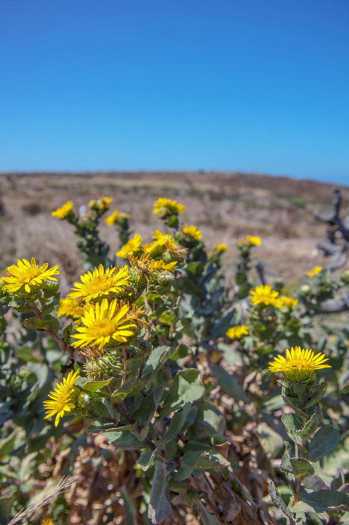 Anacapa CampgroundCamping · ~1h 7m drivePhoto: RuggyBearLA — CC BY-SA 2.0 (via Flickr)
- Fremont CampgroundCamping · ~1h 9m drive
- Los PrietosCamping · ~1h 9m drive
- Sage HillCamping · ~1h 10m drive
 Cachuma Lake Recreation AreaCamping · ~1h 10m drivePhoto: bdearth — CC BY 2.0 (via Flickr)
- Upper Oso CampgroundCamping · ~1h 13m drive
- San Miguel IslandCamping · ~30 min drive
- Santa Cruz Del Norte BackcountryCamping · ~38 min drive
- Upper Scorpion CampgroundCamping · ~48 min drive
Best time to visit Santa Rosa Island
Best months: Year-round. Best months have typical highs of 55–85 °F, lows of 30 °F or warmer (32 °F where the station doesn't record snow), at most one snowy day and no more than 12 wet days.
Jan
63° / 43°
Feb
62° / 44°
Mar
65° / 46°
Apr
65° / 48°
May
68° / 51°
Jun
68° / 54°
Jul
71° / 57°
Aug
72° / 56°
Sep
71° / 56°
Oct
72° / 51°
Nov
67° / 46°
Dec
63° / 42°
Typical high / low (°F) and days with rain or snow, 1991–2020. Measured at Santa Barbara 11 W, CA, 30.7 mi away at 18 ft. This station doesn't record snowfall. Source: NOAA NCEI U.S. Climate Normals 1991–2020.
Closures we've recorded since August 2026
Parts of Santa Rosa Island Closed During Wildfire Recovery
Channel Islands National Park · seen Aug 23, 2026, no lift recorded · National Park Service
Facts about this campground
Rules & access
- Fee
- No fee
Source: National Park Service API; Recreation.gov (RIDB)
Santa Rosa Island
16 sites for tent camping
