Lottie Potrero
- Jan–Dec
- best months
Is Lottie Potrero open right now?
Closure in the area
There's a closure order in Monterey Ranger District. It doesn't name Lottie Potrero, so check the source for the area it covers.
Monterey Ranger District Emergency Closure Order with Exceptions
Agency closure covering Monterey Ranger District · Order 05-07-51-26-11 · USFS · Monterey Ranger District
Los Padres Fire Use and Firearm Restrictions
Agency alert covering Los Padres National Forest · Order 05-07-00-26-05 · USFS · Los Padres National Forest
San Carpoforo Beach Prohibition of Overnight Camping and Campfires
Agency alert covering Monterey Ranger District · Order 05-07-51-26-03 · USFS · Monterey Ranger District
Santa Barbara Front Country Fire Use Restrictions
Agency alert covering Los Padres National Forest · Order 05-07-5406-01 · USFS · Los Padres National Forest
As of · Source: USFS · Monterey Ranger District. Agencies don't list every closure — check before you go.
- At 2,127 ft
- Silver Peak WildernessMonterey Ranger District · Los Padres National Forest
Lottie Potrero is a campground in California at about 2,127 feet. It is managed by the U.S. Forest Service.
- Lottie Potrero TrailHiking0.1 mi
- DutraHiking2.5 mi
- Three Peaks TrailHiking2.5 mi
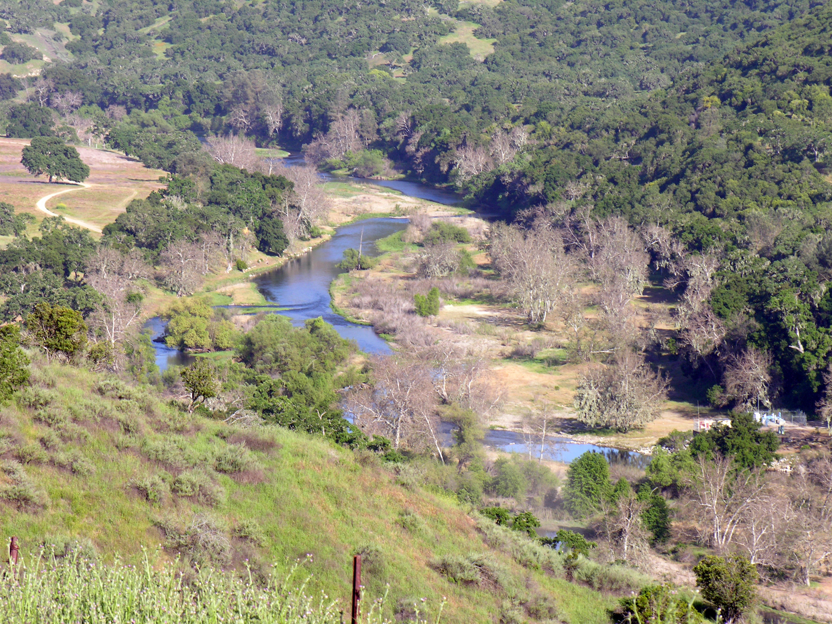 Nacimiento RiverCanoeingPhoto: Kjkolb, CC BY 2.5 (via Wikimedia Commons)3.5 mi
- Mount MarsSummit5 mi
- Silver PeakSummit5.6 mi
- Ragged Point Trail and OverlookBeach5.8 mi
- San Carpoforo BeachBeach6.4 mi
Source: Roamze catalog (indexable pages within 10 miles, PostGIS distance)
- Plaskett Creek CampgroundCamping · ~22 min drive
- Three Peaks CampCamping · ~5 min drive
- ElkCamping · ~5 min drive
- Turkey Springs CampCamping · ~5 min drive
- San CarpoforoCamping · ~6 min drive
- Dutra Flat CampgroundCamping · ~6 min drive
- Estrella CampCamping · ~8 min drive
- Spruce Creek CampCamping · ~8 min drive
- Silver Peak CampCamping · ~10 min drive
- Buckeye CampCamping · ~11 min drive
Also worth it near here
 Lottie PotreroHiking · ~4 min drivePhoto: Farhill, CC BY-SA 2.0 (via Flickr)
- Nacimiento RiverCanoeing · ~6 min drivePhoto: Kjkolb, CC BY 2.5 (via Wikimedia Commons)
- Woodrow ReservoirLake fishing · ~7 min drive
- Ragged Point Trail and OverlookBeach · ~10 min drive
- Route 1 - Big Sur Coast HighwayScenic drive · ~10 min drive
Best time to visit Lottie Potrero
Best months: Year-round. Best months have typical highs of 55–85 °F, lows of 30 °F or warmer (32 °F where the station doesn't record snow), at most one snowy day and no more than 12 wet days.
Jan
60° / 47°
8 wet
Feb
60° / 45°
8 wet
Mar
62° / 47°
8 wet
Apr
65° / 47°
5 wet
May
69° / 52°
2 wet
Jun
73° / 55°
1 wet
Jul
75° / 57°
0 wet
Aug
77° / 58°
0 wet
Sep
78° / 60°
1 wet
Oct
74° / 56°
3 wet
Nov
66° / 50°
5 wet
Dec
59° / 46°
8 wet
Typical high / low (°F) and days with rain or snow, 1991–2020. Measured at Hearst Castle, CA, 11.9 mi away at 1,526 ft. The station sits about 600 ft lower than this place, so expect it a little cooler here. Source: NOAA NCEI U.S. Climate Normals 1991–2020.
Map and trail data © OpenStreetMap contributors
