Loading…

Free — you'll pick up right here.
Watch this campground
Sign up to watch it — saving subscribes you to gate, closure and report changes.
California
We won't guess. Here is exactly what we do and don't know.
What we do know
Inside Eldorado National Forest
2 managing-area boundaries mapped — agency alerts for them feed this page automatically.
Boundary data
What's missing
No access route mapped
We don't yet know which road reaches this trailhead, so we can't tell you if it's gated.
Nobody's filed a report here yet — be the first.
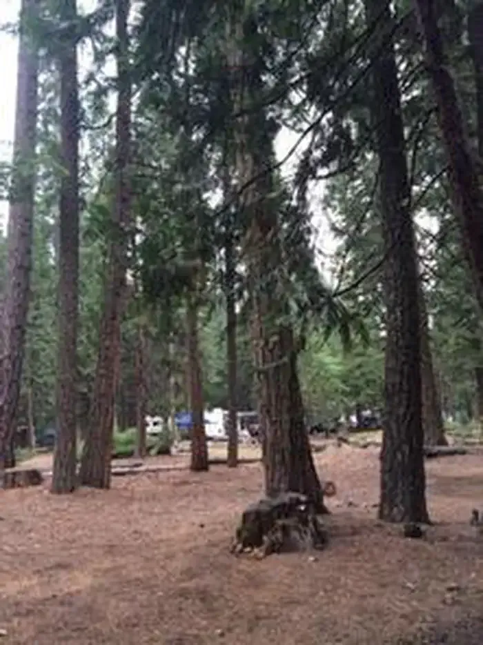
Airport Flat Campground
AI-suggested draft · review before you go
Location: 23 miles east of Placerville on Highway 50 then 24 miles north on Ice House Road (Forest Road 3), and 3 miles north on Forest Road 33. Sites are arranged into pods to accommodate groups of 15 – 25 people. Airport Flat Campground Recreation Opportunity Guide (ROG) - This guide contains information, maps, and directions to assist you in enjoying your trip to the Eldorado National Forest.
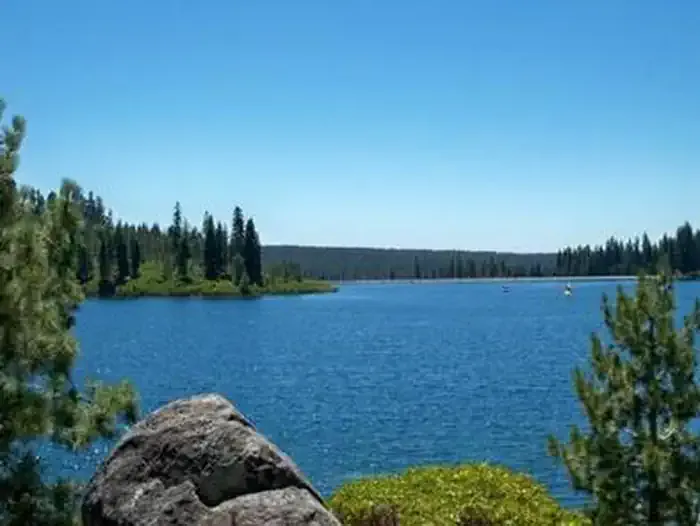
GERLE CREEK
~2 min drive
A worthwhile stop near California.
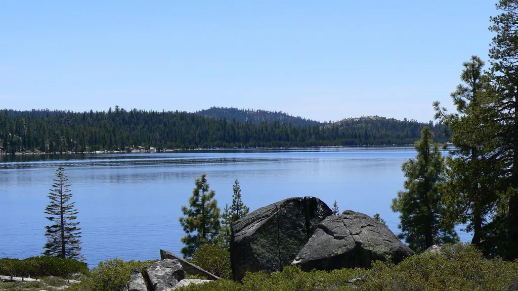
LOON LAKE
~5 min drive
A worthwhile stop near California.
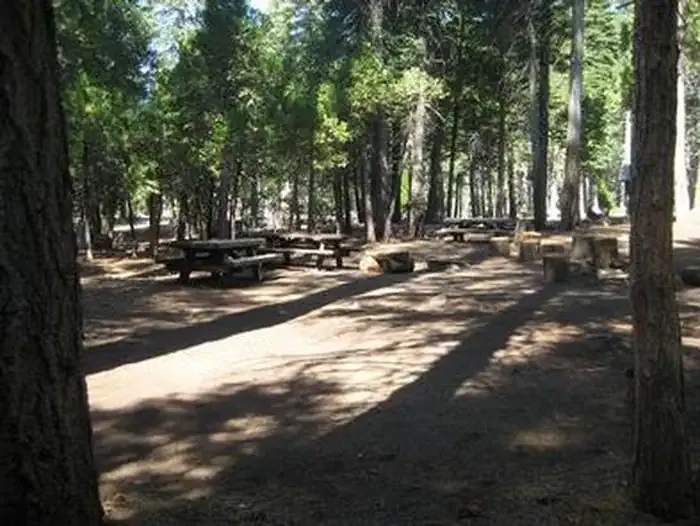
South Fork Group - Eldorado NF (CA)
~5 min drive
A worthwhile stop near California.
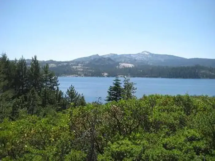
RED FIR
~7 min drive
A worthwhile stop near California.
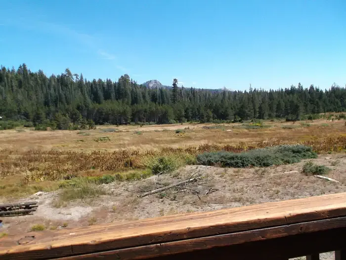
VAN VLECK BUNKHOUSE
~8 min drive
A worthwhile stop near California.
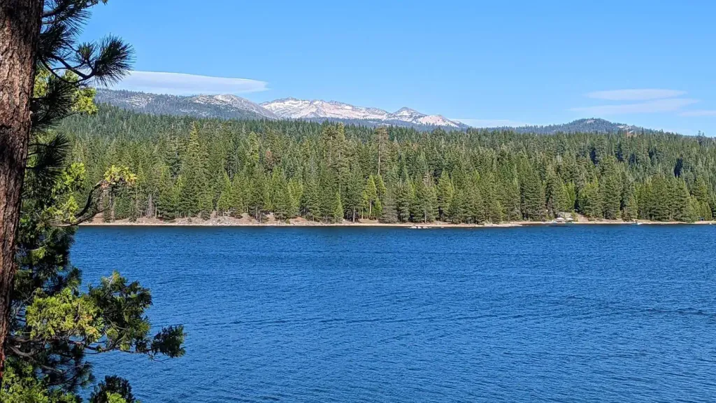
YELLOWJACKET
~11 min drive
A worthwhile stop near California.
WENCH CREEK
~11 min drive
A worthwhile stop near California.
Airport Flat Campground
~0 min drive
A worthwhile stop nearby.
Gerle Creek Cg
~2 min drive
A worthwhile stop near California.
Gerle Creek Campground
~2 min drive
A worthwhile stop nearby.