Path to Shore 2 (Mesa Road)
About
Path to Shore 2 (Mesa Road) is a public ocean beach within Point Reyes National Seashore in California, about 0.6 miles from the town of Bolinas. Access to the shore is free. For the most settled weather, aim for late spring through early fall. The Kentfield weather station, about 10 miles away, typically averages highs around 74°F in May and low 80s from July through September, with nearly no wet days in July and August. Winter months there average about 11 wet days and highs in the upper 50s. Close by are the Ridge Trail, about a mile away, and the Palomarin Beach Trail and Pablo Point Trail, both roughly 2 miles off. Climbers can find ATF Boulder about 6 miles away.
Beach Details
Lifeguards
None
Parking
Available
Fee
Free
Restrooms
None
As published by the managing agency. Lifeguards, fees and dog rules are often seasonal, so check posted signs before you swim.
Location
Path to Shore 2 (Mesa Road)
California
Data: California Coastal Commission, YourCoast public access data. Source metadata
Facts about this place
When to go
Best time to go: Feb–Nov. The mildest months here, with typical highs of 61–83°F and lows of 43–54°F.
Typical monthly averages (not a forecast) from the Kentfield, CA weather station, 9.9 mi away. High / low in °F, and days with snow.
- Jan57° high42° low
- Feb61° high43° low
- Mar65° high44° low
- Apr69° high46° low
- May74° high50° low
- Jun80° high52° low
- Jul83° high53° low
- Aug83° high54° low
- Sep82° high53° low
- Oct76° high50° low
- Nov64° high45° low
- Dec56° high42° low
Where it is
- Point Reyes National Seashore · National Park Service
- Nearest town
- Bolinas, California · 0.6 mi
Source: NPS Land Resources boundaries; USGS GNIS populated places
Nearby
 Ridge TrailHikingPhoto: Kurt Minard, CC BY-SA 3.0 (via Wikimedia Commons)1.1 mi
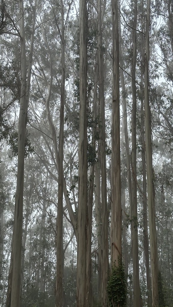 Palomarin Beach TrailHikingPhoto: lamblukas, CC BY 2.0 (via Flickr)2 mi
- Pablo Point TrailHikingPhoto: Kurt Minard, CC BY-SA 3.0 (via Wikimedia Commons)2.2 mi
- ATF BoulderRock climbing6.2 mi
- Bay View BoulderRock climbing6.3 mi
- Spirits WallRock climbing7.1 mi
 Lagunitas CreekCanoeingPhoto: Stepheng3, Public domain (via Wikimedia Commons)8 mi
- Nicasio CreekCanoeing9.7 mi
Source: Roamze catalog (indexable pages within 10 miles, PostGIS distance)
Is Path to Shore 2 (Mesa Road) open right now?
No closures listed
The National Park Service lists no closures for Point Reyes National Seashore.
As of · Source: NPS · Point Reyes National Seashore. Agencies don't list every closure — check before you go.
Best time to visit Path to Shore 2 (Mesa Road)
Best months: Year-round. Best months have typical highs of 55–85 °F, lows of 30 °F or warmer (32 °F where the station doesn't record snow), at most one snowy day and no more than 12 wet days.
Jan
57° / 42°
11 wet
Feb
61° / 43°
11 wet
Mar
65° / 44°
10 wet
Apr
69° / 46°
6 wet
May
74° / 50°
4 wet
Jun
80° / 52°
1 wet
Jul
83° / 53°
0 wet
Aug
83° / 54°
0 wet
Sep
82° / 53°
1 wet
Oct
76° / 50°
4 wet
Nov
64° / 45°
8 wet
Dec
56° / 42°
11 wet
Typical high / low (°F) and days with rain or snow, 1991–2020. Measured at Kentfield, CA, 9.9 mi away at 145 ft. We don't have this place's elevation, so higher spots nearby can run cooler. Source: NOAA NCEI U.S. Climate Normals 1991–2020.
