Cossatot River State Park
Cossatot River State Park is a state park in Arkansas, about 5 miles from the town of Wickes. It serves as a base for exploring the surrounding trails, paddling routes and campgrounds, with several outdoor options within a short drive. Spring and fall are the most comfortable times to visit. Typical averages from a nearby weather station show October highs around 69°F with lows near 52°F, and April is similar at about 69°F by day and 50°F at night. Midsummer highs typically reach the upper 80s. The River Corridor Trail lies about 5.5 miles away, and Caney Creek is roughly 6.7 miles off. Paddlers can head to the Cossatot River, about 7 miles away, and Little Coon Creek Park offers camping about 7.8 miles from the park.
Park size
4,428 acres
Inside this park
- River Corridor TrailHiking5.5 mi
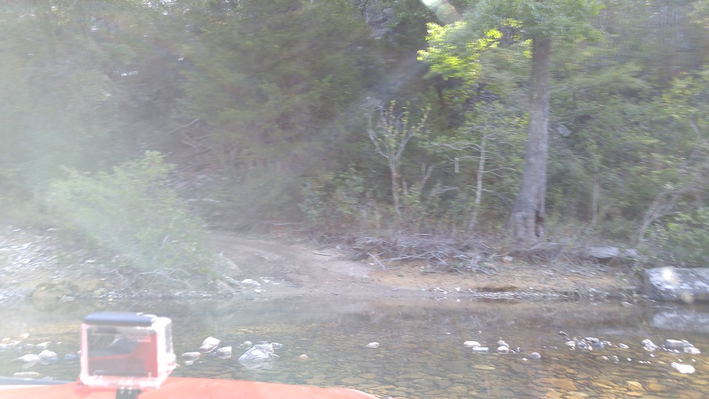 Caney CreekHikingPhoto: thigpen.robert, CC BY-SA 2.0 (via Flickr)6.7 mi
 Cossatot RiverCanoeingPhoto: Jamie Camp, U.S. Army Corps of Engineers, Public domain (via Wikimedia Commons)7 mi
- Little Coon Creek ParkCamping7.8 mi
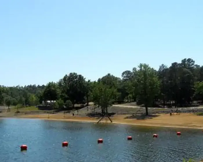 Big Coon CreekCampingPhoto: Recreation.gov (RIDB) / public domain8.4 mi
- Harris CreekCanoeing9.5 mi
- Cossatot ReefsCamping9.5 mi
Source: Roamze catalog (indexable pages within 10 miles, PostGIS distance)
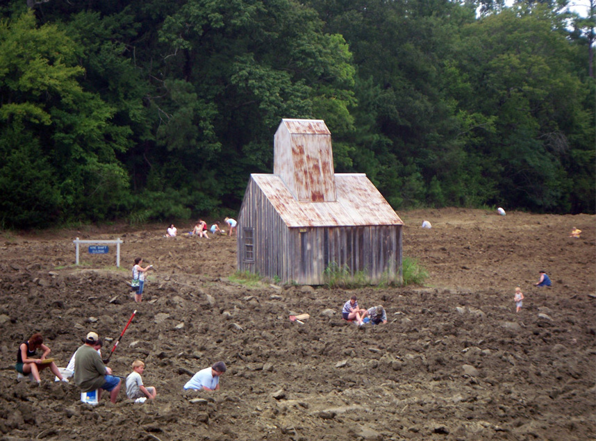 Crater Of Diamonds State ParkState park · ~1h 8m drivePhoto: Doug Wertman from Rogers, AR, USA, CC BY 2.0 (via Wikimedia Commons)
- Queen Wihelmina State ParkState park · ~42 min drive
- Beavers Bend State Resort ParkState park · ~50 min drive
- Hochatown State ParkState park · ~50 min drive
- Daisy State ParkState park · ~52 min drive
- Millwood State ParkState park · ~1h 21m drive
Also worth it near here

