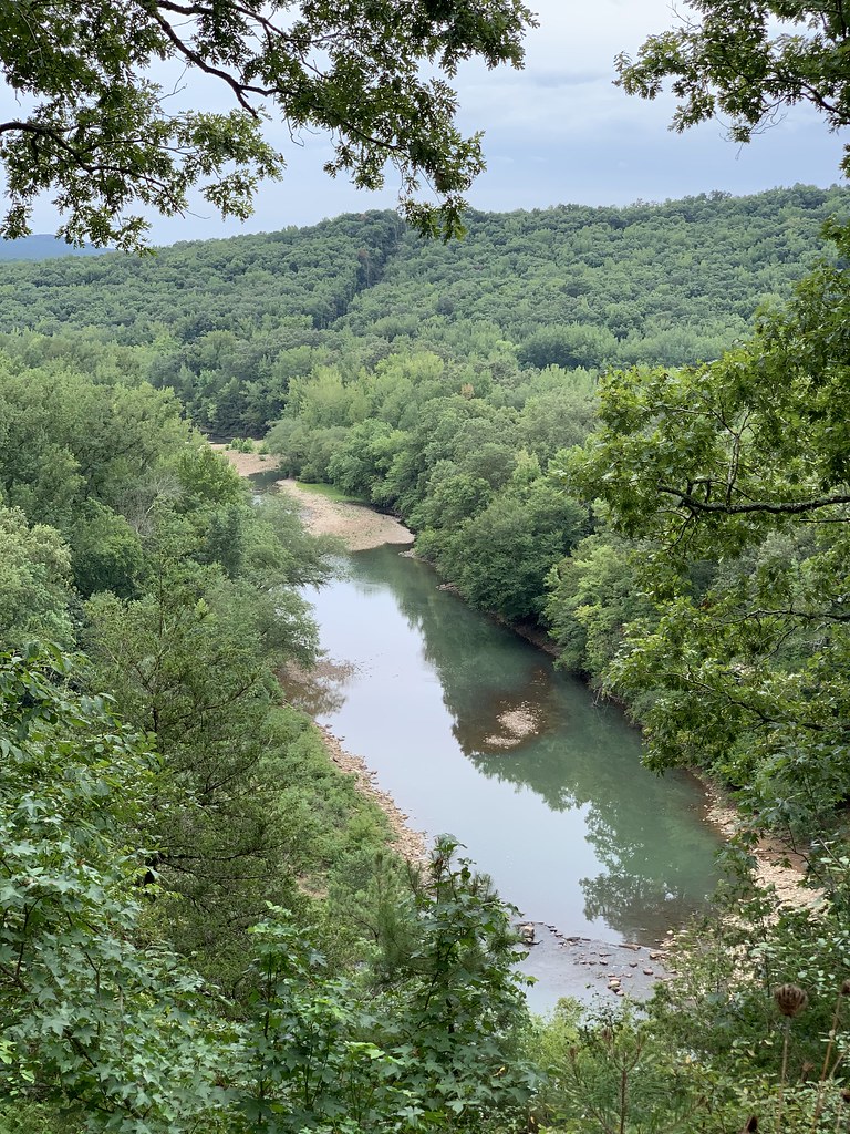
Spy Rock
Spy Rock in Arkansas has 8 climbing routes across 7 grades, offering sport and trad options.
- 8 routes
- 5.7 – 5.12-
- Trad · Sport
Is Spy Rock open right now?
Closure in the area
There's a closure order in Ozark-St. Francis National Forest. It doesn't name Spy Rock, so check the source for the area it covers (9 listed).
Ozark Highlands Trail Access During ARDOT Hwy 123 Big Piney Creek Bridge Reconstruction
Agency closure covering Ozark-St. Francis National Forest · USFS · Ozark-St. Francis National Forest
Wildfire Risk Increases in Arkansas and Oklahoma
Agency closure covering Ozark-St. Francis National Forest · USFS · Ozark-St. Francis National Forest
Spring Lake Recreation Area Closed For Rest of 2026 Season
Agency closure covering Ozark-St. Francis National Forest · USFS · Ozark-St. Francis National Forest
Lake Wedington Recreation Area Water Line Project
Agency closure covering Ozark-St. Francis National Forest · USFS · Ozark-St. Francis National Forest
Morgan Mtn Rd Partially Closed for Road Repair
Agency closure covering Ozark-St. Francis National Forest · USFS · Ozark-St. Francis National Forest
As of · Source: USFS · Ozark-St. Francis National Forest. Agencies don't list every closure — check before you go.
Best time to visit Spy Rock
Best months: March–May and September–November. Best months have typical highs of 55–85 °F, lows of 30 °F or warmer (32 °F where the station doesn't record snow), at most one snowy day and no more than 12 wet days.
Jan
48° / 28°
7 wet
Feb
54° / 32°
7 wet
Mar
62° / 39°
9 wet
Apr
71° / 48°
9 wet
May
79° / 57°
10 wet
Jun
87° / 66°
9 wet
Jul
92° / 70°
8 wet
Aug
91° / 69°
7 wet
Sep
84° / 62°
6 wet
Oct
73° / 50°
8 wet
Nov
61° / 39°
8 wet
Dec
51° / 32°
7 wet
Typical high / low (°F) and days with rain or snow, 1991–2020. Measured at Ozark 2, AR, 14.2 mi away at 830 ft. The station sits about 800 ft lower than this place, so expect it a little cooler here. This station doesn't record snowfall. Source: NOAA NCEI U.S. Climate Normals 1991–2020.
Spy Rock is a climbing area in the Pleasant Hill Ranger District of the Ozark-St. Francis National Forest in Arkansas, managed by the Forest Service. It sits about 14 miles from the town of Ozark, with several trails and other climbing spots within a few miles. Spring and fall are the most comfortable times to visit. Typical averages from a nearby weather station show October highs around 73°F with lows near 50°F, and April runs about 71°F by day and 48°F at night. That station sits well below the area, so temperatures up here tend to run cooler. Spy Rock Trail starts just 0.3 miles away, and Redding Loop West is about 0.6 miles off. Redding Campground is roughly 1.7 miles away. For more climbing, the DeSoto Bouldering Area lies about 4.8 miles away.
Keep exploring — more climbs worth the drive
DeSoto Bouldering Area
~8 min drive
DeSoto Bouldering Area in Arkansas has 15 bouldering routes with 9 difficulty grades.
Zone 13
~12 min drive
Zone 13 in Arkansas has 5 bouldering routes across 3 difficulty grades.
Bigfoot Hollow
~12 min drive
Bigfoot Hollow in Arkansas has 10 bouldering routes across 7 grades.
The Boneyard
~13 min drive
Boneyard is a bouldering crag in Arkansas with 11 routes.
Bigfoot Proper
~13 min drive
Bigfoot Proper is an Arkansas climbing crag with 8 routes: bouldering pads and sport.
MMA Wall
~13 min drive
MMA Wall in Arkansas has 13 sport climbing routes across 12 grades.
Area 51
~13 min drive
Area 51 in Arkansas has 3 climbing routes across 3 grades, offering sport and trad options.
Space Wall
~13 min drive
Space Wall in Arkansas has 7 climbing routes with 6 difficulty grades.
Rhyme or Reason Wall
~13 min drive
Rhyme or Reason Wall in Arkansas has 16 climbing routes with 11 difficulty grades, offering sport and trad options.
Area 51 Bouldering
~13 min drive
Area 51 Bouldering in Arkansas has 6 routes across 4 grades with bouldering pads, mixed, and trad.
Also worth it near here