Spring Creek
- 0.2 mi
- distance
- 178 ft
- high point
- Mar–May, Sep–Nov
- best months
Spring Creek is a 0.2-mile paddling stretch near Marianna, Arkansas, about a mile from the town of Big Creek Corner. It's a short, year-round route for canoeists and paddlers, with USGS models putting the average flow at about 48 cubic feet per second. Spring and fall are the most comfortable times to paddle. Typical averages from a nearby weather station show April highs around 72°F and October highs around 75°F, while July and August average about 91°F. For more paddling in the area, Big Creek lies about 4.7 miles away.
Source: Roamze catalog (indexable pages within 10 miles, PostGIS distance)
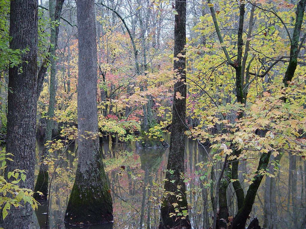 Bayou De ViewCanoeing · ~53 min drivePhoto: Unknown author, Public domain (via Wikimedia Commons)
- Bear Creek Lake Recreation AreaTubing · ~22 min drive
- Pleasant Hill Public Use Area Boat LaunchBoat launch · ~1h 20m drive
 Big Sunflower RiverCanoeing · ~58 min drivePhoto: Richard apple, CC BY-SA 3.0 (via Wikimedia Commons)
 Cache RiverCanoeing · ~1h 23m drivePhoto: Cyndy Sims Parr, CC BY-SA 2.0 (via Wikimedia Commons)
- Big CreekCanoeing · ~8 min drive
- Big Cypress CreekCanoeing · ~23 min drive
- Yellow Bank BayouCanoeing · ~43 min drive
- Frenchman BayouCanoeing · ~45 min drive
- Gauzley BayouCanoeing · ~49 min drive
Best time to visit Spring Creek
Best months: March–May and September–November. Best months have typical highs of 55–85 °F, lows of 30 °F or warmer (32 °F where the station doesn't record snow), at most one snowy day and no more than 12 wet days.
Jan
49° / 32°
10 wet
Feb
54° / 35°
9 wet
Mar
63° / 43°
11 wet
Apr
72° / 52°
9 wet
May
81° / 62°
10 wet
Jun
88° / 69°
8 wet
Jul
91° / 72°
7 wet
Aug
91° / 70°
7 wet
Sep
85° / 63°
6 wet
Oct
75° / 52°
7 wet
Nov
62° / 42°
9 wet
Dec
52° / 35°
10 wet
Typical high / low (°F) and days with rain or snow, 1991–2020. Measured at Marianna 2 S, AR, 9.4 mi away at 234 ft. Source: NOAA NCEI U.S. Climate Normals 1991–2020.

