Bayou Two Prairie
- 16.6 mi
- distance
- 297 ft
- high point
- Feb–May, Oct–Nov
- best months
Bayou Two Prairie is a 17-mile paddling stretch near Lonoke, Arkansas, with Furlow about 3 miles away. It runs as an intermittent route, and the water may dry up in some seasons. USGS models an average flow of about 226 cubic feet per second and a gradient of about 2.5 feet per mile. Spring and fall are the most comfortable times to go. Typical averages from a nearby weather station in Cabot run from highs around 73°F in April to about 76°F in October, while July and August average highs near 92°F. For more paddling close by, Bayou Meto lies about 7 miles away.
Source: Roamze catalog (indexable pages within 10 miles, PostGIS distance)
 Bayou MetoCanoeing · ~12 min drivePhoto: Richard apple, CC BY-SA 3.0 (via Wikimedia Commons)
- Bayou Meto Creek Canoe Trail W. Main AccessBoat launch · ~22 min drive
 Bayou Des ArcCanoeing · ~50 min drivePhoto: Brandonrush, CC BY-SA 4.0 (via Wikimedia Commons)
- Cook's Landing Arkansas River Boat LaunchBoat launch · ~42 min drive
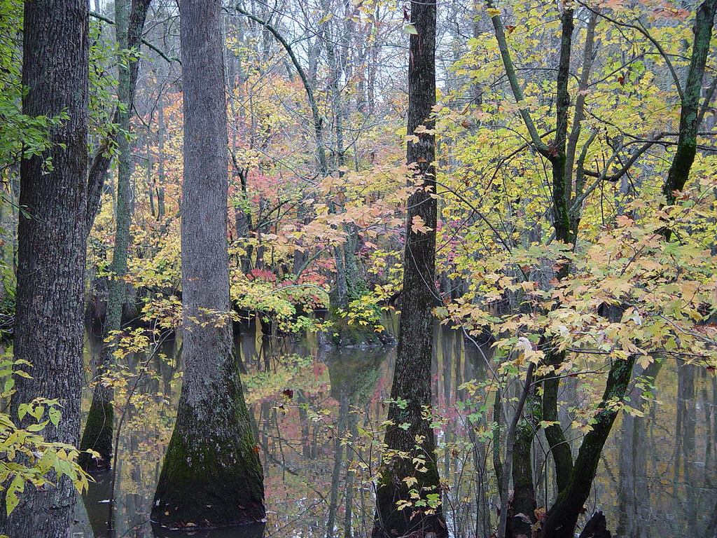 Bayou De ViewCanoeing · ~1h 17m drivePhoto: Unknown author, Public domain (via Wikimedia Commons)
- Adams Lake Boat RampBoat launch · ~47 min drive
- Wattensaw BayouCanoeing · ~17 min drive
- Adam's Lake Boat RampBoat launch · ~47 min drive
- Cypress BayouCanoeing · ~30 min drive
- Lobo AccessBoat launch · ~1h 12m drive
Best time to visit Bayou Two Prairie
Best months: February–May and October–November. Best months have typical highs of 55–85 °F, lows of 30 °F or warmer (32 °F where the station doesn't record snow), at most one snowy day and no more than 12 wet days.
Jan
51° / 28°
8 wet
Feb
56° / 31°
7 wet · 1 snow
Mar
64° / 39°
9 wet
Apr
73° / 47°
9 wet
May
81° / 57°
9 wet
Jun
89° / 66°
7 wet
Jul
92° / 69°
7 wet
Aug
92° / 68°
7 wet
Sep
86° / 61°
6 wet
Oct
76° / 48°
7 wet
Nov
64° / 38°
8 wet
Dec
54° / 31°
8 wet
Typical high / low (°F) and days with rain or snow, 1991–2020. Measured at Cabot, AR, 10.1 mi away at 300 ft. Source: NOAA NCEI U.S. Climate Normals 1991–2020.
