Wolf Pen Gap 1
- 9.0 mi
- round trip
- 1,349 ft
- climb
- 1,352 ft
- high point
- Out and back
- route
- Mar–Jun, Sep–Nov
- best months
Is Wolf Pen Gap 1 open right now?
Closure in the area
There's a closure order in Ouachita National Forest. It doesn't name Wolf Pen Gap 1, so check the source for the area it covers (5 listed).
Forest Service Road 209 Closed for Logging Activity
Agency closure covering Ouachita National Forest · USFS · Ouachita National Forest
Forest Service Road 6035 Closed for Construction
Agency closure covering Ouachita National Forest · USFS · Ouachita National Forest
Forest Service Road Closures on the Caddo-Womble Ranger District
Agency closure covering Ouachita National Forest · USFS · Ouachita National Forest
Wildfire Risk Increases in Arkansas and Oklahoma
Agency closure covering Ouachita National Forest · USFS · Ouachita National Forest
Hole in the Ground Hiking Trail Closed due to Logging Operations
Agency closure covering Ouachita National Forest · USFS · Ouachita National Forest
As of · Source: USFS · Ouachita National Forest. Agencies don't list every closure — check before you go.
Wolf Pen Gap 1 is a 9-mile out-and-back hike in the Mena Ranger District of Arkansas's Ouachita National Forest. The trail is a natural-surface route that starts and ends at the Gap Creek Trailhead, with the high point at 1,352 feet and the low at 1,084 feet. The climb is hardest at the start, where the trail reaches a 12% grade about half a mile from the trailhead, and the total elevation gain is 515 feet for the round trip. Spring and fall are the most comfortable times to go. Typical averages from a nearby weather station run to highs around 69°F in April and October, with lows near 50°F. Summer highs there reach the mid-80s. Several other Wolf Pen Gap trails sit within a short distance, including Wolf Pen Gap 6 West at 0.6 miles and Wolf Pen Gap 8 at 1.1 miles. For a change of pace, the Cossatot River offers canoeing about 5 miles away, and Shady Lake campground is roughly 10 miles off.
Local outfitters
- River View Cabins & Canoes23 mi away
- Beavers Bend Adventures39 mi away
Not on Roamze yet. Their page has how to reach them.
Best time to go · Mar–Jun, Sep–Nov
Best time to visit Wolf Pen Gap 1
Best months: March–June and September–November. Best months have typical highs of 55–85 °F, lows of 30 °F or warmer (32 °F where the station doesn't record snow), at most one snowy day and no more than 12 wet days.
Jan
47° / 32°
9 wet
Feb
53° / 35°
9 wet
Mar
61° / 42°
10 wet
Apr
69° / 50°
9 wet
May
74° / 59°
10 wet
Jun
81° / 66°
9 wet
Jul
87° / 69°
8 wet
Aug
86° / 69°
8 wet
Sep
79° / 62°
7 wet
Oct
69° / 52°
8 wet
Nov
58° / 42°
8 wet
Dec
50° / 34°
9 wet
Typical high / low (°F) and days with rain or snow, 1991–2020. Measured at Big Fk 1 Sse, AR, 8 mi away at 1,200 ft. Source: NOAA NCEI U.S. Climate Normals 1991–2020.
Keep exploring — more trails worth the drive
 Photo: thigpen.robert, CC BY-SA 2.0 (via Flickr)
Wolf Pen Gap 8
~2 min drive
3.33-mile out-and-back trail in Arkansas with 471 ft gain.
 Photo: thigpen.robert, CC BY-SA 2.0 (via Flickr)
Wolf Pen Gap 614
~6 min drive
1.88-mile loop trail in Arkansas with 478 ft elevation gain.
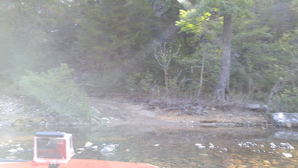 Photo: thigpen.robert, CC BY-SA 2.0 (via Flickr)
Caney Creek
~8 min drive
19.20-mile out-and-back trail in Arkansas with 1,308 ft gain.
HIKE
Viles Branch
~23 min drive
46.6-mile out-and-back trail in Arkansas with 1,749 ft elevation gain.
Photo: thigpen.robert, CC BY-SA 2.0 (via Flickr)Wolf Pen Gap 8
~3 min drive
9.38-mile out-and-back trail in Arkansas with 603 ft elevation gain.
Photo: thigpen.robert, CC BY-SA 2.0 (via Flickr)Wolf Pen Gap 826
~6 min drive
Wolf Pen Gap 826 is a 1.16-mile out-and-back trail in Arkansas with 210 ft of elevation gain.
 Photo: SlapTheWorld, Public Domain Dedication (CC0) (via Flickr)
Rich Mountain
~30 min drive
15.88-mile out-and-back trail in Arkansas with 1,162 ft elevation gain.
 Photo: azoeart, CC BY-SA 2.0 (via Flickr)
Viles Branch Horse Trail
~26 min drive
3.40-mile out-and-back horse trail in Arkansas with 658 ft gain.
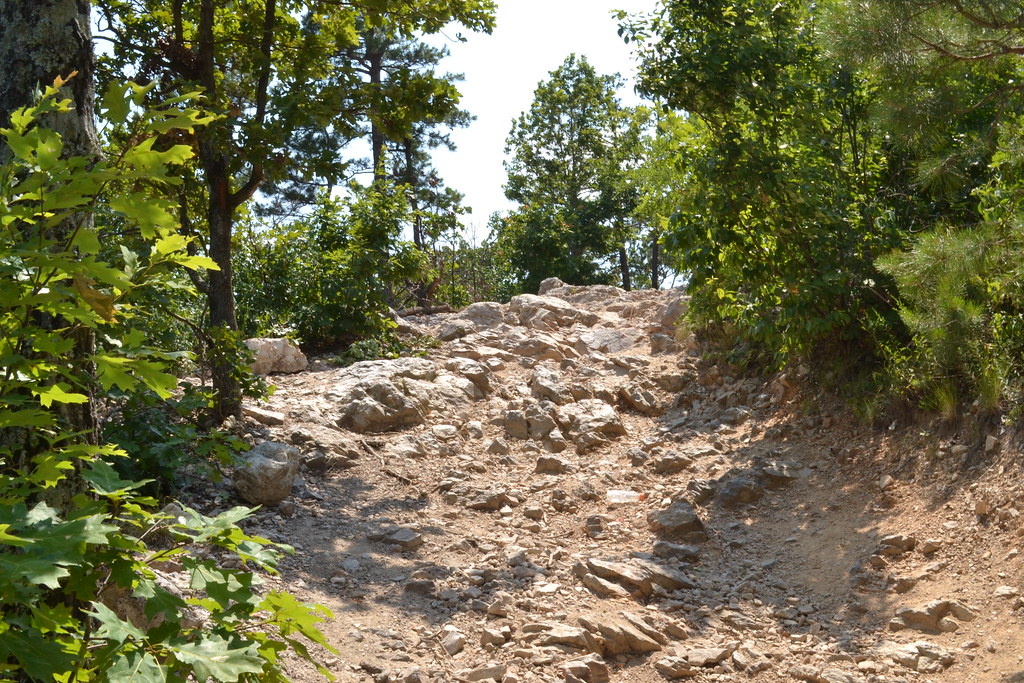 Photo: thigpen.robert, CC BY-SA 2.0 (via Flickr)
Wolf Pen Gap 6 East
~6 min drive
6.62-mile out-and-back trail in Arkansas with 368 ft of elevation gain.
HIKE
Wolf Pen Gap 2
~4 min drive
3.12-mile out-and-back trail in Arkansas with 363 ft elevation gain.

