Camp Area D
- Yes
- fee
- Mar–May, Sep–Nov
- best months
Clear at last check
Weather is good · OpenWeather · checked 14 h ago
- At 300 ft
- Greers Ferry Recreation Area
Camp Area D is a campground in Arkansas at about 300 feet. It is managed by the U.S. Army Corps of Engineers.
- Mossy BluffRock climbing0.8 mi
- Creek BedRock climbing0.8 mi
- Fall Out BoulderRock climbing0.8 mi
- Little Red RiverRiver fishing0.8 mi
 Summit TrailHikingPhoto: kdwood2, CC BY-SA 2.0 (via Flickr)1.2 mi
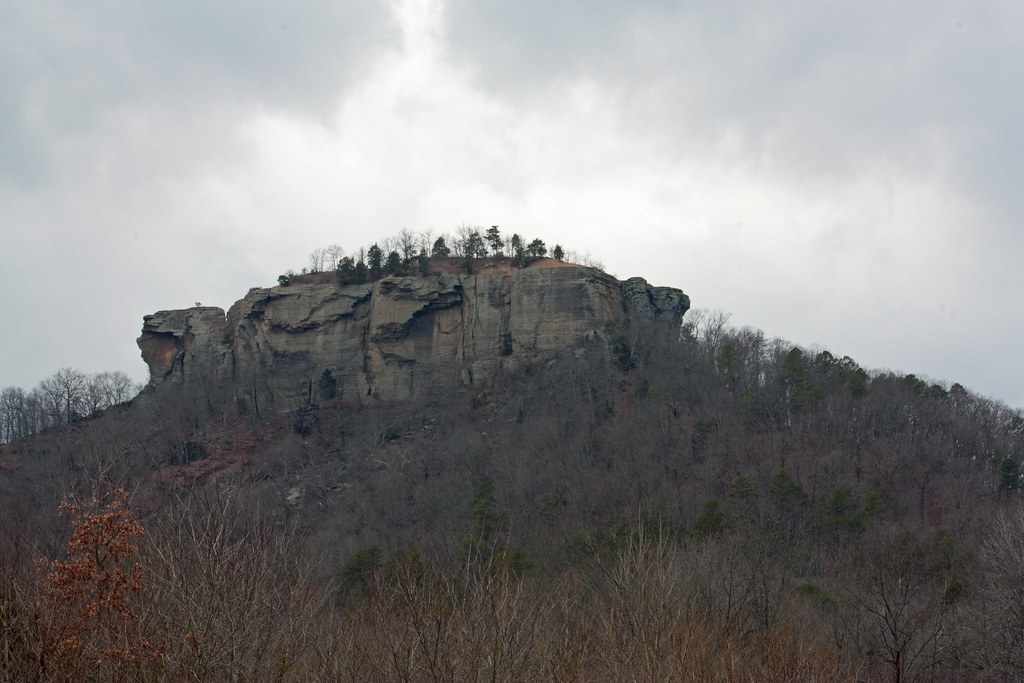 Tonawanda Base TrailHikingPhoto: kdwood2, CC BY-SA 2.0 (via Flickr)1.2 mi
- Bridal Veil FallsWaterfall4 mi
- Lobo AccessBoat launch5.1 mi
Source: Roamze catalog (indexable pages within 10 miles, PostGIS distance)
- Blanchard Springs Recreation AreaCamping · ~58 min drive
- Camp Area CCamping · Next door
- Camp Area BCamping · Next door
- Camp Area ACamping · Next door
- John F KennedyCamping · Next door
- Dam Site CampgroundCamping · ~2 min drive
- Heber SpringsCamping · ~8 min drive
- ShilohCamping · ~15 min drive
- Hill CreekCamping · ~20 min drive
- Devils ForkCamping · ~21 min drive
Best time to visit Camp Area D
Best months: March–May and September–November. Best months have typical highs of 55–85 °F, lows of 30 °F or warmer (32 °F where the station doesn't record snow), at most one snowy day and no more than 12 wet days.
Jan
48° / 28°
8 wet
Feb
54° / 31°
8 wet
Mar
62° / 38°
9 wet
Apr
72° / 47°
9 wet
May
79° / 57°
10 wet
Jun
87° / 66°
8 wet
Jul
91° / 69°
8 wet
Aug
91° / 68°
8 wet
Sep
84° / 61°
7 wet
Oct
73° / 49°
8 wet
Nov
61° / 39°
8 wet
Dec
51° / 31°
9 wet
Typical high / low (°F) and days with rain or snow, 1991–2020. Measured at Greers Ferry Dam, AR, 0.9 mi away at 527 ft. Source: NOAA NCEI U.S. Climate Normals 1991–2020.
Map and trail data © OpenStreetMap contributors
