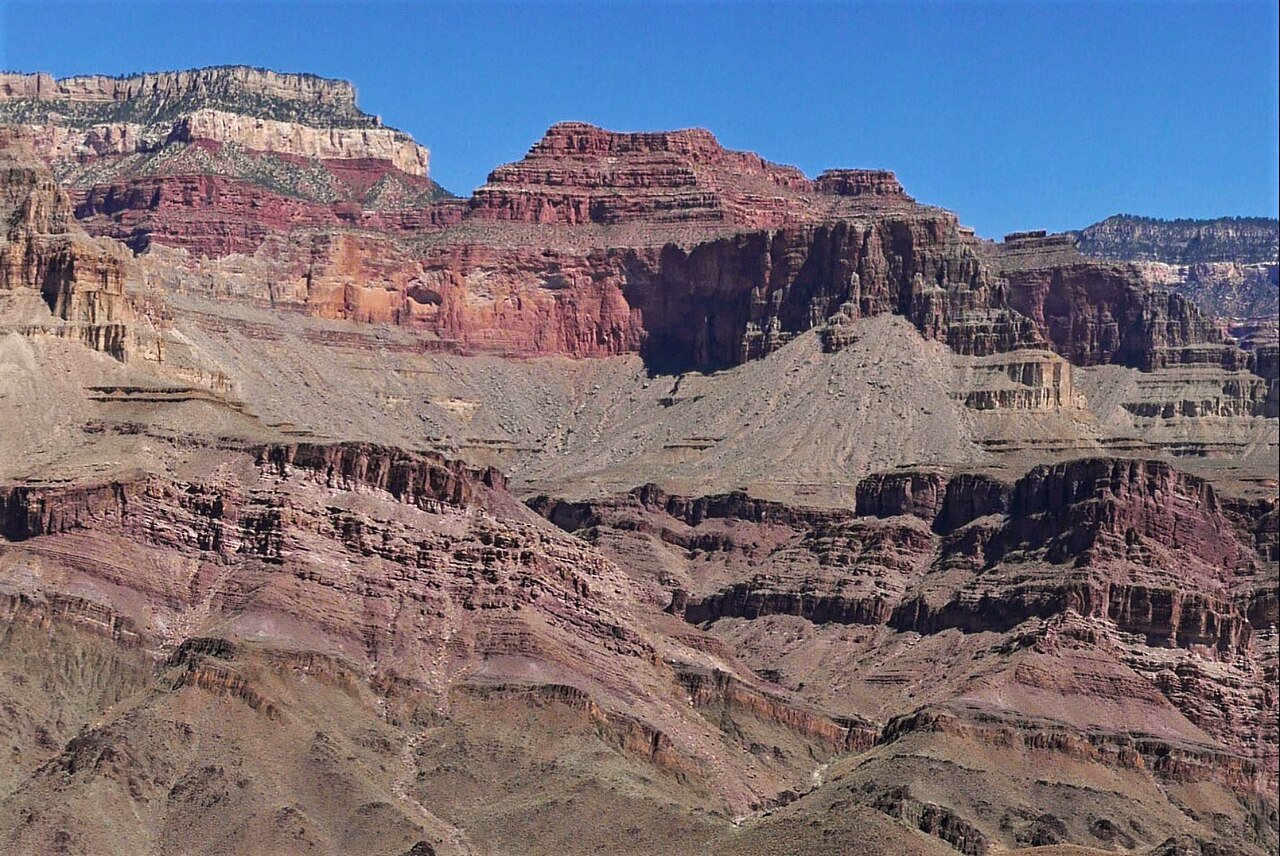
Deer Creek Falls
- 2,229 ft
- elevation
- National Park Service
- managed by
- Oct–Apr
- best months
Is Deer Creek Falls open right now?
Closure in the area
There's a closure order in Grand Canyon National Park. It doesn't name Deer Creek Falls, so check the source for the area it covers.
INNER CANYON TRAIL CLOSURES
Park closure covering Grand Canyon National Park · NPS · Grand Canyon National Park
Overnight Lodging Suspended and Parkwide Stage 4 Water Restrictions
Park alert covering Grand Canyon National Park · NPS · Grand Canyon National Park
INNER CANYON WATER SHUTOFFS
Park alert covering Grand Canyon National Park · NPS · Grand Canyon National Park
Critical Backcountry Updates/Closures
Park alert covering Grand Canyon National Park · NPS · Grand Canyon National Park
As of · Source: NPS · Grand Canyon National Park. Agencies don't list every closure — check before you go.
Deer Creek Falls is a waterfall in Grand Canyon National Park in Arizona, managed by the National Park Service. It sits at about 2,229 feet, and the nearest town is Supai, roughly 15 miles away. Spring and fall are the most comfortable times to visit. Typical averages from a nearby weather station show April highs around 81°F and October highs around 82°F, while June and July average in the low 100s. Several trails start close by. Surprise Valley and Deer Creek Trail are each about 1.6 miles away, and Thunder River Trail is about 1.9 miles away. Tapeats Creek Trail is about 3.2 miles away.
- Elevation
- 2,229 ft
- Land manager
- National Park Service
Elevation from USGS 3D Elevation Program terrain data (about 10 m resolution).
 Surprise ValleyHikingPhoto: Grand Canyon National Park, CC BY 2.0 (via Wikimedia Commons)1.6 mi
- Deer Creek TrailHikingPhoto: Grand Canyon National Park, CC BY 2.0 (via Wikimedia Commons)1.6 mi
- Thunder River TrailHiking1.9 mi
- Tapeats Creek TrailHiking3.2 mi
- Bill Hall TrailHiking5.4 mi
 Rainbow RimHikingPhoto: Kaibab National Forest, CC BY-SA 2.0 (via Wikimedia Commons)8.1 mi
- Powell Plateau TrailHiking9.4 mi
- Sowats Springs Trail #14Hiking9.5 mi
Source: Roamze catalog (indexable pages within 10 miles, PostGIS distance)
 Havasu FallsWaterfall · ~24 min drivePhoto: Gonzo fan2007, CC BY-SA 3.0 (via Wikimedia Commons)
- Mooney FallsWaterfall · ~24 min drive
- Navajo FallsWaterfall · ~25 min drive
- Beaver FallsWaterfall · ~25 min drive
- Fiftyfoot FallsWaterfall · ~25 min drive
- Ribbon FallsWaterfall · ~51 min drive
- Cheyava FallsWaterfall · ~59 min drive
- Whitmore RapidsWaterfall · ~1h 12m drive
Also worth it near here
Best time to visit Deer Creek Falls
Best months: October–April. Best months have typical highs of 55–85 °F, lows of 30 °F or warmer (32 °F where the station doesn't record snow), at most one snowy day and no more than 12 wet days.
Jan
57° / 35°
5 wet
Feb
63° / 40°
6 wet
Mar
73° / 45°
5 wet
Apr
81° / 52°
4 wet
May
91° / 61°
3 wet
Jun
102° / 70°
2 wet
Jul
104° / 75°
5 wet
Aug
101° / 72°
7 wet
Sep
94° / 66°
5 wet
Oct
82° / 55°
4 wet
Nov
68° / 44°
3 wet
Dec
56° / 36°
5 wet
Typical high / low (°F) and days with rain or snow, 1991–2020. Measured at Phantom Rch, AZ, 30.2 mi away at 2,530 ft. This station doesn't record snowfall. Source: NOAA NCEI U.S. Climate Normals 1991–2020.