Groom Creek Schoolhouse
Campground
Campground · 1.9 mi from the trail
Closure in the area
There's a closure order in Bradshaw Ranger District. It doesn't name Watershed Trail #299, so check the source for the area it covers (2 listed).
Lynx Lake Boat Ramp and Trail Closure Order
Agency closure covering Bradshaw Ranger District · Order 03-09-03-26-12 · USFS · Bradshaw Ranger District
NFS Road 354 Closure Order #03-07-26-02
Agency closure covering Prescott National Forest · Order 03-07-26-02 · USFS · Prescott National Forest
As of · Source: USFS · Bradshaw Ranger District. Agencies don't list every closure — check before you go.
Watershed Trail #299 is a mountain biking route in Arizona's Prescott National Forest, within the Bradshaw Ranger District. The trail is about 2.9 miles long, and it rises from a starting elevation of about 6,666 feet to a high point of roughly 6,864 feet, with a total climb of about 740 feet. The route also descends about 1,023 feet, so riders should expect a mix of climbing and rolling down. The trail lies about 0.1 mile from the Seven Mile Gulch Trail #9854, and the Indian Hill Ranch Trail #62 is about half a mile away. Climbers can find the Senator's Highway Areas- Groom Creek climbing area about 1.3 miles off, and Lynx Campground is about 2.2 miles away for an overnight base.
Groom Creek Schoolhouse
Campground
 If it rainsDoncram, CC BY-SA 3.0 · Wikimedia Commons
An open-air museum located in Prescott, Arizona
Places © OpenStreetMap contributors, Places © Overture Maps Foundation · Photos: Doncram, CC BY-SA 3.0 (commons)
More in PrescottNot on Roamze yet. Their page has how to reach them.
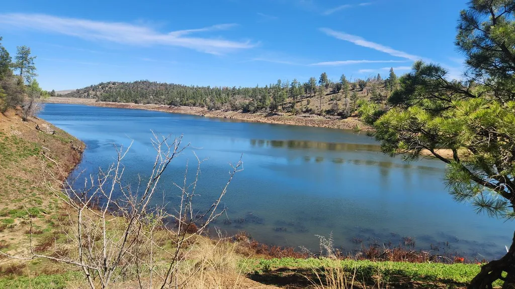 Lynx CampgroundCampingPhoto: Recreation.gov (RIDB) / public domain2.2 mi
Source: Roamze catalog (indexable pages within 10 miles, PostGIS distance)
 Horsecamp Loop Trail #383Mountain biking · ~4 min drivePhoto: gizilich, CC BY-SA 3.0 (via Wikimedia Commons)Groom Creek LoopMountain biking · ~5 min drivePhoto: gizilich, CC BY-SA 3.0 (via Wikimedia Commons)
Map and trail data © OpenStreetMap contributors

