Thumb Butte
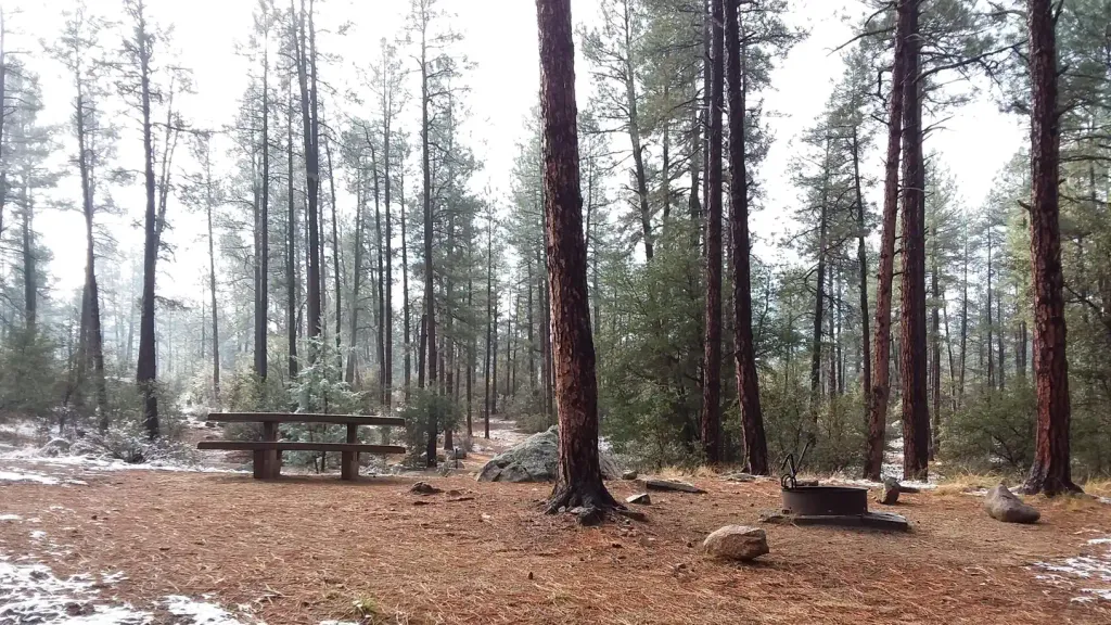
Campground
Campground · 1.5 mi from the trail
The Centennial Trail is a mountain biking route in Arizona, about 0.6 miles from the community of Forbing Park. The trail is roughly 1.9 miles long, with a total elevation gain of 380 feet and a total loss of 425 feet, so it's a short ride that climbs and descends within a few hundred feet of its starting point. The route rises from about 5,468 feet to a high point of 5,732 feet, and the steepest stretch comes at about 1.6 miles in, where the grade reaches 20 percent. That makes it a compact ride with a noticeable climb, and the trail is close enough to town to fit into a short outing. Spring and fall are the most comfortable times to ride. Typical averages from a nearby weather station in Prescott show May highs around 76°F and October highs around 73°F, while July and August average about 90°F with more wet days. In-town bouldering is just 0.3 miles away, and the Butte Creek Trail and the Dog Leg Area are both within about 1.5 miles. For an overnight stay, White Spar Campground is about 3.6 miles off.
Thumb Butte
Campground
 If it rainsDoncram, CC BY-SA 3.0 · Wikimedia Commons
An open-air museum located in Prescott, Arizona
Places © OpenStreetMap contributors, Places © Overture Maps Foundation · Photos: Doncram, CC BY-SA 3.0 (commons)
More in PrescottNot on Roamze yet. Their page has how to reach them.
 White Spar CampgroundCampingPhoto: Recreation.gov (RIDB) / public domain3.6 mi
Source: Roamze catalog (indexable pages within 10 miles, PostGIS distance)
 Waterline #733Mountain biking · ~4 min drivePhoto: Chris English, CC BY-SA 3.0 (via Wikimedia Commons)BLM #729Mountain biking · ~5 min drivePhoto: Chris English, CC BY-SA 3.0 (via Wikimedia Commons)Juniper Gate #701Mountain biking · ~5 min drivePhoto: Chris English, CC BY-SA 3.0 (via Wikimedia Commons)
Best months: March–May and September–October. Best months have typical highs of 55–85 °F, lows of 30 °F or warmer (32 °F where the station doesn't record snow), at most one snowy day and no more than 12 wet days.
Jan
53° / 24°
5 wet
Feb
55° / 26°
6 wet
Mar
61° / 32°
5 wet
Apr
68° / 37°
3 wet
May
76° / 45°
3 wet
Jun
87° / 54°
3 wet
Jul
90° / 61°
9 wet
Aug
87° / 60°
10 wet
Sep
82° / 52°
6 wet
Oct
73° / 40°
4 wet
Nov
62° / 30°
4 wet
Dec
52° / 24°
5 wet
Typical high / low (°F) and days with rain or snow, 1991–2020. Measured at Prescott, AZ, 3.5 mi away at 5,205 ft. The station sits about 500 ft lower than this place, so expect it a little cooler here. This station doesn't record snowfall. Source: NOAA NCEI U.S. Climate Normals 1991–2020.
Map and trail data © OpenStreetMap contributors
