Catalina State Park: Loop B
Campground
Campground · 10 mi from the trail
Window Rock Loop is an easy out-and-back hike on State Trust Land in Arizona, managed as city land. The route is short, about 2.5 miles round trip, with a total elevation gain of 177 feet. It starts and ends near 3,705 feet, with a high point of 3,716 feet and a low point of 3,635 feet along the way. The steepest stretch comes at about 0.88 miles in, with a grade of 3 percent. The most comfortable months to go are spring and fall. Typical averages from a nearby weather station run from highs in the mid-80s with lows in the mid-40s in April to highs in the upper 80s with lows in the upper 40s in October. That station sits roughly 1,000 feet lower than the trail, so expect temperatures on the loop to run a bit cooler. North Mountain Park is just 0.2 miles away, and Badlands Trail is about 2 miles off. East Cochie Springs Trail and West Cochie Canyon Trail both lie within about 4 miles.
Catalina State Park: Loop B
Campground
Lupe's Fine Mexican Food
Mexican restaurant
Wells Fargo Foyer Gallery
Gallery
Places © OpenStreetMap contributors, Places © Overture Maps Foundation
More in OracleSource: Roamze catalog (indexable pages within 10 miles, PostGIS distance)
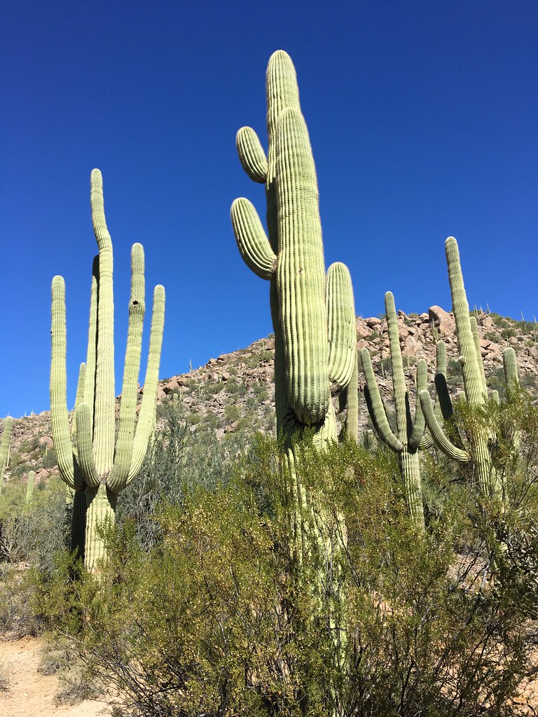 Lower Javelina TrailHiking · ~12 min drivePhoto: Ryan Harvey, CC BY-SA 2.0 (via Flickr)Hotel Spur TrailHiking · ~12 min drivePhoto: Ryan Harvey, CC BY-SA 2.0 (via Flickr)Alamo Spring TrailHiking · ~12 min drivePhoto: Ryan Harvey, CC BY-SA 2.0 (via Flickr)Dove Mountain CommunityHiking · ~14 min drivePhoto: Ryan Harvey, CC BY-SA 2.0 (via Flickr)
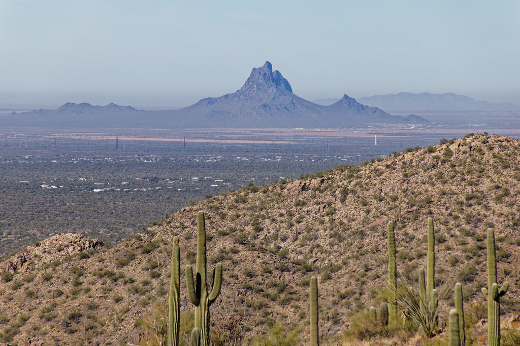 Upper Javelina TrailHiking · ~12 min drivePhoto: KimonBerlin, CC BY-SA 2.0 (via Flickr)
 East Equestrain TrailHiking · ~15 min drivePhoto: Carl Black, CC BY-SA 2.0 (via Flickr)
 Around the MountainHiking · ~17 min drivePhoto: CWanamaker, CC BY 3.0 (via Wikimedia Commons)
Best months: February–April and November. Best months have typical highs of 55–85 °F, lows of 30 °F or warmer (32 °F where the station doesn't record snow), at most one snowy day and no more than 12 wet days.
Jan
67° / 31°
Feb
68° / 32°
Mar
75° / 36°
Apr
82° / 43°
May
91° / 51°
Jun
101° / 60°
Jul
100° / 71°
Aug
98° / 69°
Sep
96° / 62°
Oct
87° / 48°
Nov
76° / 38°
Dec
66° / 31°
Typical high / low (°F) and days with rain or snow, 1991–2020. Measured at Catalina Sp, AZ, 10.8 mi away at 2,707 ft. The station sits about 1,000 ft lower than this place, so expect it a little cooler here. This station doesn't record snowfall. Source: NOAA NCEI U.S. Climate Normals 1991–2020.
Map and trail data © OpenStreetMap contributors

