Alto Pit Ohv Day Use And Campground
Campground
Campground · 3.7 mi from the trail
Closure in the area
There's a closure order in Bradshaw Ranger District. It doesn't name West Spruce, so check the source for the area it covers (2 listed).
Lynx Lake Boat Ramp and Trail Closure Order
Agency closure covering Bradshaw Ranger District · Order 03-09-03-26-12 · USFS · Bradshaw Ranger District
NFS Road 354 Closure Order #03-07-26-02
Agency closure covering Prescott National Forest · Order 03-07-26-02 · USFS · Prescott National Forest
As of · Source: USFS · Bradshaw Ranger District. Agencies don't list every closure — check before you go.
West Spruce is a hard, 16.4-mile out-and-back hike in the Bradshaw Ranger District of Prescott National Forest in Arizona. The route rises about 1,880 feet from a low point of 5,051 feet to a high of 7,062 feet, so the climb is the defining challenge here. The trail is natural-surface and open to both horses and bikes, so it works for riders and pack animals as well as hikers. It is Forest Service land, and the trail is open year-round. Plan on a full day, and consider the elevation gain when you estimate how long it will take. The nearest neighbors are Porter Spur, a hike about 3.2 miles away, and the Alto Coop mountain biking area. Alto Pit OHV Day Use And Campground is about 3.7 miles off. Climbers will find Lost World roughly 4.4 miles away.
Alto Pit Ohv Day Use And Campground
Campground
 If it rainsDoncram, CC BY-SA 3.0 · Wikimedia Commons
An open-air museum located in Prescott, Arizona
Places © OpenStreetMap contributors, Places © Overture Maps Foundation · Photos: Doncram, CC BY-SA 3.0 (commons)
More in PrescottNot on Roamze yet. Their page has how to reach them.
Daily highs and lows, wind and the chance of precipitation at the summit and route start for the next 7 days, from the Open-Meteo model.
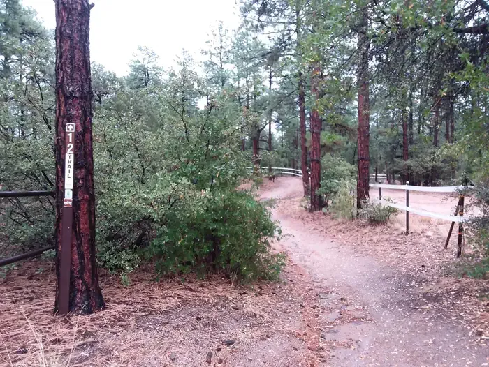 Alto Pit OHV CampgroundCampingPhoto: Recreation.gov (RIDB) / public domain3.9 mi
Source: Roamze catalog (indexable pages within 10 miles, PostGIS distance)
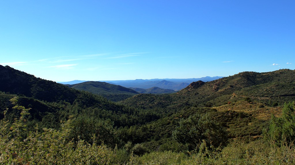 Skyline Trail #712Hiking · ~6 min drivePhoto: Scottb211, CC BY 2.0 (via Flickr)
 Vista Trail #706Hiking · ~7 min drivePhoto: Scottb211, CC BY 2.0 (via Flickr)
Also worth it near here
 Little Granite Mountain Trail #37Mountain biking · ~6 min drivePhoto: Chris English, CC BY-SA 3.0 (via Wikimedia Commons)Southeast FaceRock climbing · ~9 min drivePhoto: Chris English, CC BY-SA 3.0 (via Wikimedia Commons)
Season: Year-round.
About 16.4 mi round trip.
About 1,883 ft of climbing round trip.
It is rated hard.
About 6.5 hours round trip.
Year-round.
