Lynx Campground
Campground
Campground · 6.6 mi from the trail
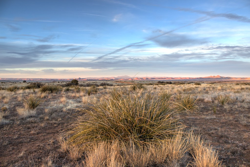 Photo: Scottb211, CC BY 2.0 (via Flickr)
Kestrel Trail is a short, easy out-and-back hike on Arizona's State Trust Land, managed by the State Department of Land. The trail is about 0.44 miles long, with a total elevation gain of 322 feet over the round trip. The route starts at about 5,242 feet and reaches a high point of 5,289 feet, with the steepest stretch at about 0.37 miles in, where the grade reaches 4 percent. Spring and fall are the most comfortable times to go. Typical averages from a nearby weather station in Prescott show May highs around 76°F and October highs around 73°F, while July and August average about 90°F with more wet days. The trip takes about half an hour. Bald Eagle Trail and Raptor Trail both lie about 0.4 miles away, and the Dam Wall climbing area is about 1.1 miles off. For an overnight stay, Lynx Campground is about 6.6 miles away.
Lynx Campground
Campground
 If it rainsDoncram, CC BY-SA 3.0 · Wikimedia Commons
An open-air museum located in Prescott, Arizona
Places © OpenStreetMap contributors · Photos: Doncram, CC BY-SA 3.0 (commons)
More in PrescottNot on Roamze yet. Their page has how to reach them.
 Dam WallRock climbingPhoto: Chris English, CC BY-SA 3.0 (via Wikimedia Commons)1.1 mi
 The Top WallRock climbingPhoto: Chris English, CC BY-SA 3.0 (via Wikimedia Commons)1.7 mi
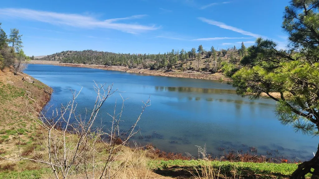 Lynx CampgroundCampingPhoto: Recreation.gov (RIDB) / public domain6.6 mi
Source: Roamze catalog (indexable pages within 10 miles, PostGIS distance)
 Upper Elisabeth Creek TrailHiking · ~1 min drivePhoto: Scottb211, CC BY 2.0 (via Flickr)
 Headwaters TrailHiking · ~2 min drivePhoto: Scottb211, CC BY 2.0 (via Flickr)
 High Chaparrel TrailHiking · ~1 min drivePhoto: Sean Foster, CC BY 3.0 (via Wikimedia Commons)Source TrailHiking · ~1 min drivePhoto: Scottb211, CC BY 2.0 (via Flickr)
 Tom Mix TrailHiking · ~2 min drivePhoto: Scottb211, CC BY 2.0 (via Flickr)Boblett TrailHiking · ~2 min drivePhoto: Scottb211, CC BY 2.0 (via Flickr)
 Rattler TrailHiking · ~2 min drivePhoto: Kevin Dooley from Chandler, AZ, USA, CC BY 2.0 (via Wikimedia Commons)
 Balancing Boulder TrailHiking · ~2 min drivePhoto: Michael Wilson, CC BY-SA 3.0 (via Wikimedia Commons)Trampus TrailHiking · ~2 min drivePhoto: Scottb211, CC BY 2.0 (via Flickr)
Best months: March–May and September–October. Best months have typical highs of 55–85 °F, lows of 30 °F or warmer (32 °F where the station doesn't record snow), at most one snowy day and no more than 12 wet days.
Jan
53° / 24°
5 wet
Feb
55° / 26°
6 wet
Mar
61° / 32°
5 wet
Apr
68° / 37°
3 wet
May
76° / 45°
3 wet
Jun
87° / 54°
3 wet
Jul
90° / 61°
9 wet
Aug
87° / 60°
10 wet
Sep
82° / 52°
6 wet
Oct
73° / 40°
4 wet
Nov
62° / 30°
4 wet
Dec
52° / 24°
5 wet
Typical high / low (°F) and days with rain or snow, 1991–2020. Measured at Prescott, AZ, 4 mi away at 5,205 ft. This station doesn't record snowfall. Source: NOAA NCEI U.S. Climate Normals 1991–2020.
Map and trail data © OpenStreetMap contributors
