Loading…

Free — you'll pick up right here.
Watch this trail
Sign up to watch it — saving subscribes you to gate, closure and report changes.
Arizona
11.1 mi
Distance
1,290 ft
Gain
4h 21m
Time
We won't guess. Here is exactly what we do and don't know.
What we do know
Inside Coronado National Forest
2 managing-area boundaries mapped — agency alerts for them feed this page automatically.
Boundary data
What's missing
No access route mapped
We don't yet know which road reaches this trailhead, so we can't tell you if it's gated.
Nobody's filed a report here yet — be the first.
Why you'll love it
Burro Trail #240
AI-suggested draft · review before you go
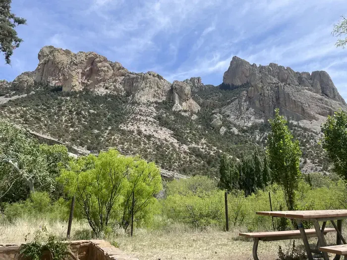
Burro Trail #240 is an 11.1-mile out-and-back trail located in Arizona and managed by the U.S. Forest Service. The route features 1,290 feet of elevation gain, making it a moderately challenging day hike for those with solid endurance. As an out-and-back trail, hikers will travel the same route in both directions, allowing for flexibility in turnaround distance if desired. The trail accumulates approximately 2,580 feet of total elevation change when completing the full round trip. This Forest Service-maintained trail offers access to Arizona's natural landscape and is suitable for hikers seeking a moderate workout with sustained climbing. The elevation gain is distributed across the 11.1-mile distance, creating a gradual ascent rather than steep pitches. Hikers should plan accordingly for the duration and bring sufficient water and supplies. Weather conditions in Arizona can be extreme, particularly during summer months, so early morning starts are recommended. Check current conditions with the U.S. Forest Service before heading out, as trail maintenance and accessibility may vary seasonally.
Horseshoe Ridge Trail #282
~3 min drive
7.2 mi · Moderate
Jones Ridge Trail #365
~3 min drive
2.8 mi · Easy
Price Shake
~6 min drive
6.9 mi · Hard
Price Canyon Trail #224
~4 min drive
11 mi · Moderate
Baker Canyon Trail #225
~3 min drive
5.4 mi · Easy
Snowshed Trail #246
~7 min drive
17 mi · Hard
Crest Trail #270C
~4 min drive
8.9 mi · Moderate
Burnt Stump Trail #366
~3 min drive
0.9 mi · Easy
South Fork Trail #243
~9 min drive
A strenuous 27.56-mile out-and-back trail in Arizona for experienced hikers.
Rucker Trail #222
~4 min drive
9.4 mi · Moderate