Tortilla Campground
Campground
Campground · 2.1 mi from the trail
Closure in the area
There's a closure order in Tonto National Forest. It doesn't name Boulder Canyon Trail, so check the source for the area it covers.
Rattlesnake Cove Developed Recreation Site - Post Flood Recovery and Public Safety Closure
Agency closure covering Tonto National Forest · Order 3-12-01-26-36 · USFS · Tonto National Forest
Temporary Public Health and Safety Closure Granite Reef Recreation Site Area Closure
Agency alert covering Mesa Ranger District · Order 03-12-03-26-33 · USFS · Mesa Ranger District
Canyon Lake Drawdown Public Safety Closure
Agency alert covering Tonto National Forest · Order 03-12-00-26-22 · USFS · Tonto National Forest
No Fire Restrictions
Agency alert covering Tonto National Forest · USFS · Tonto National Forest
Lower Salt River Seasonal Bald Eagle Closures
Agency alert covering Mesa Ranger District · Order 03-12-03-24-65 · USFS · Mesa Ranger District
As of · Source: USFS · Tonto National Forest. Agencies don't list every closure — check before you go.
Boulder Canyon Trail is a 14.5-mile out-and-back hike in Arizona's Superstition Wilderness, within the Mesa Ranger District of Tonto National Forest. The Forest Service manages the land, and the route rises from a low of 1,687 feet to a high of 2,357 feet, with an elevation gain of 826 feet one way. Spring and fall are the most comfortable times to go. Typical averages from a nearby weather station in Apache Junction show March highs around 77°F and November highs around 76°F, while June and July average in the low to mid 100s. The trail sits among several other destinations. Upper La Barge Canyon is less than a mile away, and the Battleship Mountain scramble and Cavalry Trail are within about a mile and a half. Tortilla Campground, about 2 miles off, offers a place to stay.
Tortilla Campground
Campground
Trails End
Attraction
Places © OpenStreetMap contributors
More in Superior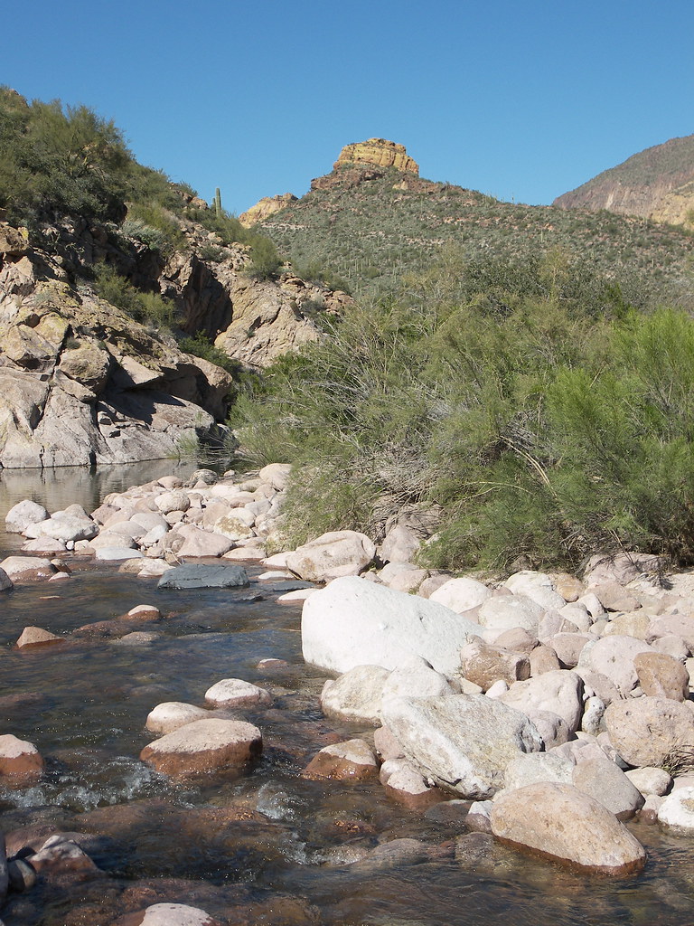 Battleship Mountain scrambleHikingPhoto: deborah.soltesz, Public Domain Dedication (CC0) (via Flickr)1 miCavalry TrailHikingPhoto: deborah.soltesz, Public Domain Dedication (CC0) (via Flickr)1.3 mi
 The IcebergRock climbingPhoto: Sean Foster, CC BY 3.0 (via Wikimedia Commons)4.2 miNorthwest PinnaclesRock climbingPhoto: Sean Foster, CC BY 3.0 (via Wikimedia Commons)4.5 mi
Source: Roamze catalog (indexable pages within 10 miles, PostGIS distance)
Battleship Mountain scrambleHiking · ~2 min drivePhoto: deborah.soltesz, Public Domain Dedication (CC0) (via Flickr)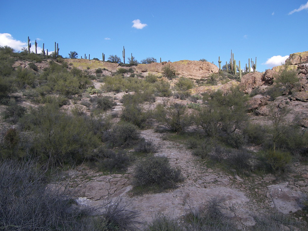 Grand Enchantment TrailHiking · ~4 min drivePhoto: deborah.soltesz, Public Domain Dedication (CC0) (via Flickr)
 Bull Pass TrailHiking · ~6 min drivePhoto: deborah.soltesz, Public Domain Dedication (CC0) (via Flickr)
 Superstition Ridgeline TrailHiking · ~8 min drivePhoto: The3dStudioDotCom, CC BY-SA 3.0 (via Wikimedia Commons)Cavalry TrailHiking · ~2 min drivePhoto: deborah.soltesz, Public Domain Dedication (CC0) (via Flickr)Dutchman TrailHiking · ~5 min drivePhoto: deborah.soltesz, Public Domain Dedication (CC0) (via Flickr)
 Prospectors Trail #57Hiking · ~8 min drivePhoto: dconvertini, CC BY-SA 2.0 (via Flickr)
 Second Water TrailHiking · ~4 min drivePhoto: deborah.soltesz, Public Domain Dedication (CC0) (via Flickr)
 Jacobs CrosscutHiking · ~7 min drivePhoto: Dougtone, CC BY-SA 2.0 (via Wikimedia Commons)Quail Loop TrailHiking · ~8 min drivePhoto: Dougtone, CC BY-SA 2.0 (via Wikimedia Commons)
Best months: November–April. Best months have typical highs of 55–85 °F, lows of 30 °F or warmer (32 °F where the station doesn't record snow), at most one snowy day and no more than 12 wet days.
Jan
67° / 43°
4 wet
Feb
70° / 44°
4 wet
Mar
77° / 48°
4 wet
Apr
85° / 53°
2 wet
May
93° / 60°
2 wet
Jun
103° / 69°
1 wet
Jul
105° / 77°
4 wet
Aug
104° / 76°
6 wet
Sep
99° / 71°
4 wet
Oct
88° / 60°
3 wet
Nov
76° / 50°
3 wet
Dec
66° / 42°
4 wet
Typical high / low (°F) and days with rain or snow, 1991–2020. Measured at Apache Junction 5 Ne, AZ, 5 mi away at 2,070 ft. Source: NOAA NCEI U.S. Climate Normals 1991–2020.
Map and trail data © OpenStreetMap contributors
