6681a1
- 0.7 mi
- round trip
- 152 ft
- climb
- 1,892 ft
- high point
- Out and back
- route
- Nov–Apr
- best months
6681A1 is a short, easy hike on Bureau of Land Management land in the Tucson Field Office, about 7 miles from the town of Laguna, Arizona. The route is an out-and-back of roughly 1.4 miles, with a total climb of about 150 feet. It's a low-effort outing, and the trail is rated easy. The trail is open to both horses and bikes, so riders and pack animals can join the walk. The climb is gentle, with the steepest stretch at about 0.65 miles in, where the grade reaches about 8 percent. The high point is around 1,890 feet, and the low point is about 1,770 feet. Spring and fall are the most comfortable times to go. Typical averages from a nearby weather station in Arizona City show March highs around 76°F and November highs around 75°F, while June and July average in the low 100s. That station sits a few hundred feet lower than the trail, so temperatures on the route run a little cooler.
 West Butte TrailHiking · ~24 min drivePhoto: Sign-Cutter, CC BY-SA 3.0 (via Wikimedia Commons)
 Ridge TrailHiking · ~27 min drivePhoto: Sign-Cutter, CC BY-SA 3.0 (via Wikimedia Commons)
- Lava Flow TrailHiking · ~49 min drive
- East Butte TrailHiking · ~24 min drivePhoto: Sign-Cutter, CC BY-SA 3.0 (via Wikimedia Commons)
- North LoopHiking · ~28 min drivePhoto: Sign-Cutter, CC BY-SA 3.0 (via Wikimedia Commons)
- Los Lonely TrailHiking · ~26 min drivePhoto: Sign-Cutter, CC BY-SA 3.0 (via Wikimedia Commons)
 Sunset Vista TrailHiking · ~35 min drivePhoto: KimonBerlin, CC BY-SA 2.0 (via Flickr)
- Spine TrailHiking · ~27 min drivePhoto: Sign-Cutter, CC BY-SA 3.0 (via Wikimedia Commons)
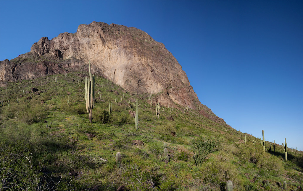 Hunter TrailHiking · ~35 min drivePhoto: squeaks2569, CC BY-SA 2.0 (via Flickr)
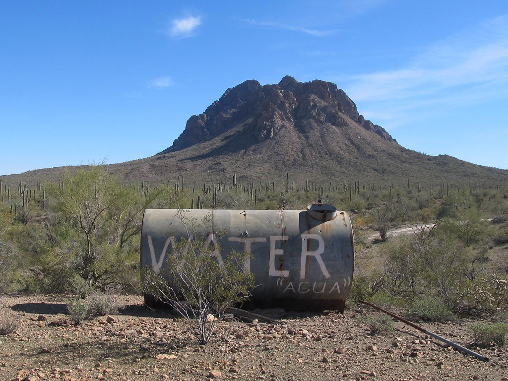 6640M3Hiking · ~29 min drivePhoto: 666isMONEY ☮ ♥ & ☠, CC BY-SA 2.0 (via Flickr)
Best time to visit 6681A1
Best months: November–April. Best months have typical highs of 55–85 °F, lows of 30 °F or warmer (32 °F where the station doesn't record snow), at most one snowy day and no more than 12 wet days.
Jan
64° / 34°
3 wet
Feb
69° / 37°
3 wet
Mar
76° / 43°
2 wet
Apr
84° / 49°
1 wet
May
93° / 58°
1 wet
Jun
103° / 67°
1 wet
Jul
104° / 75°
5 wet
Aug
102° / 75°
6 wet
Sep
98° / 68°
4 wet
Oct
88° / 53°
1 wet
Nov
75° / 41°
2 wet
Dec
64° / 33°
4 wet
Typical high / low (°F) and days with rain or snow, 1991–2020. Measured at Arizona City, AZ, 9.9 mi away at 1,525 ft. Source: NOAA NCEI U.S. Climate Normals 1991–2020.
