Alaska · Hiking
Harding Icefield Trailhead
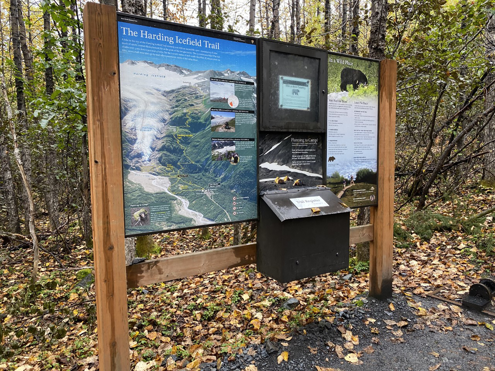 Photo: NPS Photo
- 3.8 mi
- round trip
- 4,135 ft
- climb
- Out and back
- route
Loading this week's forecast
This is the trailhead for the 8 mile roundtrip Harding Icefield Trail. This trailhead is located off of the Glacier Overlook trail. From the Exit Glacier Nature Center walk down the concrete path towards the Glacier Overlook trial, and turn off when you see signs for the Harding Icefield Trail. From here, the trail is roughly 4 miles one way (8 miles round trip). The elevation increases to roughly 4000 feet by the trails end. The trail leads up to the Harding Icefield, which is the largest Icefield entirely within the United States. There are spectacular scenic views of Exit Glacier and the Harding Icefield along the way, especially at Marmot Meadows and at Top of Cliffs
 Overlook TrailHiking · Next doorPhoto: Bo Mertz, CC BY-SA 2.0 (via Wikimedia Commons)
 Resurrection River TrailHiking · ~6 min drivePhoto: Ovedc, CC BY-SA 4.0 (via Wikimedia Commons)
 Caines Head TrailHiking · ~18 min drivePhoto: Gregory "Slobirdr" Smith, CC BY-SA 2.0 (via Wikimedia Commons)
 Inht: Meridian Lake TrailHiking · ~21 min drivePhoto: Marcus Tamura, CC0 (via Wikimedia Commons)
 Rainbow Lake TrailHiking · ~23 min drivePhoto: Forest Service Alaska Region, USDA, Public domain (via Wikimedia Commons)
 Lost Lake TrailHiking · ~13 min drivePhoto: U.S. Department of the Interior, CC BY-SA 2.0 (via Wikimedia Commons)
 Meridian Lakes TrailHiking · ~24 min drivePhoto: dvs, CC BY 2.0 (via Wikimedia Commons)
 Grant Lake TrailHiking · ~39 min drivePhoto: Robert Montgomery, CC BY 2.0 (via Wikimedia Commons)
 Ptarmigan Creek TrailHiking · ~32 min drivePhoto: Matt Langbehn, CC BY-SA 3.0 (via Wikimedia Commons)
- Primrose TrailHiking · ~24 min drivePhoto: dvs, CC BY 2.0 (via Wikimedia Commons)

