Scott Bridge Access
- Feb–May, Sep–Nov
- best months
Scott Bridge Access is a boat launch in Alabama, about 2 miles from the town of Hodges. It serves as a put-in for getting onto the water in this corner of northwest Alabama. For comfortable weather, fall is a strong choice: typical averages from a nearby weather station show October highs around 73°F with lows near 47°F, and September sees the fewest wet days of the year at about seven. Spring is similar, with April highs typically in the low 70s, while summer highs climb into the upper 80s. Paddlers looking to extend a trip have two canoeing options close by. Bear Creek lies about 1.5 miles away, and Little Bear Creek West is roughly 6 miles off.
Source: Roamze catalog (indexable pages within 10 miles, PostGIS distance)
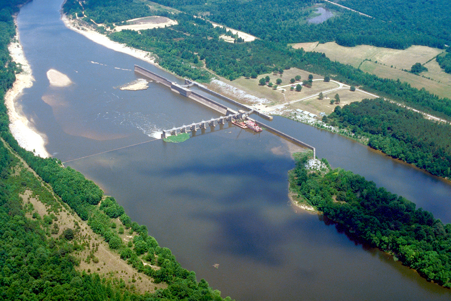 Tombigbee RiverCanoeing · ~52 min drivePhoto: U.S. Army Corps of Engineers, photographer not specified or unknown, Public domain (via Wikimedia Commons)
- Scott Landing Boat LaunchBoat launch · ~3 min drive
- Bear CreekCanoeing · ~3 min drive
- Williams Hollow Boat RampBoat launch · ~6 min drive
- Little Bear Creek WestCanoeing · ~11 min drive
- Military Bridge AccessBoat launch · ~6 min drive
- Cedar CreekCanoeing · ~19 min drive
- Horseshoe Bend Boat RampBoat launch · ~8 min drive
- Williams CreekCanoeing · ~21 min drive
- Piney Point Boat RampBoat launch · ~9 min drive
Best time to visit Scott Bridge Access
Best months: February–May and September–November. Best months have typical highs of 55–85 °F, lows of 30 °F or warmer (32 °F where the station doesn't record snow), at most one snowy day and no more than 12 wet days.
Jan
51° / 30°
11 wet
Feb
55° / 33°
11 wet
Mar
64° / 40°
11 wet
Apr
72° / 47°
10 wet
May
79° / 55°
9 wet
Jun
86° / 63°
9 wet
Jul
88° / 67°
10 wet
Aug
88° / 66°
9 wet
Sep
83° / 58°
7 wet
Oct
73° / 47°
8 wet
Nov
62° / 37°
8 wet
Dec
54° / 33°
11 wet
Typical high / low (°F) and days with rain or snow, 1991–2020. Measured at Russellville 4 Sse, AL, 12.7 mi away at 720 ft. This station doesn't record snowfall. Source: NOAA NCEI U.S. Climate Normals 1991–2020.
Map and trail data © OpenStreetMap contributors
