Hurricane Creek
- 7.0 mi
- distance
- 442 ft
- high point
- Feb–May, Oct–Dec
- best months
Hurricane Creek is a canoeing spot in Alabama, about 3.5 miles from the town of Cedar Cove. Paddlers can put in on the creek and head out for a day on the water in this corner of the state. Spring and fall are the most comfortable seasons to visit. Typical averages from a nearby weather station show highs around 75°F in April and 77°F in October, while July and August average highs near 91°F. Winters are mild, with January highs around 54°F. Cottondale Creek, another paddling route, lies about 9.6 miles away. Climbers will find the Rock that is Higher than I climbing area and the Joelder climbing area roughly 10 miles from the creek.
- Cottondale CreekCanoeing9.6 mi
- The Rock that is Higher than IRock climbing9.9 mi
- The Rocks that are Higher than I Bouldering AreaRock climbing10 mi
- JoelderRock climbing10 mi
- I'm "Lichen" these Cliffs AreaRock climbing10 mi
Source: Roamze catalog (indexable pages within 10 miles, PostGIS distance)
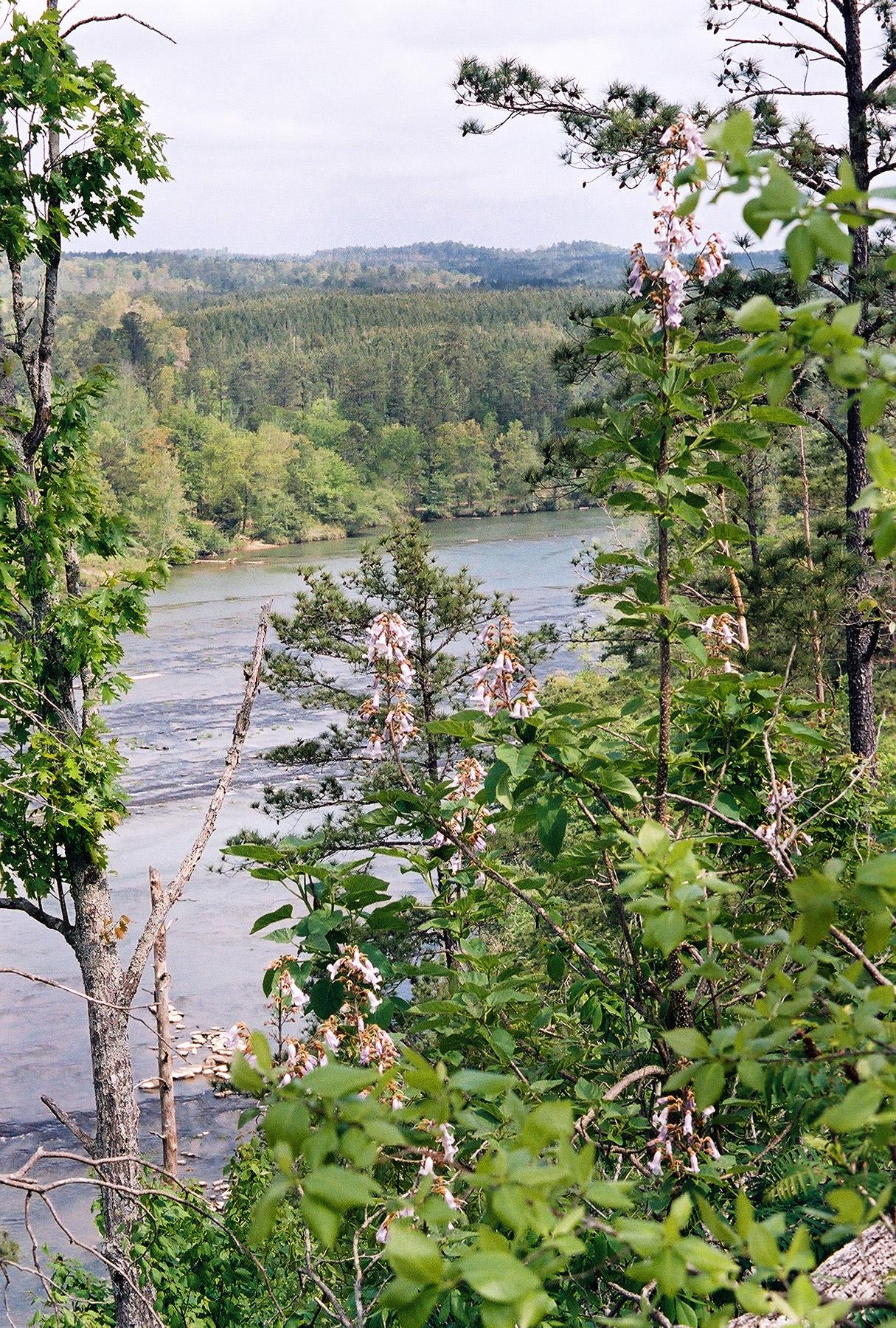 Cahaba RiverCanoeing · ~1h 8m drivePhoto: U.S. Fish and Wildlife Service, Public domain (via Wikimedia Commons)
- Rock Quarry LandingBoat launch · ~16 min drive
- Cottondale CreekCanoeing · ~17 min drive
- Rock Quarry Park Boat LandingBoat launch · ~24 min drive
- Big Sandy CreekCanoeing · ~17 min drive
- Disney Lake Boat LaunchBoat launch · ~1h 6m drive
- Big CreekCanoeing · ~39 min drive
- Beeswax Boat LaunchBoat launch · ~1h 15m drive
- Sixmile CreekCanoeing · ~40 min drive
- Shades CreekCanoeing · ~41 min drive
Best time to visit Hurricane Creek
Best months: February–May and October–December. Best months have typical highs of 55–85 °F, lows of 30 °F or warmer (32 °F where the station doesn't record snow), at most one snowy day and no more than 12 wet days.
Jan
54° / 34°
11 wet
Feb
59° / 37°
11 wet
Mar
67° / 43°
11 wet
Apr
75° / 51°
9 wet
May
82° / 59°
9 wet
Jun
88° / 68°
10 wet
Jul
91° / 71°
11 wet
Aug
91° / 70°
9 wet
Sep
86° / 64°
7 wet
Oct
77° / 53°
7 wet
Nov
65° / 42°
8 wet
Dec
57° / 37°
10 wet
Typical high / low (°F) and days with rain or snow, 1991–2020. Measured at Bankhead L&D, AL, 17.4 mi away at 280 ft. Source: NOAA NCEI U.S. Climate Normals 1991–2020.
