Turkey Creek Road
- 0.8 mi
- round trip
- 322 ft
- climb
- 598 ft
- high point
- Out and back
- route
- Feb–May, Sep–Dec
- best months
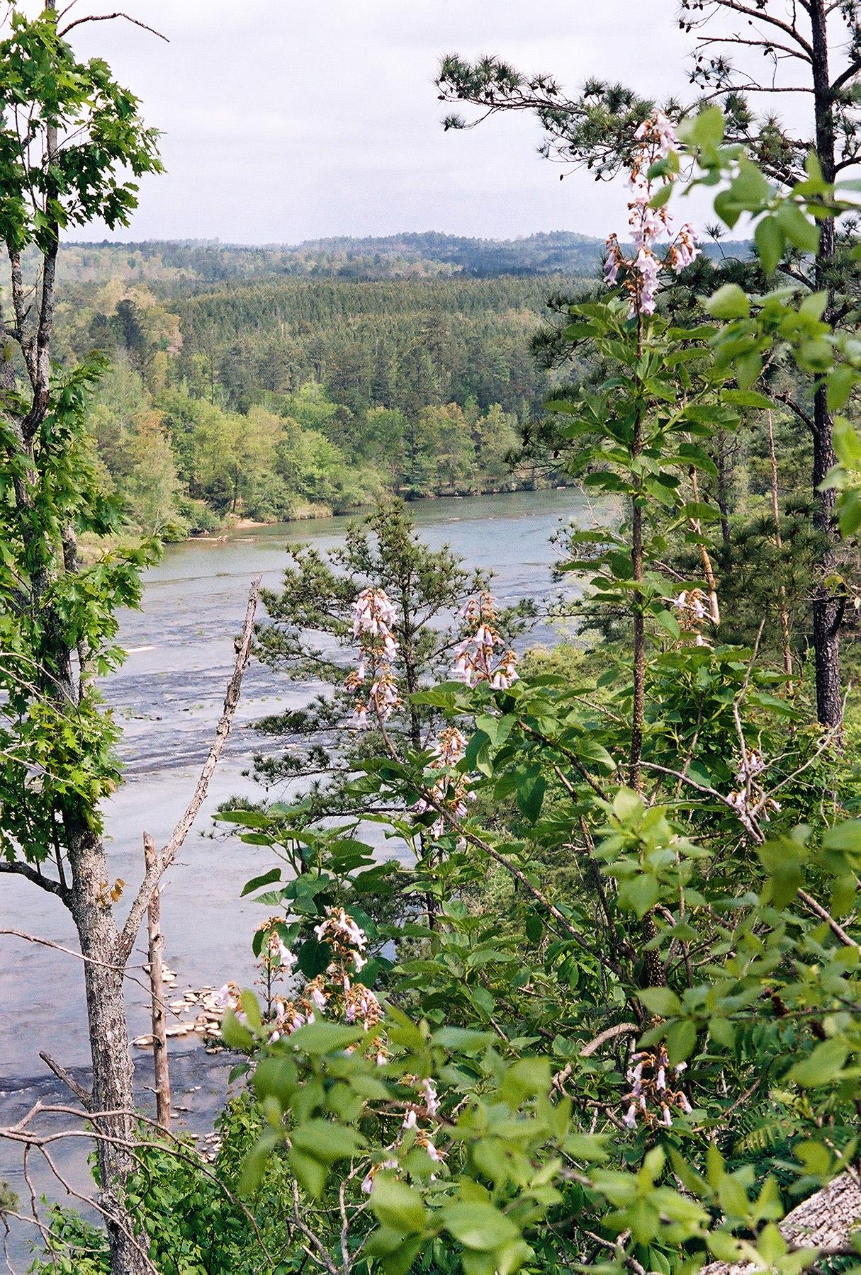
Turkey Creek Road is a short, easy out-and-back hike in Turkey Creek Nature Preserve in Alabama, managed by the State Department of Natural Resources. The route is about 1.5 miles long, with a total elevation gain of about 49 feet, so it's a gentle walk that can be done in a single outing. The trail rises from a low point of about 553 feet to a high of about 598 feet, and the steepest stretch comes at about 0.37 miles in, with a grade of about 9 percent. The climb is mild, and the route is well suited to a quick visit or as a link between other trails in the preserve. Spring and fall are the most comfortable times to go. Typical averages from a nearby weather station in Pinson show October highs around 75°F with lows near 50°F, and April is similar, while July and August average highs around 90°F. Several other trails sit close by. Thompson Trace Trail is about 0.2 miles away, Highlands Trail is about 0.5 miles away, and Narrows Ridge Trail is about 0.7 miles away. Turkey Creek, a canoeing spot, is about 1.8 miles away.
Best time to go · Feb–May, Sep–Dec
Best time to visit Turkey Creek Road
Best months: February–May and September–December. Best months have typical highs of 55–85 °F, lows of 30 °F or warmer (32 °F where the station doesn't record snow), at most one snowy day and no more than 12 wet days.
Jan
54° / 31°
10 wet
Feb
58° / 34°
10 wet
Mar
67° / 41°
10 wet
Apr
75° / 48°
8 wet
May
82° / 56°
9 wet
Jun
88° / 65°
10 wet
Jul
90° / 68°
11 wet
Aug
90° / 68°
8 wet
Sep
85° / 61°
6 wet
Oct
75° / 50°
6 wet
Nov
64° / 39°
8 wet
Dec
56° / 34°
10 wet
Typical high / low (°F) and days with rain or snow, 1991–2020. Measured at Pinson, AL, 1 mi away at 608 ft. Source: NOAA NCEI U.S. Climate Normals 1991–2020.
Keep exploring — more trails worth the drive
 Photo: EricEricson, CC BY-SA 3.0 (via Wikimedia Commons)
Moss Rock Preserve Orange Trail
~39 min drive
1.54-mile lollipop trail in Alabama with 244 ft gain and 494 ft loss.
Photo: EricEricson, CC BY-SA 3.0 (via Wikimedia Commons)Moss Rock Preserve White Trail
~40 min drive
Scenic 2.69-mile loop through Alabama's Moss Rock Preserve with quartzite formations.
HIKE
Irondale Furnace Trail
~23 min drive
0.58-mile out-and-back hike to Irondale Furnace in Alabama
Photo: EricEricson, CC BY-SA 3.0 (via Wikimedia Commons)Moss Rock Preserve Red Trail
~42 min drive
0.84-mile out-and-back hike in Alabama with 172 ft gain.
HIKE
Slingshot
~44 min drive
3.17-mile out-and-back trail in Alabama with 622 ft gain
HIKE
Belcher Byway
~39 min drive
Belcher Byway is a 1.67-mile out-and-back trail in Alabama with 447 feet of elevation gain.
HIKE
Thompson Trace Trail
Next door
1.28-mile out-and-back trail in Alabama with 373 ft gain.
HIKE
Far End Back Trail
~42 min drive
1.92-mile out-and-back trail in Alabama with 515 ft gain.
HIKE
Highlands Trail
Next door
0.37-mile out-and-back trail in Alabama with 134 ft elevation gain.
HIKE
Rim Walk East
~44 min drive
1.95-mile out-and-back trail on Alabama's park rim with 621 ft gain.
Map and trail data © OpenStreetMap contributors
